- Home
- :
- All Communities
- :
- Products
- :
- ArcGIS Network Analyst
- :
- ArcGIS Network Analyst Questions
- :
- Network analyst in Arcgis pro
- Subscribe to RSS Feed
- Mark Topic as New
- Mark Topic as Read
- Float this Topic for Current User
- Bookmark
- Subscribe
- Mute
- Printer Friendly Page
Network analyst in Arcgis pro
- Mark as New
- Bookmark
- Subscribe
- Mute
- Subscribe to RSS Feed
- Permalink
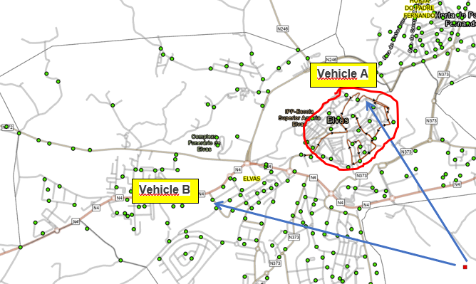
In a tunnel with 3.9 m high, how can I allow a truck with 3.7 m to pass and prevent another truck with 4 m from passing? Thanks.
- Mark as New
- Bookmark
- Subscribe
- Mute
- Subscribe to RSS Feed
- Permalink
totally never tried it ... just check the help files using "network analyst height restrictions" and one of several
RouteSolverProperties—Network Analyst module | Documentation
| attributeParameters (Read and Write) | Provides the ability to get or set the parameterized attributes to be used in the analysis. The property returns a Python dictionary. The dictionary key is a two-value tuple consisting of the attribute name and the parameter name. The value for each item in the dictionary is the parameter value. Parameterized network attributes are used to model some dynamic aspect of an attribute's value. For example, a tunnel with a height restriction of 12 feet can be modeled using a parameter. In this case, the vehicle's height in feet should be specified as the parameter value. If the vehicle is taller than 12 feet, this restriction will then evaluate to True, thereby restricting travel through the tunnel. Similarly, a bridge could have a parameter to specify a weight restriction. |
... sort of retired...
- Mark as New
- Bookmark
- Subscribe
- Mute
- Subscribe to RSS Feed
- Permalink
I have already tried this with only one truck. Now I want to be able to do it for two trucks in the same solution VRP.
- Mark as New
- Bookmark
- Subscribe
- Mute
- Subscribe to RSS Feed
- Permalink
When you create a restriction on the network and set up the vehicle height parameter for that restriction, the value you put in there is simply the default. You can adjust that value before solving your analysis.
The best thing to do is to create two travel modes, one for each truck. A travel mode includes all the analysis settings, such as restrictions and parameters, that will be applied for the analysis. In the Restrictions section of the travel mode configuration, set the vehicle height parameter value to the appropriate value. In other words, you can just override the default value of the parameter using the correct value for the truck you're trying to model.
- Mark as New
- Bookmark
- Subscribe
- Mute
- Subscribe to RSS Feed
- Permalink
I've already done that.
What I'm looking for is a way in the VRP solution to compare the height of the road with the height of vehicles A and B at the same time (in the same VRP analysis).
Thank you for your time.
- Mark as New
- Bookmark
- Subscribe
- Mute
- Subscribe to RSS Feed
- Permalink
You are correct that a VRP analysis can only use one travel mode at a time. By restricting the problem to just a single travel mode when in reality there are two vehicle types, one with a more restrictive set up then the other, I see two different things that might need to be worked around. The first is that some orders simply can not be reached by the more restrictive vehicle because to get to that order the vehicle must drive on a street that it is not allowed. To overcome this I would first solve the problem with the more restrictive of the travel modes. Any orders that are unreachable by the vehicles with that travel mode will need to be visited by the other vehicle and all the others can be visited by either vehicle type. Then solve the VRP with the less restrictive travel mode and use specialties to restrict the orders that must be on the less restrictive vehicle.
The second thing that will need to be considered is the final route paths being optimized for the specific travel mode. To do this once the VRP analysis is done, the route paths can be rerun using the Route solver to get the best path for each travel mode. The VRP analysis will already be done with one of the travel modes so only the routes that will be driven by the other vehicle type will need to be rerun.
Hope this helps,
Heather
- Mark as New
- Bookmark
- Subscribe
- Mute
- Subscribe to RSS Feed
- Permalink
I'm going to try that solution.
Thank you for your time.
- Mark as New
- Bookmark
- Subscribe
- Mute
- Subscribe to RSS Feed
- Permalink
If you can provide more details, it would help me to better answer your question. For example, are you running a network analysis using the ArcGIS Online services or the REST API or something, or are you using ArcMap or ArcGIS Pro with your own network dataset?
- Mark as New
- Bookmark
- Subscribe
- Mute
- Subscribe to RSS Feed
- Permalink
I'm using ArcGIS Pro with my network dataset. Thank you for your time.