ArcGIS Maritime Blog - Page 6

cancel
Showing results for 
Show  only  | Search instead for 
Did you mean: 

Latest Activity

(123 Posts)
MrinmayeeBharadwaj
Esri Regular Contributor

Check out Rafael Ponce's Hydro International article! Out now...


What is the "speed of trust"?


How do we visualize and materialize the evolution of a central database production system, into a true geospatial agency, developing a hydrospatial information system capable of providing products and services, for multidimensional analysis and decision-making through apps and web browsers?


Rafael Ponce, Esri's Global Maritime Consultant, presents a paper on what the next frontier for hydrographic offices might look like. 

Let's join him on this journey! 


more
1 0 912
MrinmayeeBharadwaj
Esri Regular Contributor

Register now!!

July 28th and 29th 2020

In this webinar, we will cover multiple elements in ArcGIS Maritime, including the following:

  •  S-57 and S-101 in ArcGIS Pro
  • Electronic and paper nautical charts with ArcGIS Maritime

Do connect with feedback, questions and comments about this webinar here!

more
2 0 992
MrinmayeeBharadwaj
Esri Regular Contributor

The ArcNews Summer 2020 Issue carries a great article on how Nautical Charts are undergoing a transformation to become completely digitized with the help of GIS technology.

The ArcGIS Maritime team has been on the forefront of making this electronic-first endeavor, where all the data is pulled from one standardized, GIS-based system. 

“This is completely turning on its head how traditional paper charts are made. These charts are still going to be safe for navigation, but they’re going to look different. It’s a big change.”

And it’s where the industry, by and large, is heading.

Read more of this thoroughly interesting and insightful article!

more
1 0 737
MrinmayeeBharadwaj
Esri Regular Contributor

The Esri Virtual UC 2020 is going to be a unique experience for everyone!

For navigating through our various sessions and having the best ArcGIS Maritime experience, do refer to our comprehensive Survival Guide story map.

You'll find:

  • Important tips and information on our agenda this year
  • Visit our product success stories which are possible because of customers like you!
  • Access webinar recordings
  • Blogs repository and Leadership Thoughts
  • Access related public sites
  • Demos

more
0 0 668
MrinmayeeBharadwaj
Esri Regular Contributor

The Esri User Conference has many virtual presentations and sessions with hundreds of topics covered. To help you find your way to the oceans and maritime related sessions and events, we have prepared a more focused agenda.


*Please register as a full-access attendee to watch sessions and participate in the virtual expo at Esri UC 2020!

Maritime Organizations Start Here Showcase

Booth ID: SH-09-03 (Use the Booth ID to Chat or Schedule a Meeting with an Expert!)

(Located in the National Mapping, Charting and Official Statistics area, as well as in the Mapping, Cartography and Visualization area)

https://uc2020.esri.com/showcase/11EABB19EE4ECE6082654F82FCF35551/National-Mapping-Charting--Officia... 


https://uc2020.esri.com/showcase/11EABB19F361544082654F82FCF35551/Mapping--Visualization/11EABB19BE0... 


Monday, July 13                         12:15 PM–4:00 PM PDT

Tuesday, July 14                       7:30 AM–9:40 AM and 11:10 AM–3:50 PM PDT

Wednesday, July 15                 7:30 AM–9:40 AM and 11:10 AM–3:50 PM PDT

Maritime industry is key to a Nation’s Blue Economy which relies on maritime and bathymetric information to sustain and fuel growth. Esri's solutions revolutionize organizational modernization and automation by providing tools to manage, produce, and share information using ArcGIS.

ArcGIS Maritime provides capabilities to generate a wide variety of online services on-demand from maritime content in support of Marine SDI and data dissemination requirements while ArcGIS Bathymetry geo-enables your bathymetric data for better decision-making and problem solving.  

On Demand:

Session ID:

10340

ArcGIS Maritime: Making Maritime Data Accessible

This session will demonstrate how users can publish and consume maritime information throughout the ArcGIS platform to support various industries such as Ports, Natural Resources and Defense. 

Session ID:

11261

Maritime Standards - Support in Esri's Nautical Products

This session reviews the latest developments in IHO S-100 standards, what's new, their relevance, how the IHO S-100 registry is organized and how Esri technology supports these standards.

...........................................................................................................................................................................................

UC Special Interest Group (SIG) Meetings:


Thursday, July 16
6:15 AM PST

Esri Science Symposium

2:15 PM PST

Oceans, Weather, and Climate SIG

2:15 PM PST

Ports SIG
.........................................................................................................................................................................................

ArcGIS Maritime QuickLinks:

See you there!

more
1 0 1,258
MrinmayeeBharadwaj
Esri Regular Contributor

NOAA recently announced plans to sunset the production of paper charts starting in 2020, with no new edition paper charts available after January 2025.

Commercial ship crews saw this shift coming, but the announcement created a backlash with recreational boaters.

With the overlap and many scales, the original raster chart set has a great deal of duplication. It takes a lot of work to find and update any feature. If a navigation buoy is repositioned, for instance, its new location has to be marked on all the charts where it appears—at all scales and accounting for all overlaps.

Esri Industry Expert Steve Snow digs deeper into the past, present and future of Charting in this ArcGIS Blog.

more
0 0 444
MrinmayeeBharadwaj
Esri Regular Contributor

In this webinar, you will learn about:

  • What "hydrospatial" means?
  • Building an MSDI and real-world examples using Esri technology.
  • Geographic information system (GIS) technology trends influencing MSDIs.
  • The United Nations (UN) Integrated Geospatial Information Framework and its connection to UN Sustainable Development Goals.
  • The S-100 Universal Hydrographic Data Model as a catalyst for change.

The YouTube recording is now available!!

more
0 0 1,270
MrinmayeeBharadwaj
Esri Regular Contributor

Increase the value of your bathymetric data using modern tools!! 

Management of bathymetric data for navigational depths and under keel clearance is critical for a port's operations and competitiveness.

This webinar highlights how you can leverage your bathymetric data for better analysis and planning of your berths and harbor terminals and how this information can become a vital component of your port's digital information strategy for success.

Registration is free, book a seat now!

more
0 1 758
MrinmayeeBharadwaj
Esri Regular Contributor

Learn to use and automate machine-based object detection using convolutional neural networks in ArcGIS to solve real-world problems. 

Presenting Hydrographic Applications of AI!!

Learn how to:

  • Quickly apply GeoAI for object detection
  • Apply ArcGIS deep learning tools
  • Update Nautical Charts from AI outputs
  • Publish Nautical Charts as webservices

The YouTube recording is now available!!

more
1 0 976
MrinmayeeBharadwaj
Esri Regular Contributor

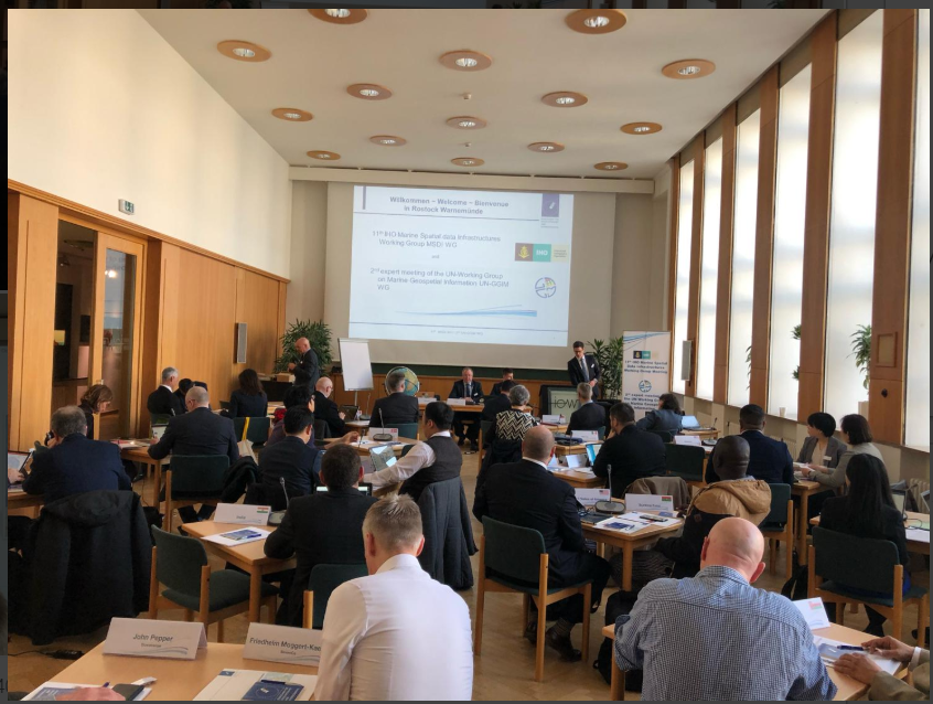
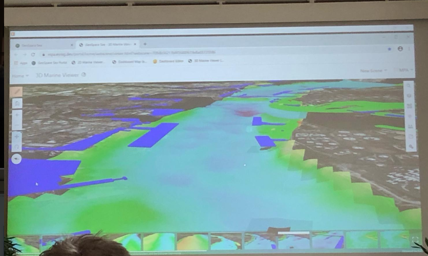
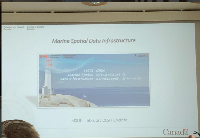
ArcGIS Maritime Senior Consultant Rafael Ponce is currently attending the International Hydrographic Organization's MSDI working group.

As the Federal Ministry of Transport and Infrastructure (BSH) plays an excellent host, the symposium is establishing the guidelines and exchanging experiences in implementing MSDIs, the future (and present) of hydrographic offices moving from product makers (charts) to authoritative hydrographic data providers, effectively bringing sea and land together for its broad use, leveraging the advantages of S-100, and redefining how these agencies should be in the coming decade.

more
1 0 517
115 Subscribers