- Home
- :
- All Communities
- :
- Products
- :
- Mapping and Charting Solutions
- :
- Mapping and Charting Questions
- :
- Re: how do i create a landslide suceptibility map ...
- Subscribe to RSS Feed
- Mark Topic as New
- Mark Topic as Read
- Float this Topic for Current User
- Bookmark
- Subscribe
- Mute
- Printer Friendly Page
how do i create a landslide suceptibility map using logistic regression with arcgis10.0?
- Mark as New
- Bookmark
- Subscribe
- Mute
- Subscribe to RSS Feed
- Permalink
please i am final year undergraduate student
my project is to build a landslide succeptibility map using lodistics regression.
i have generated the following maps so far..
slopemap, hillshade, curverture, elevation, road buffers, river buffers of 100 - 500m , Aspect, land use land cover, ndvi.
all this maps after production do not have aribute table...
please i need a detailed explanation on how to use some of this data produced to produce a suceptibility map using logistic regression..
Thank you for your soonest possible reply..
- Mark as New
- Bookmark
- Subscribe
- Mute
- Subscribe to RSS Feed
- Permalink
There are no tables since most of the grids are floating point grids and only integer grids can have tables. Are you to perform a logistic regression on each layer (ie trend analysis with the logistic option ) or using a combination of the grids? Are all these variables needed for the model or have a bunch of datasets been created which might be useful? What guidance were you given for this problem so that the people on the site don't advise you against the wishes or instructions of your advisor.
- Mark as New
- Bookmark
- Subscribe
- Mute
- Subscribe to RSS Feed
- Permalink
I think the logistic regression should be on all the layers so far I would
be able to produce a susceptibility map using logistic regression... your
help would be very appreciated ..Thank you very much...
- Mark as New
- Bookmark
- Subscribe
- Mute
- Subscribe to RSS Feed
- Permalink
I wouldnt mind if you would teach me how to to produce a susceptibility map using logistic regression i am a novice and most of the maps produced are from youtube tutorials thanks for
- Mark as New
- Bookmark
- Subscribe
- Mute
- Subscribe to RSS Feed
- Permalink
this maps were produced as a result of the articles I read...
I really need help with this thank you
- Mark as New
- Bookmark
- Subscribe
- Mute
- Subscribe to RSS Feed
- Permalink
You are providing no information for us to help you with. What articles? Why did they suggest those layers? and more importantly...what is your thesis advisor suggesting? You can't go blindly into a project like this without a firm game plan and some thoughtful consideration as to the types and appropriateness of the data you intend to use. After these are addressed, I am sure you will have some technical issues on how to implement your plan within a GIS. Good luck
- Mark as New
- Bookmark
- Subscribe
- Mute
- Subscribe to RSS Feed
- Permalink
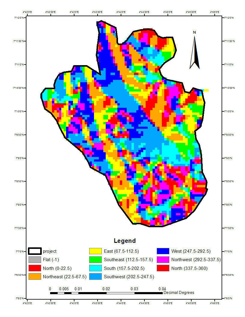
attached are some of the maps generated...
and also some of the materials used....
my supervisor insisted i use logistic regression analysis for the analysis..
ild appreciate any help you could do to put me tru..
thank you..
- Mark as New
- Bookmark
- Subscribe
- Mute
- Subscribe to RSS Feed
- Permalink
No attachments present
- Mark as New
- Bookmark
- Subscribe
- Mute
- Subscribe to RSS Feed
- Permalink
have you seen it sir