- Home
- :
- All Communities
- :
- Developers
- :
- JavaScript Maps SDK
- :
- JavaScript Maps SDK Questions
- :
- Tell me if there's another way...
- Subscribe to RSS Feed
- Mark Topic as New
- Mark Topic as Read
- Float this Topic for Current User
- Bookmark
- Subscribe
- Mute
- Printer Friendly Page
Tell me if there's another way...
- Mark as New
- Bookmark
- Subscribe
- Mute
- Subscribe to RSS Feed
- Permalink
Hello Everyone! I am in the middle of doing a project that I would love feedback on.
Background
An application I have created produces a MAP document to some pretty narrow specifications. The application uses MapServer SOAP accessible endpoints to basically query and turn on/off layers and produce this downloadable document all ready for whatever they use it for. This document had map imagery and multiple layers.
New Practice
We are migrating to the ESRI portal federated architecture. Our GIS group is changing their practices so that all imagery is tile-cache only. This works great for applications that are map-based (like everything in Portal), but I have developed loads of tools that do geospatial analysis on ArcServer without map interfaces.
What I'm Doing
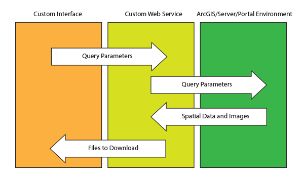
I have created a web service that does the following...
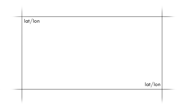
1. I'm doing a query and buffer against some geometry. It returns the extent.
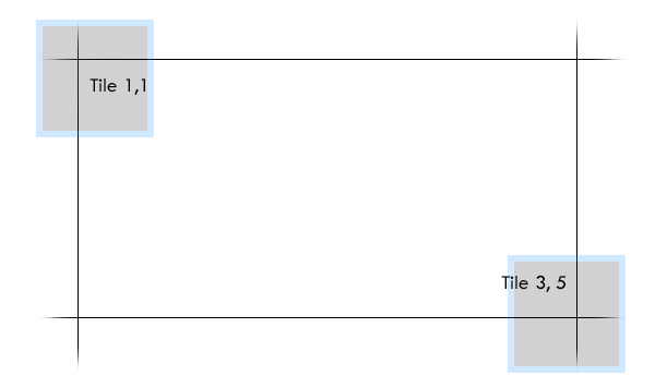
2. I grab the tiles that correspond to the area I'm generating data for.
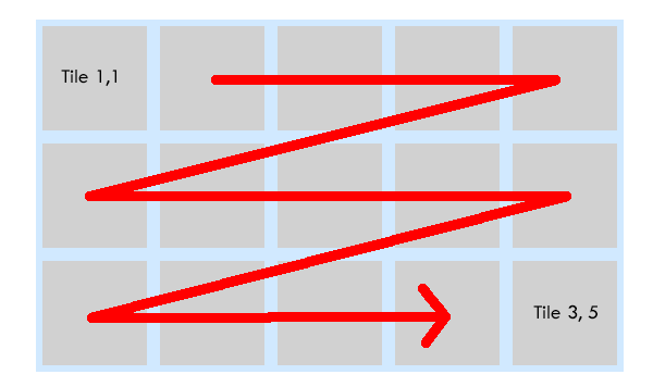
3. I'm temporarily downloading all the tiles in the area of interest.
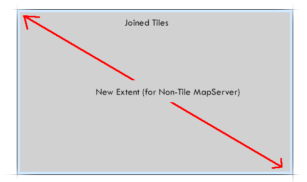
4. I'm joining the tiles together into a single image and calculating the new extent to layer things on top of it.
The objective is to allow individuals to create the documents they need without knowledge of spatial systems or online mapping tools. The UI gives a user a few simple fields to provide and the end result is multiple files that they need for some purpose.
If there is a better way, please let me know. I used to rely on the MapServer endpoint to build the imagery for me, but I can no longer do that.
Justin Wilson
Software Developer
Forsyth County Georgia