- Home
- :
- All Communities
- :
- Developers
- :
- JavaScript Maps SDK
- :
- JavaScript Maps SDK Questions
- :
- Re: Display Utility Network Flow Direction on Dyna...
- Subscribe to RSS Feed
- Mark Topic as New
- Mark Topic as Read
- Float this Topic for Current User
- Bookmark
- Subscribe
- Mute
- Printer Friendly Page
Display Utility Network Flow Direction on Dynamic Map Using ArcGIS JS API
- Mark as New
- Bookmark
- Subscribe
- Mute
- Subscribe to RSS Feed
- Permalink
Hi All,
Short question here.. Is there any ways to display the geometric network flow direction on a dynamic map using ArcGIS JS API?
It's similar with Utility Network Analyst >> Flow >> Display Arrows menu on ArcMap.
Thanks..
- Mark as New
- Bookmark
- Subscribe
- Mute
- Subscribe to RSS Feed
- Permalink
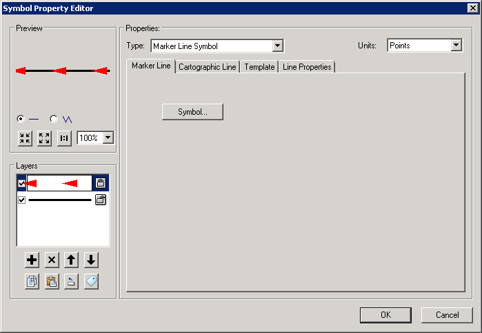
If you get your symbology down in ArcMap, when you publish a Map Service, it should show as the default symbology. For example:

After publishing to the server:

- Mark as New
- Bookmark
- Subscribe
- Mute
- Subscribe to RSS Feed
- Permalink
Hi Chris, Thanks for the response..
But we need to keep track of the flow symbol in accordance with the source and sink position, not the drawing direction.
Just like in arcmap, if we reset the flow direction, it will show a black circle, not an arrow. Then, if we execute the set flow function, the arrow will appear, facing down from source to the sink.
Is there any ways to achieve this directly from the JS API or from python maybe?
At least, can't we get the information on a polyline, what's the flow status on that particular object?
Thanks..