- Home
- :
- All Communities
- :
- Products
- :
- ArcGIS for Microsoft
- :
- ArcGIS for Microsoft Fabric
- :
- ArcGIS for Power BI
- :
- ArcGIS for Power BI Questions
- :
- How to create a flow map using ArcGIS maps for po...
- Subscribe to RSS Feed
- Mark Topic as New
- Mark Topic as Read
- Float this Topic for Current User
- Bookmark
- Subscribe
- Mute
- Printer Friendly Page
How to create a flow map using ArcGIS maps for power bi
- Mark as New
- Bookmark
- Subscribe
- Mute
- Subscribe to RSS Feed
- Permalink
I have zip codes of customers (as origin) that I want to map to transit stations (destination). I added the flow map custom visual but it doesn't recognize the zip codes. The ESRI visual recognizes the zip code but I'm not sure how to create flow lines.
- Mark as New
- Bookmark
- Subscribe
- Mute
- Subscribe to RSS Feed
- Permalink
Hi Letitia King-Branch, I don't think this is possible in Power BI. However, there are workarounds which will approximate what you are looking to achieve.
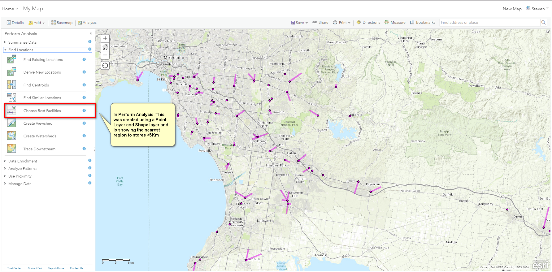
I have a model where I locate stores in a radius of a statistical region. I achieve this by creating Lat/Long coordinates for stores and Lat/Long coordinates for the region using the centroid location. I then use Dax to show the stores within a distance of the region which can be represented on an ArcGIS map using the filtered stores as points. I've also created a Hosted Feature Layer of the regions which I use as a background to the point layer.
I have seen an Analysis feature in AGOL that creates this.
 you can save it as a feature layer under your point layer... this may be closer to what you are after but, Power BI is limited to filtering only the top layer (be it a point or area layer) of the visual.