Hi,
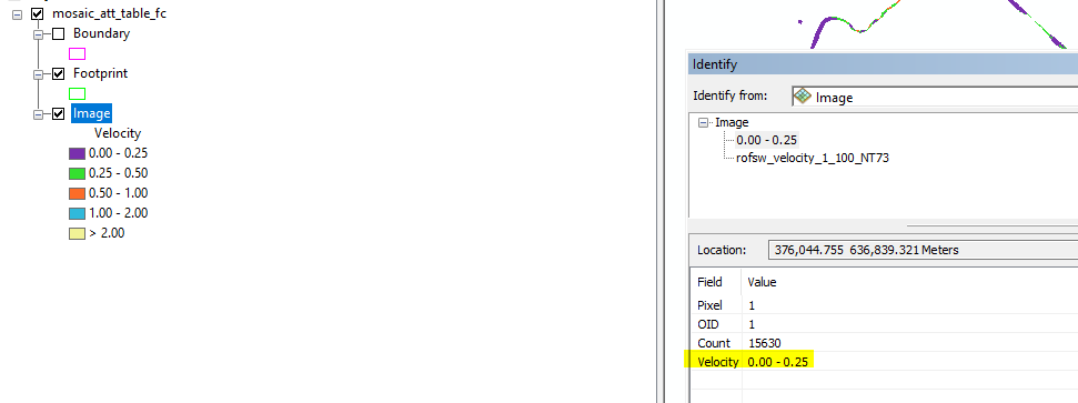
I have a set of raster files with attributes tables. I followed the instructions here Attribute Table function—Help | ArcGIS for Desktop and added this function to my mosaic. I can see the attribute values of Velocity when clicked in the map. I would like to achieve the same result on the data published as a map service.

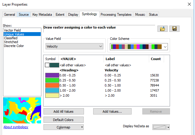
When I publish the mxd with the mosaic (Symbology Unique Values, Value field Velocity) to ArcGIS server (10.6.1, Image Server), the image is blank.

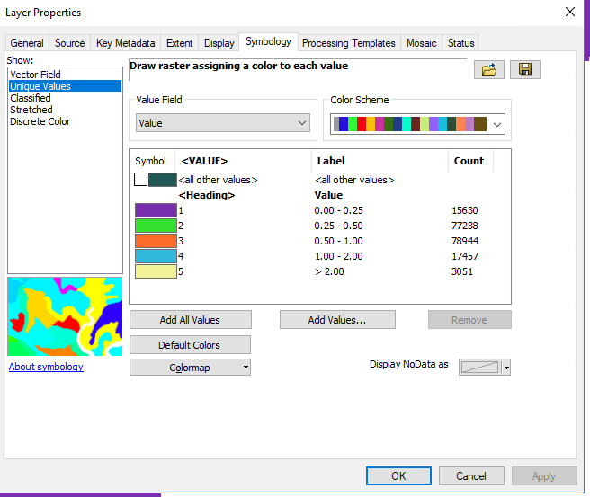
Only Unique Values symbology based on Value (labels renamed) seems to produce an image from a map service:

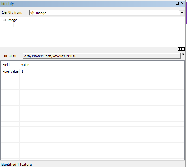
But when using the Identify tool on the image layer from the map service, only pixel values are returned.

I would like to see the attribute values when clicked on the image layer from my map service. Is this possible?
Thanks,
Monika