- Home
- :
- All Communities
- :
- Products
- :
- ArcGIS Enterprise
- :
- ArcGIS Enterprise Portal Questions
- :
- how to display X and Y points as polygon?
- Subscribe to RSS Feed
- Mark Topic as New
- Mark Topic as Read
- Float this Topic for Current User
- Bookmark
- Subscribe
- Mute
- Printer Friendly Page
how to display X and Y points as polygon?
- Mark as New
- Bookmark
- Subscribe
- Mute
- Subscribe to RSS Feed
- Permalink
Where are you seeing those points (e.g webapp, esri maps for sharepoint)) ??
You can use ArcGIS Desktop to transform those points in polygons. There are few ways to do that. Check this suppport technical article:
How To: Convert a point feature class to a polygon feature class
- Mark as New
- Bookmark
- Subscribe
- Mute
- Subscribe to RSS Feed
- Permalink
I'm using (Esri maps for SharePoint). I will check the article as well.
- Mark as New
- Bookmark
- Subscribe
- Mute
- Subscribe to RSS Feed
- Permalink
My suggestions or simple way is process the point data to be a polygon ( polygon shapefile - zip ) , before share in ArcGIS Online. Polygon is series on xy coordinates, not list of point objects. For example us use ArcMap , QGis, etc.
- Mark as New
- Bookmark
- Subscribe
- Mute
- Subscribe to RSS Feed
- Permalink
how to upload shapefile to sharepoint?
- Mark as New
- Bookmark
- Subscribe
- Mute
- Subscribe to RSS Feed
- Permalink
Shapefile sharing must include minimum of three files, .dbf, .shp. shx. Suggest .prj also. Find these files in the output location of your shapefile, zip them up and then post to sharepoint. Optionally, you may include all the shapefile extensions too.
- Mark as New
- Bookmark
- Subscribe
- Mute
- Subscribe to RSS Feed
- Permalink
thank you. but I didn't get it very well! where to upload them in sharepoint? and how call them in Esri map for sharepoint?
- Mark as New
- Bookmark
- Subscribe
- Mute
- Subscribe to RSS Feed
- Permalink
Budur, looks like the shapefile suggestion won't work directly is sharepoint. Far as I can tell (I'm not an Esri ArcGIS for sharepoint expert) you've to have x, y and projection data as the source for sharepoint visualization. If you've used other tools/scripting to create the shapefile already, then you'll (probably) have to back up and export a table of the source data that includes the x, y and SRID data instead, then upload/ingest that into sharepoint.
- Mark as New
- Bookmark
- Subscribe
- Mute
- Subscribe to RSS Feed
- Permalink
thank you for your help.
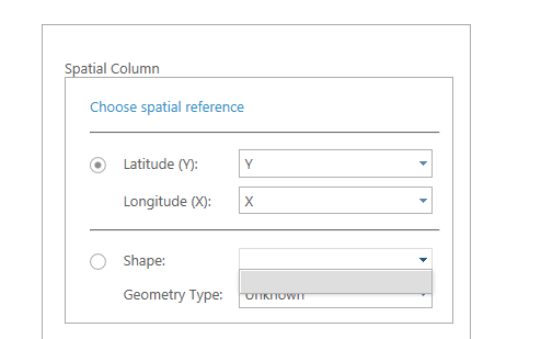
I'm totally lost now!  I'm trying to display polygon in Esri maps for SharePoint. What I have now is X and Y values.