- Home
- :
- All Communities
- :
- Products
- :
- ArcGIS Collector
- :
- ArcGIS Collector Questions
- :
- Re: How can we record accuracies at 95% confidence...
- Subscribe to RSS Feed
- Mark Topic as New
- Mark Topic as Read
- Float this Topic for Current User
- Bookmark
- Subscribe
- Mute
- Printer Friendly Page
How can we record accuracies at 95% confidence when using high-accuracy GPS and collector?
- Mark as New
- Bookmark
- Subscribe
- Mute
- Subscribe to RSS Feed
- Permalink
All documentation we have found states that recorded accuracies in GNSS metadata are at 63-68% confidence for horizontal accuracy and 68% confidence for vertical accuracy.
Solved! Go to Solution.
Accepted Solutions
- Mark as New
- Bookmark
- Subscribe
- Mute
- Subscribe to RSS Feed
- Permalink
Here is how it is calculated. It is shown at the doc Jean-Yves points out.
Horizontal accuracy:
Accuracyr = 1.7308 * RMSEr
Vertical accuracy:
Accuracyz = 1.9600 *RMSEz
- Mark as New
- Bookmark
- Subscribe
- Mute
- Subscribe to RSS Feed
- Permalink
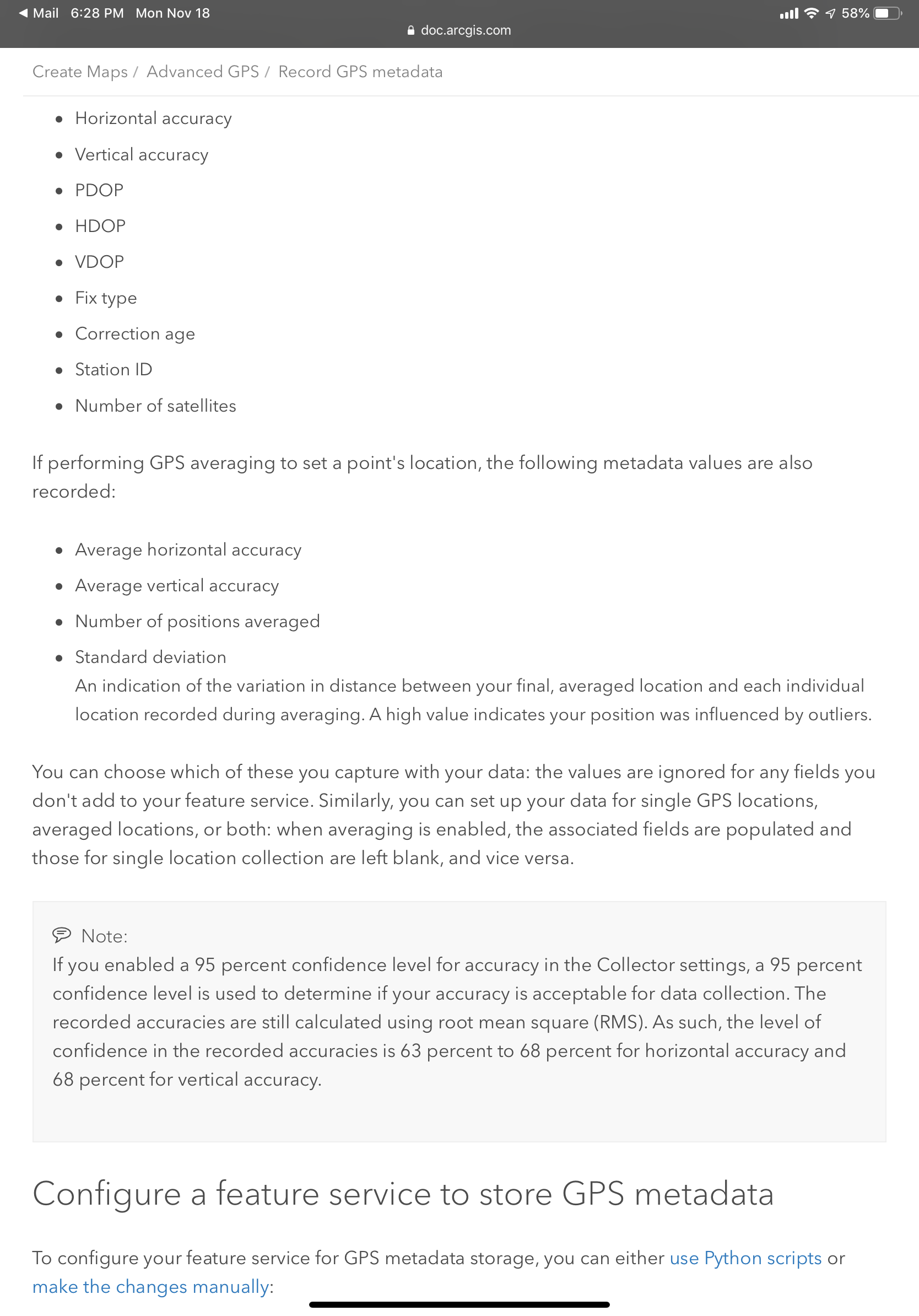
This is correct. GNSS receivers usually output estimated accuracies in rms. If you need 95% confidence, the best is to enable the 95% confidence level in Collector in the settings. This won’t give you exactly what you are looking for, but at least you will be recording with 95% confidence but with rms values saved.
Record GPS metadata—Collector for ArcGIS (Classic) | ArcGIS
See the note below...
Good luck.
- Mark as New
- Bookmark
- Subscribe
- Mute
- Subscribe to RSS Feed
- Permalink
Any ideas on what collector does when 95% confidence is enabled?
I assume a calculation is performed using the rms values provide by the GPS receiver that allows collector to determine the accuracy at the 95% confidence level.
Perhaps we can recreate that expression in a field calculation to report the 95% confidence values in the feature attributes along with the rms values already supported?
- Mark as New
- Bookmark
- Subscribe
- Mute
- Subscribe to RSS Feed
- Permalink
David,
this might help you: https://www.fgdc.gov/standards/projects/FGDC-standards-projects/accuracy/part3/chapter3
JY
- Mark as New
- Bookmark
- Subscribe
- Mute
- Subscribe to RSS Feed
- Permalink
Here is how it is calculated. It is shown at the doc Jean-Yves points out.
Horizontal accuracy:
Accuracyr = 1.7308 * RMSEr
Vertical accuracy:
Accuracyz = 1.9600 *RMSEz