- Home
- :
- All Communities
- :
- Products
- :
- ArcGIS Collector
- :
- ArcGIS Collector Ideas
- :
- Bring back location tracking in Collector
- Subscribe to RSS Feed
- Mark as New
- Mark as Read
- Bookmark
- Follow this Idea
- Printer Friendly Page
Bring back location tracking in Collector
- Mark as New
- Bookmark
- Subscribe
- Mute
- Subscribe to RSS Feed
- Permalink
The new collector (Aurora) no longer supports location tracking. ESRI has promised a new app with better tracking. In the mean time we are using Workforce in the background, but it only works when connected.
The new functionality might be super but all my users are asking to see just their own breadcrumbs in Collector, not everyone else's, like they used to be able to do in ArcGIS Mobile for Windows.
In that app the breadcrumbs were visible to the user but were only synced up, never down from the server to the local map. It actually worked out really nicely for everyone.
- « Previous
-
- 1
- 2
- 3
- 4
- 5
- Next »
Charging extra for tracker is total BS. We are long time Esri users on on a ELA. We were using tracking in ArcCollector just fine up to the new version which doesn't support it anymore. Tracker has not automatically been included in our ELA so we have to wait to negotiate it the next time we renew or purchase outside the ELA? What is the point of an ELA when working functionality is replaced with something that is not included.
Same thing happened with ArcGIS Monitor except it's pricing is hugely out of whack. It's a great product but most of us GIS types just want to monitor our services with it and not use it as a network monitoring solution which it is priced as. Esri has increased the complexity of the servers with portal and have taken away the piece to monitor it with. So frustrating.
I share the frustrations about removing the location tracking functionality in Collector, and have kept our team with Classic for this reason. Why can't Collector (new) support location tracking for us folk who need it for simple uses and can't swing the licensing, but also support integration with Tracker for ArcGIS for those that can? Over-simplified question for a complex problem I'm sure but many share my concerns. I'd love to move us to the new Collector, there are really excellent features and improvements other than taking away location tracking... if this is the way it's going to be with Tracker I may need to find a workaround.
I totally agree. We were using tracking layers for several apps only to have to apologize to staff that they no longer work. Worse still what is supposed to be replaced with doesn't really exist outside of demos at conferences. On top of that we are on an ELA so have to purchase tracker up until the end of our ELA and then negotiate to have it included in the renewal. It is great that Esri has ELAs but what is the point if they randomly remove functionality and them make you pay for a re-imagined version of what we just lost. I would be happy to pay for something new that I need but in this case what was offered worked for us and now we are being asked to pay for functionality we don't need and complexity we don't want (if we use the enterprise version portal/data store/track viewer). We had a simple workflow: tracks are created as a tracking layer in AGOL daily and them imported each night in to our geodatabase. Yearly tracks are removed from AGOL. Very simple, users only need to use one app.
Is there any documentation comparing functionality, restrictions, costs and data model of Tracker for AGOL vs Tracker for Portal? We have several questions about how to export the tracks to our current geodatabase layer and how easy it is to truncate the tracks from AGOL or Portal periodically.
The way the tracking layer was removed and tracker was released was very poorly executed.
Our workflow is slightly modified, in that we are moving features from the ESRI tracker service (AGOL feature service) to another AGOL feature service based upon datetime values. Basically, we just look at the last datetime a feature was added into our destination hosted FS and then use that datetime value to query the tracker service. The query results are just pushed into the destination FS. From there we are using a modified version of this tool https://community.esri.com/groups/survey123/blog/2016/12/14/migrating-data-from-the-survey-feature-s... to bring the features back down locally for backup and other use.
It's all done with Python scripting running on a Windows box and executed via Task Scheduler.
We do apply an additional spatial component to the query against the original tracker service too, essentially we only want points found within designated areas (these are just another hosted feature service of polygons). It's not necessary if you want all of the tracker features though of course.
Not all of us are python/coding experts though. We do rely on the out of the box features to just work. I think the point of many here is that we shouldn't have to resort to python workarounds and pulling from one layer to another layer, etc. Most of us don't have fancy enterprise setups and have python coders on call. We just want to enable breadcrumbs on a map that people have open in an app. It's not that outlandish of a request.
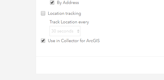
I am setting up a map to use with Location Tracking/Collector Classic and have noticed two big problems.
1. When I create the layer with the ESRI Location Tracking template, only Accuracy records. This is what the popup looks like when I go to the visualization tab right after creating the Location Tracking layer: 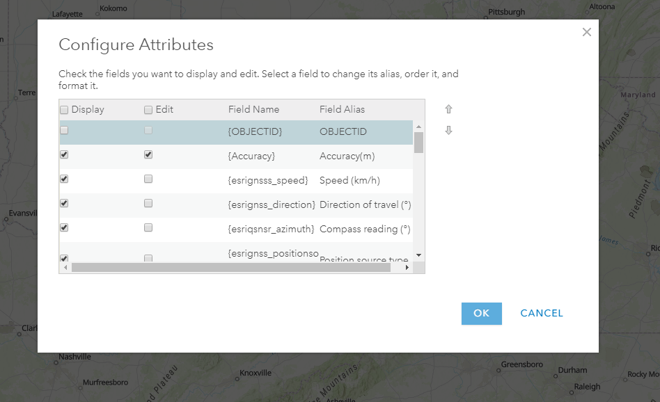
If I check those fields as editable, they still do not automatically record in my Collector Classic map (just Accuracy).
2. Every time I save my webmap containing the location tracking layer, the location tracking settings become un-checked so that I have to re-enable it EVERY TIME I save the webmap.
What's the deal ESRI? I made a separate issue about this: https://community.esri.com/message/902637-location-tracking-template-layer-not-working
So now I have the option of adding tracker to non-field worker roles? Very helpful. Does this change make the analyst role cheaper since I don't need to track their movement between the coffee and their desk?
"New from ESRI, Grapher for Operations Dashboard. Graph all of your data in Ops Dashboard, pie-charts, bar graphs, line charts, all for just an additional $100 per user/year."
We've heard your feedback and are pleased to announce that the new Field Maps app will support tracking in addition to the typical collection workflows supported by Collector. For more information about this new app, please see this blog post.
We are currently bringing the key tracking capabilities from Tracker into Field Maps. At this time we are planning to do this in a two phases:
- Field worker controlled tracking. Allow the field worker to toggle on/off their tracking status, similar to how Tracker works today. This is currently planned to be released in September 2020.
- Map-based tracking. Allow the map author to require tracking when a field worker is using a specific map (similar to how Collector Classic and Workforce do tracking) . There is no release date at this time for this capability.
There are other related tracking initiatives that may be considered in the future:
- Schedule-based tracking. Allow the field worker or potentially a supervisor to define a schedule for when the field worker is tracked.
- Geofence-based tracking. Allow the map author to define areas where tracking is required and the app will automatically start or stop tracking when the field worker enters or exists an area.
I know we've chatted with many of you before, but if you have specific questions, concerns, or requirements please post on this thread or email us directly.
You must be a registered user to add a comment. If you've already registered, sign in. Otherwise, register and sign in.