- Home
- :
- All Communities
- :
- Products
- :
- ArcGIS CityEngine
- :
- ArcGIS CityEngine Questions
- :
- How to size a shape based on world location?
- Subscribe to RSS Feed
- Mark Topic as New
- Mark Topic as Read
- Float this Topic for Current User
- Bookmark
- Subscribe
- Mute
- Printer Friendly Page
How to size a shape based on world location?
- Mark as New
- Bookmark
- Subscribe
- Mute
- Subscribe to RSS Feed
- Permalink
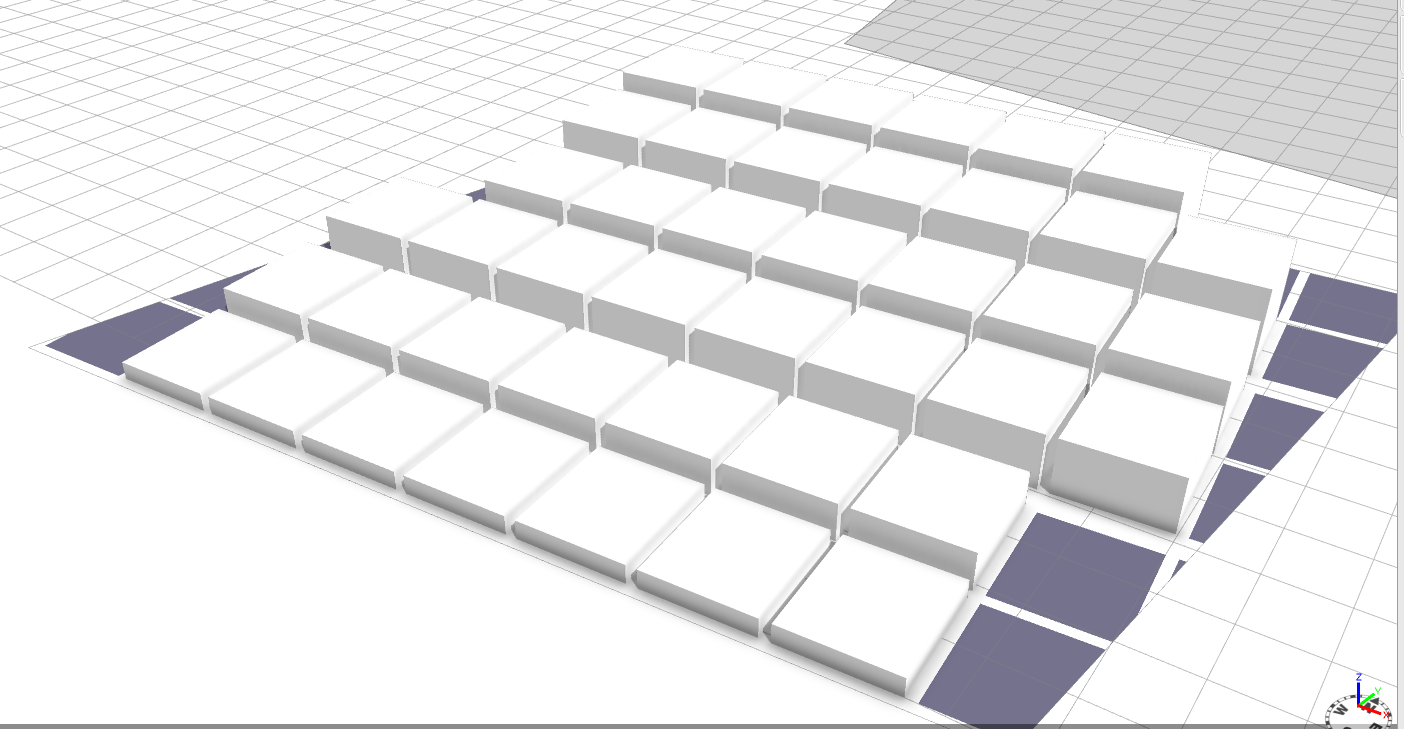
Maybe you could use the split.index, like so:
@StartRule
Lot -->
alignScopeToAxes(y)
split (x){10: Spli}*
Spli -->
extrude(split.index)- Mark as New
- Bookmark
- Subscribe
- Mute
- Subscribe to RSS Feed
- Permalink
That is brilliant. Thank you!
- Mark as New
- Bookmark
- Subscribe
- Mute
- Subscribe to RSS Feed
- Permalink
If you need to know the positions of the buildings relative to the world, you could also convert scope coordinates to world coordinates using convert() (but using split.index is easier).
- Mark as New
- Bookmark
- Subscribe
- Mute
- Subscribe to RSS Feed
- Permalink
The next step is for the height of the buildings to respond to the sun location. For example,
I want the buildings along the southern edge of the lot to be low, and the neighboring ones
progressively taller. I haven't figured out how to get the heights of neighboring buildings, so I am
using the python export to get building locations and calculating the height using python.
Unfortunately, with Jython, I cannot import modules like "numpy" so it's becoming a bit
of kluge, doing a system call to a python script from within Cityengine's jython.
I feel I am approaching this problem the wrong way. Suggestions?
- Mark as New
- Bookmark
- Subscribe
- Mute
- Subscribe to RSS Feed
- Permalink
Knowledge about neighboring shapes in CityEngine is really difficult and limited. It's currently limited to the occlusion queries in CGA. If you figure out a way to do it with Python, it's probably the only way to do it.
- Mark as New
- Bookmark
- Subscribe
- Mute
- Subscribe to RSS Feed
- Permalink
Thanks for the information. Perhaps I can import the JTS geometry library into CityEngine to extend the jython functionality.
Update: Getting JTS into cityengine worked, using this article pyright: jython + the JTS geometry library. Note I had to be
careful with the coordinate system: CityEngine -z is JTS y.