- Home
- :
- All Communities
- :
- Products
- :
- ArcGIS CityEngine
- :
- ArcGIS CityEngine Questions
- :
- Re: Building footprint from raster
- Subscribe to RSS Feed
- Mark Topic as New
- Mark Topic as Read
- Float this Topic for Current User
- Bookmark
- Subscribe
- Mute
- Printer Friendly Page
Building footprint from raster
- Mark as New
- Bookmark
- Subscribe
- Mute
- Subscribe to RSS Feed
- Permalink
I would like to create the building footprint (as polygons) from the raster (I obtained it from LAS files), but somehow mosaic tool doesn't work - I guess I do something wrong, could anyone suggest me another approach, or what I do wrong? I would really appreciate it.
I can see the shape of the buildings with different height but can't get the polygons out of it that will be as the rooftops shape.
- Mark as New
- Bookmark
- Subscribe
- Mute
- Subscribe to RSS Feed
- Permalink
You used this ? Build Footprints—Help | ArcGIS for Desktop or one of the other tools in that toolset?
- Mark as New
- Bookmark
- Subscribe
- Mute
- Subscribe to RSS Feed
- Permalink
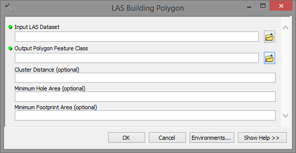
I'm getting the idea that we are mixing some things up. To extract building footprints you don't need to create a mosaic dataset of the raster(s) based on your LAS datas. There is a tool in the 3D Sample Tools:
https://www.arcgis.com/home/item.html?id=fe221371b77940749ff96e90f2de3d10
... but it works on the original LAS dataset. It is defined for extracting polygons representing the building footprints of LAS data.

The Build Footprints tool will generate polygons for each raster in a mosaic dataset that contains data.