- Home
- :
- All Communities
- :
- Developers
- :
- ArcGIS API for Python
- :
- ArcGIS API for Python Questions
- :
- Open ArcGIS published TIF file and transform
- Subscribe to RSS Feed
- Mark Topic as New
- Mark Topic as Read
- Float this Topic for Current User
- Bookmark
- Subscribe
- Mute
- Printer Friendly Page
Open ArcGIS published TIF file and transform
- Mark as New
- Bookmark
- Subscribe
- Mute
- Subscribe to RSS Feed
- Permalink
Hello,
I recently downloaded a dataset from a Chinese geodata site (Global Change Research Data Publishing & Repository )
The published data is in the for of a .TIF raster file with some metadata:
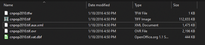
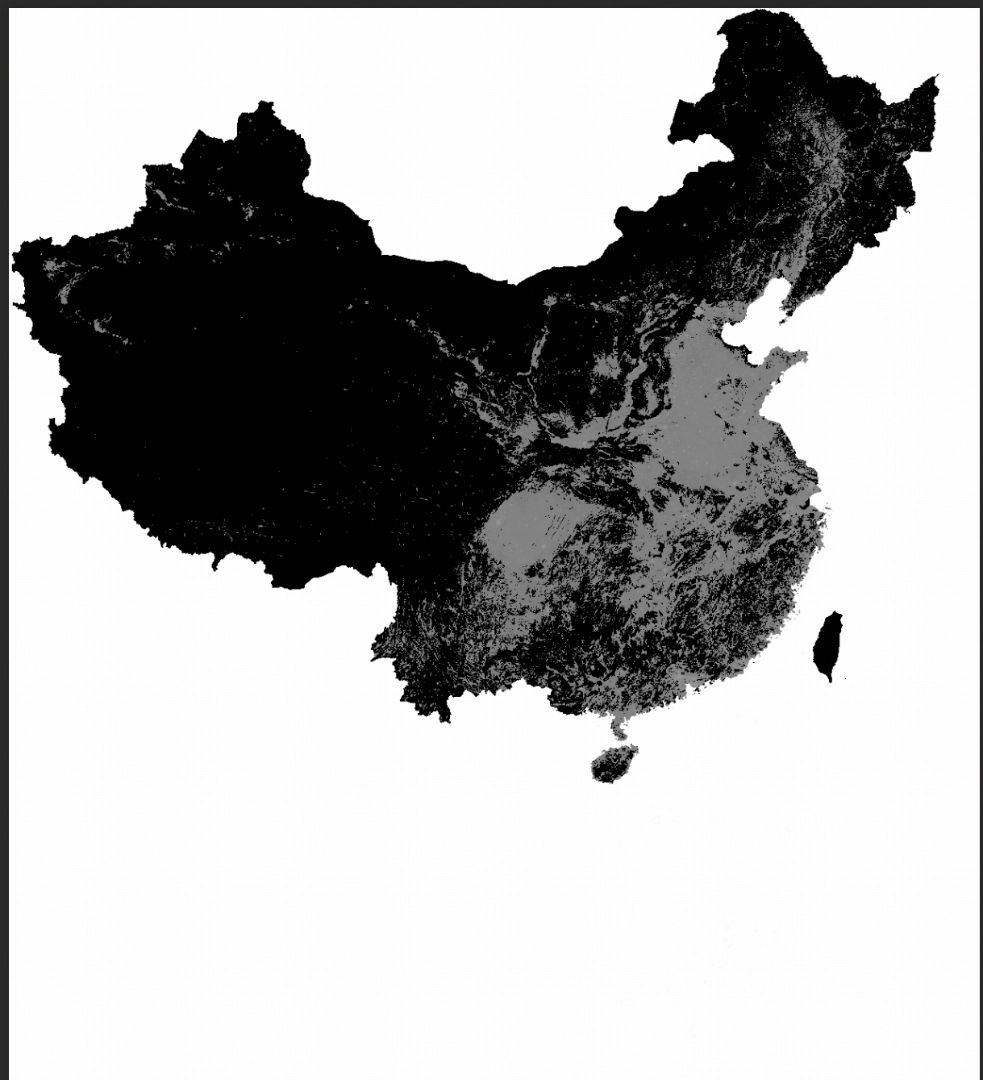
The data looks something like this (Population density per KM)
Apparently this dataset was published in ArcGIS which I found a reference to in XXX.tif.aux.xml. The rest of the metadata files were encoded and are probably only readable from ArcGIS.
Is it possible to load this data using the Python API and transform it to another co-ordinate space? Ideally, I would like to transform it to the WSG-84 Space and and do some calculations using some other province/border shaperfile data.
- Mark as New
- Bookmark
- Subscribe
- Mute
- Subscribe to RSS Feed
- Permalink
Hi. I solved this problem, there are some python libraries which are able to transform the data, I thought the GeoTIF spec was encoded, turns out it isn't
About the Geotiff (.tif) Raster File Format: Raster Data in Python | Earth Data Science - Earth Lab