- Home
- :
- All Communities
- :
- Products
- :
- ArcGIS Online
- :
- ArcGIS Online Ideas
- :
- Fix Labeling Limitations for Vector Tiles
- Subscribe to RSS Feed
- Mark as New
- Mark as Read
- Bookmark
- Follow this Idea
- Printer Friendly Page
Fix Labeling Limitations for Vector Tiles
- Mark as New
- Bookmark
- Subscribe
- Mute
- Subscribe to RSS Feed
- Permalink
Currently vbnewline or other similar label formatting options (Javascript or Python) for breaking labels over multiple lines is not supported in ArcGIS Online when creating vector tiles. This functionality is very basic cartography and has been supported for many years in the desktop world. At the very least, these sorts of shortfalls should have validation rules that let the user know this is not an option before publishing.
- « Previous
-
- 1
- 2
- 3
- 4
- Next »
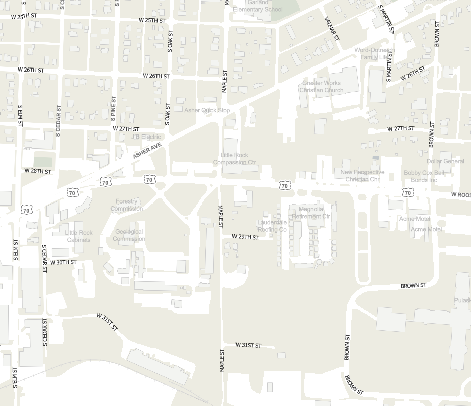
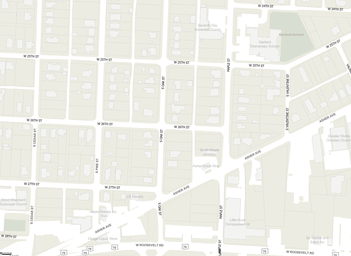
Yes I am just getting into vector tiles and spent a couple days designing my street reference map for image overlays. Running into big problems with street centered labels not drawing at all at medium scales like 144K, 72K, 36K. Could use some help!
Hi David
Have you had any success/feedback since posting? I am experiencing the same issue and it's hugely limiting.
There's a property in the style JSON called text-max-width that sets the number of characters allowed before line wrapping. Try setting that to a small number like 2 or 3 and your labels should wrap at spaces (most of the time).
@David Coley: check the text-optional setting, and/or the text-ignore-placement setting (both allow collisions).
I've spent the last few months getting a vector tile basemap in shape, and what comes out of Pro is not ready for primetime. You really need to tinker with the JSON to get it looking right.
Thanks Kate for the json settings direction, I was beginning to suspect as much. Yes clearly what comes out of Pro is not what you get. We're also not using Portal at the moment and that's probably limiting as well (i.e AGOL is our portal until we go to 10.5).
In the meantime, I'm getting large areas that will not render on clients at all when panning / zooming and I'm guessing that's the labelling conflicts.
pdossantos no I haven't. I'll look into working on my styles' json and see what I can do
David Coley one other thing to look at is the text size. I noticed that the text sizes in my vector tile layer ended up 1/3 larger than they were set in Pro (e.g., text that is 9 in Pro is 12 in the JSON). This larger size causes a lot more collisions, as you might expect. Once I set them back to the size I wanted (in the JSON), many more labels were displayed.
I'm using a custom tiling scheme, so if you're not seeing this issue, let me know. I'm curious whether it might have something to do with my tiling scheme.
FWIW, I'm also using AGOL not Portal.
Hey thanks again Kate, I can see exactly what you mention excepting the 'text-ignore-placement setting. I only have a 'text-optional' boolean setting. But it turns out that I can't do anything with the style file. For whatever reason, I don't have the option to download regardless if I share as weblayer or push up as a tile package. Strange - could be that our concurrent licencing option we set for Pro instead of the named user might be the culprit.
But at least I found out why tiles aren't rendering: Fiddler indicates 404 not found from tiles.arcgis.com so it looks like I'm in for a tech support session. I was really hoping to avoid that.
Odd that you can't view or download the style file. Have you made a copy of the layer first? (see here)
You can add any properties detailed in the Mapbox style spec to your style JSON, even if they aren't there to begin with. I have that document in front of me and refer to it constantly.
Oh thanks I was going crazy. Why does esri make you make a copy of your own hosted layer? Anyway yeah that was it, I can get at the style now. And thanks for the mapbox clue, I wasn't sure how to employ. Sadly I'm still getting alot of 404 tile not found errors on my tiles in the webmap, I'll have to see what support can do. Thanks again for your help.
My use case is slightly different in that I need to modify the vtpk without publishing. It is being used as a basemap in Navigator for ArcGIS.
Unfortunately, if I open the vtpk with WinRar or 7zip and edit the file, when I reload the vtpk into ArcGIS Pro it now appears broken.
I have tried using the Extract Package tool - however, there is no 'repackage' tool... So I can't end up with a working vtpk with changes implemented.
I'm building a new GIS server on 10.5 & I have been pounding my head against the wall trying to get a basemap cache to work. After failing to get my a standard non-vector tile cache to work with pro (none of the road labels, among others, appear in the tiles) I went to vector tiles. I get all the labels, but not the configured styles. The worst part is some/most of the roads labels are repeating (i.e., labeling every feature). Also some layers that I've set to only label inside polygons aren't working. I changed from maplex to the standard label engine and no change.
This is very unfortunate, because Vector tiles seem so awesome. I'm near 100% sold if the labeling can be worked out...and we could configure our own tiling scheme like in ArcMap.


You must be a registered user to add a comment. If you've already registered, sign in. Otherwise, register and sign in.