- Home
- :
- All Communities
- :
- Products
- :
- ArcGIS Urban
- :
- ArcGIS Urban Questions
- :
- ArcGIS Urban Extended Capabilities
- Subscribe to RSS Feed
- Mark Topic as New
- Mark Topic as Read
- Float this Topic for Current User
- Bookmark
- Subscribe
- Mute
- Printer Friendly Page
- Mark as New
- Bookmark
- Subscribe
- Mute
- Subscribe to RSS Feed
- Permalink
- Report Inappropriate Content
Hello,
I was just wondering if there is a plan to extend ArcGIS Urban capabilities to handle multiple inputs for 3D Base Layers?
For instance, if there are multiple sources of existing buildings (for your city), it would be fantastic to have the capability to have multiple inputs. Thus far I can't determine a non time exhausting exercise to merge multiple existing Scene Layers (maybe there is a workflow I am not thinking of/missing)?
Any comments would be appreciated and helpful!
Thank you!
Solved! Go to Solution.
Accepted Solutions
- Mark as New
- Bookmark
- Subscribe
- Mute
- Subscribe to RSS Feed
- Permalink
- Report Inappropriate Content
Hi Brian Lee,
Thank you for your question.
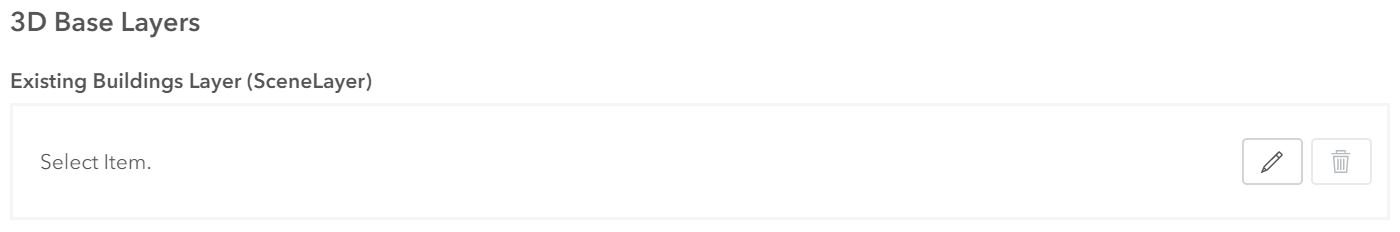
It is actually planned that users will have the possibility to define two different existing buildings layers:
- One that is shown with the schematic view.
- One that is shown with the satellite view.
This functionality is planned to be introduced with the upcoming version of Urban 2.0 - scheduled to be released around mid-June 2020.
Other than that you always have the possibility (already with the current 1.1 version of Urban) to bring additional external data to your Urban Model's Overview. You can assemble the layers that you want to have available in Urban in a new web scene and point to that web scene in the "Custom base layers" section of the ArcGIS Urban data manager. The individual layers of that web scene can then be turned on/off via the hamburger menu (the three horizontal lines in the top left corner of the screen) in the Urban Overview. However, "Custom base layers" content can not be masked out in Urban as compared to the existing buildings and existing trees layers.
Hope this helps 🙂
Thanks,
Dominik
- Mark as New
- Bookmark
- Subscribe
- Mute
- Subscribe to RSS Feed
- Permalink
- Report Inappropriate Content
Hi Brian Lee,
Thank you for your question.
It is actually planned that users will have the possibility to define two different existing buildings layers:
- One that is shown with the schematic view.
- One that is shown with the satellite view.
This functionality is planned to be introduced with the upcoming version of Urban 2.0 - scheduled to be released around mid-June 2020.
Other than that you always have the possibility (already with the current 1.1 version of Urban) to bring additional external data to your Urban Model's Overview. You can assemble the layers that you want to have available in Urban in a new web scene and point to that web scene in the "Custom base layers" section of the ArcGIS Urban data manager. The individual layers of that web scene can then be turned on/off via the hamburger menu (the three horizontal lines in the top left corner of the screen) in the Urban Overview. However, "Custom base layers" content can not be masked out in Urban as compared to the existing buildings and existing trees layers.
Hope this helps 🙂
Thanks,
Dominik
- Mark as New
- Bookmark
- Subscribe
- Mute
- Subscribe to RSS Feed
- Permalink
- Report Inappropriate Content
Hello!
Thanks very much for the information! It does help ☺
Looking forward to the latest release!
Brian