- Home
- :
- All Communities
- :
- Products
- :
- ArcGIS Pro
- :
- ArcGIS Pro Questions
- :
- Displaying a raster in a 3D local scene in ArcGIS...
- Subscribe to RSS Feed
- Mark Topic as New
- Mark Topic as Read
- Float this Topic for Current User
- Bookmark
- Subscribe
- Mute
- Printer Friendly Page
Displaying a raster in a 3D local scene in ArcGIS PRO
- Mark as New
- Bookmark
- Subscribe
- Mute
- Subscribe to RSS Feed
- Permalink
- Report Inappropriate Content

- Mark as New
- Bookmark
- Subscribe
- Mute
- Subscribe to RSS Feed
- Permalink
- Report Inappropriate Content
Hi Husham,
Rather than clicking and dragging the elevation raster in the 3D section, in ArcGIS Pro, we can define it as an elevation surface. Here's the documentation on that:
- Mark as New
- Bookmark
- Subscribe
- Mute
- Subscribe to RSS Feed
- Permalink
- Report Inappropriate Content
Hi Lauren Dreyfuss,
What is the workflow to simultaneously view multiple surface rasters in 3D In the scene view in ArcGIS Pro?
Say we have 2 or 3 different surface datasets and we want to compare them?
Thanks,
Marc
- Mark as New
- Bookmark
- Subscribe
- Mute
- Subscribe to RSS Feed
- Permalink
- Report Inappropriate Content
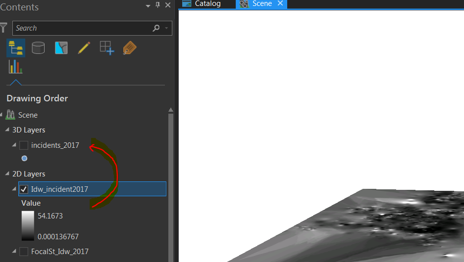
Following here. We have subsurface rasters that we need to drop below surface. However, all rasters are displayed under 2D layers and not a clue anywhere why we can't make them into 3D. We don't need to make elevation surfaces out of them because they are not surfaces. But we do want to display them with all 3D elevations as per values embedded in the pixels.
- Mark as New
- Bookmark
- Subscribe
- Mute
- Subscribe to RSS Feed
- Permalink
- Report Inappropriate Content
I know this is from a while ago, but did you ever find a solution to this issue? We're trying to do the same thing and haven't had much luck.
- Mark as New
- Bookmark
- Subscribe
- Mute
- Subscribe to RSS Feed
- Permalink
- Report Inappropriate Content
following this question. when i click "Layer -> Add Data -> Elevation Source Layer" and navigate to the folder containing my raster dataset, it says "This container is empty" and the dataset isn't available.
- Mark as New
- Bookmark
- Subscribe
- Mute
- Subscribe to RSS Feed
- Permalink
- Report Inappropriate Content
Was this ever solved? I also have a raster that I want to look at in 3d space. Its not meant to replace the land surface, its below the land surface, so i want to be able to see it at the same time as the land surface.
Its pretty frustrating that ESRI has taken what used to be a simple process and made it so cryptic that they can't seem to answer basic questions about it clearly.
- Mark as New
- Bookmark
- Subscribe
- Mute
- Subscribe to RSS Feed
- Permalink
- Report Inappropriate Content
Hey Aaron, check out this post.