Turn on suggestions
Auto-suggest helps you quickly narrow down your search results by suggesting possible matches as you type.
Cancel
- Home
- :
- All Communities
- :
- Developers
- :
- JavaScript Maps SDK
- :
- JavaScript Maps SDK Questions
- :
- Coordinate grid in JS
Options
- Subscribe to RSS Feed
- Mark Topic as New
- Mark Topic as Read
- Float this Topic for Current User
- Bookmark
- Subscribe
- Mute
- Printer Friendly Page
Coordinate grid in JS
Subscribe
1244
2
11-16-2016 06:30 AM
11-16-2016
06:30 AM
- Mark as New
- Bookmark
- Subscribe
- Mute
- Subscribe to RSS Feed
- Permalink
Hello all
We would like to have a coordinate grid with the coordinate's values next to the map edges (something like the grids in ArcMap layouts).
Is there any simple way (or code sample) to do it in JavaScript?
Thanks
2 Replies
11-16-2016
06:44 AM
- Mark as New
- Bookmark
- Subscribe
- Mute
- Subscribe to RSS Feed
- Permalink
Could you be more specific. what kind of coordinates do you wish to see? Map extent or current mouse-locations or map clicks?
11-16-2016
09:53 PM
- Mark as New
- Bookmark
- Subscribe
- Mute
- Subscribe to RSS Feed
- Permalink
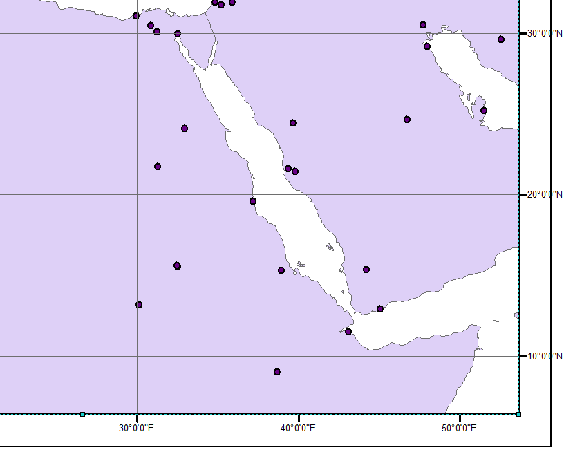
Something like this but the numbers can be on the image itself