- Home
- :
- All Communities
- :
- Developers
- :
- Python
- :
- Python Questions
- :
- Problem in Creating Envelope Polygon using Python
- Subscribe to RSS Feed
- Mark Topic as New
- Mark Topic as Read
- Float this Topic for Current User
- Bookmark
- Subscribe
- Mute
- Printer Friendly Page
Problem in Creating Envelope Polygon using Python
- Mark as New
- Bookmark
- Subscribe
- Mute
- Subscribe to RSS Feed
- Permalink
I need a script that makes an envelope polygon feature class for the Hawaii.shp (Multi-part polygon) feature class. There is actually a tool that accomplishes this called Minimum Bounding Geometry. But i have to do it using python script which directly deals with the geometry properties. how can i do it, i have tried it without using any geometry property, but facing problem doing it though Geometry , Shape file is attached.
env.workspace = r"D:\Python Exercise\Exercise08-2014-12-05\Exercise08"
inFeatures = "Hawaii.shp"
outFeatureClass = "Hawaii_Profile.shp"
arcpy.MinimumBoundingGeometry_management(inFeatures, outFeatureClass, "ENVELOPE", "NONE")
Solved! Go to Solution.
Accepted Solutions
- Mark as New
- Bookmark
- Subscribe
- Mute
- Subscribe to RSS Feed
- Permalink
At the risk of doing your homework for you (you're only hurting yourself, but I figure the assignment must be in by now), here's the answer:
>>> with arcpy.da.SearchCursor("Hawaii","SHAPE@") as cursor:
...    for row in cursor:
...        print row[0].extent
...        polygon = [arcpy.Polygon(arcpy.Array([arcpy.Point(row[0].extent.XMin,row[0].extent.YMin),arcpy.Point(row[0].extent.XMax, row[0].extent.YMin),arcpy.Point(row[0].extent.XMax,row[0].extent.YMax),arcpy.Point(row[0].extent.XMin,row[0].extent.YMax)]))]
...
372236.642923135 2094769.12137791 941120.12366655 2458884.21017432 NaN NaN NaN NaN
>>> arcpy.CopyFeatures_management(polygon,'in_memory\extent')
<Result 'in_memory\\extent'>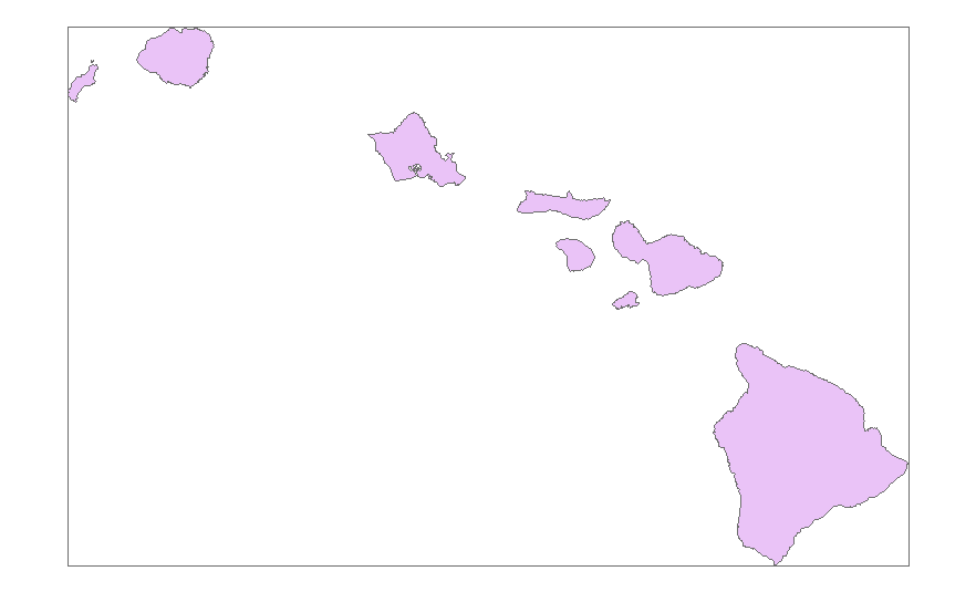
- Mark as New
- Bookmark
- Subscribe
- Mute
- Subscribe to RSS Feed
- Permalink
I will refer you to arcpy's Polygon class for the required inputs.... extent .... should provide the clues
- Mark as New
- Bookmark
- Subscribe
- Mute
- Subscribe to RSS Feed
- Permalink
Do you need the extent of every geometry? or the whole feature class?
- Mark as New
- Bookmark
- Subscribe
- Mute
- Subscribe to RSS Feed
- Permalink
whole feature class
- Mark as New
- Bookmark
- Subscribe
- Mute
- Subscribe to RSS Feed
- Permalink
At the risk of doing your homework for you (you're only hurting yourself, but I figure the assignment must be in by now), here's the answer:
>>> with arcpy.da.SearchCursor("Hawaii","SHAPE@") as cursor:
...    for row in cursor:
...        print row[0].extent
...        polygon = [arcpy.Polygon(arcpy.Array([arcpy.Point(row[0].extent.XMin,row[0].extent.YMin),arcpy.Point(row[0].extent.XMax, row[0].extent.YMin),arcpy.Point(row[0].extent.XMax,row[0].extent.YMax),arcpy.Point(row[0].extent.XMin,row[0].extent.YMax)]))]
...
372236.642923135 2094769.12137791 941120.12366655 2458884.21017432 NaN NaN NaN NaN
>>> arcpy.CopyFeatures_management(polygon,'in_memory\extent')
<Result 'in_memory\\extent'>