Turn on suggestions
Auto-suggest helps you quickly narrow down your search results by suggesting possible matches as you type.
Cancel
- Home
- :
- All Communities
- :
- Products
- :
- ArcGIS CityEngine
- :
- ArcGIS CityEngine Questions
- :
- Terrain and texture visibility
Options
- Subscribe to RSS Feed
- Mark Topic as New
- Mark Topic as Read
- Float this Topic for Current User
- Bookmark
- Subscribe
- Mute
- Printer Friendly Page
08-01-2013
01:43 PM
- Mark as New
- Bookmark
- Subscribe
- Mute
- Subscribe to RSS Feed
- Permalink
- Report Inappropriate Content
Hi,
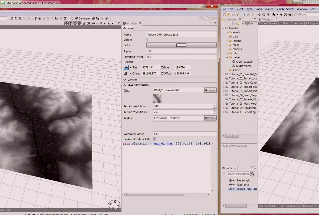
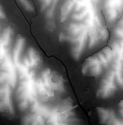
Having trouble with terrain textures. I'm using 8-bit imagery and finally got it to show up, but is there a way to make the texture more visible? It's an urban area with some green space but the height map seems to be obscuring the texture. Any ideas? I'm doing something not quite right.
Thanks!
Having trouble with terrain textures. I'm using 8-bit imagery and finally got it to show up, but is there a way to make the texture more visible? It's an urban area with some green space but the height map seems to be obscuring the texture. Any ideas? I'm doing something not quite right.
Thanks!
Solved! Go to Solution.
1 Solution
Accepted Solutions
08-05-2013
10:33 AM
- Mark as New
- Bookmark
- Subscribe
- Mute
- Subscribe to RSS Feed
- Permalink
- Report Inappropriate Content
Thanks for your help Matt. Yes, I used the projection created on export from the data frame so that wasn't an issue. Changing the resolution to something lower also helped but the trick that finally worked was leaving ALL the settings alone on import. I had been changing it to 'hue' first. Obviously not the thing to do! 🙂
7 Replies
08-02-2013
03:58 AM
- Mark as New
- Bookmark
- Subscribe
- Mute
- Subscribe to RSS Feed
- Permalink
- Report Inappropriate Content
hi,
did you see the tutorial videos already ?
note that a terrain has 1 slot for the DEM and 1 slot for the texture ( satellite pic ). It seems you have assigned the DEM to both slots.
ok ?
m.
did you see the tutorial videos already ?
note that a terrain has 1 slot for the DEM and 1 slot for the texture ( satellite pic ). It seems you have assigned the DEM to both slots.
ok ?
m.
08-02-2013
05:55 AM
- Mark as New
- Bookmark
- Subscribe
- Mute
- Subscribe to RSS Feed
- Permalink
- Report Inappropriate Content
Hi Matt,
I didn't watch the videos but worked through the tuts following the PDF instructions. The DTM is only assigned to the map. So I think there must be a problem with my imagery perhaps? It's in the correct projection and same extent as the DTM so I don't what elsse I'm missing.
Thanks,
Lisa
I didn't watch the videos but worked through the tuts following the PDF instructions. The DTM is only assigned to the map. So I think there must be a problem with my imagery perhaps? It's in the correct projection and same extent as the DTM so I don't what elsse I'm missing.
Thanks,
Lisa
08-02-2013
06:23 AM
- Mark as New
- Bookmark
- Subscribe
- Mute
- Subscribe to RSS Feed
- Permalink
- Report Inappropriate Content
hmm.
can you post the files ? [maybe in downsampled quality]
the resolutions are also below 4000x4000 pixels, right ?
matt
can you post the files ? [maybe in downsampled quality]
the resolutions are also below 4000x4000 pixels, right ?
matt
08-02-2013
06:56 AM
- Mark as New
- Bookmark
- Subscribe
- Mute
- Subscribe to RSS Feed
- Permalink
- Report Inappropriate Content
hmm.
can you post the files ? [maybe in downsampled quality]
the resolutions are also below 4000x4000 pixels, right ?
matt
Yes. I'm wondering if it would work using the CityEngine_Prep.tbx I saw in the video about integration with GIS data. Where would I find that tool?
Thanks!
08-05-2013
12:41 AM
- Mark as New
- Bookmark
- Subscribe
- Mute
- Subscribe to RSS Feed
- Permalink
- Report Inappropriate Content
Hi,
The toolbox relies on the Data Interoperability extension from Safe software.
But preparing those raster files should not be an issue and should not need that.
Do you use the projection metadata files ( .prj, .world, .. ) ?
Also, can it be that your satellite picture has an alpha channel ( transparency ), which would prevent it's display ?
Let me know..
Matt
08-05-2013
10:33 AM
- Mark as New
- Bookmark
- Subscribe
- Mute
- Subscribe to RSS Feed
- Permalink
- Report Inappropriate Content
Thanks for your help Matt. Yes, I used the projection created on export from the data frame so that wasn't an issue. Changing the resolution to something lower also helped but the trick that finally worked was leaving ALL the settings alone on import. I had been changing it to 'hue' first. Obviously not the thing to do! 🙂
08-06-2013
01:47 AM
- Mark as New
- Bookmark
- Subscribe
- Mute
- Subscribe to RSS Feed
- Permalink
- Report Inappropriate Content
yay ! *dancie*
glad it works now. 😮
glad it works now. 😮