- Home
- :
- All Communities
- :
- Industries
- :
- Water Resources
- :
- Water Resources Questions
- :
- Flow direction data error?
- Subscribe to RSS Feed
- Mark Topic as New
- Mark Topic as Read
- Float this Topic for Current User
- Bookmark
- Subscribe
- Mute
- Printer Friendly Page
Flow direction data error?
- Mark as New
- Bookmark
- Subscribe
- Mute
- Subscribe to RSS Feed
- Permalink
for a school group project we were given a pre processed DEM built from lidar point cloud.
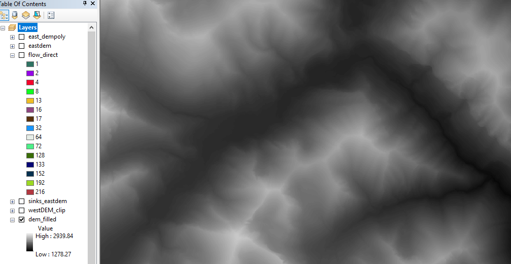
We have had tons of issues with the DEM (.tiff) due to the size of the file but have been able to run the tools by cutting out the required data and re-sampling call size to 5m.
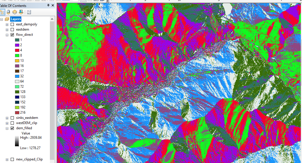
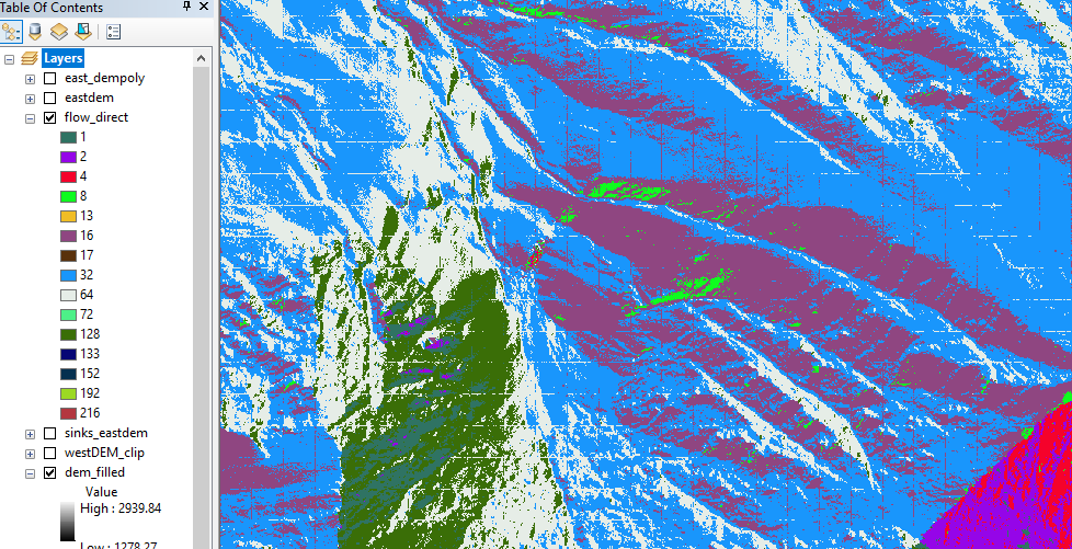
After running fill sinks and flow direction the data shows a uniform grid that was undetectable in the DEM and Slope calculations.
I am curious if anyone has dealt with this before, or have any idea if this could come from some rendering issues with the large data, or if there is some kind of error in the data.
(The project is research based. I'm not just looking for easy answers for a lab assignment)
Thanks!
- Mark as New
- Bookmark
- Subscribe
- Mute
- Subscribe to RSS Feed
- Permalink
In addition, you could load the data into a File Geodatabase. I have managed DTM's and DSM's derived from LiDAR data occupying more than 25GB in a FGDB and worked with them without a problem. You can also manage it as a mosaic dataset and apply raster functions which will speed up the process dramatically. Some more reading on this topic can be found here: https://community.esri.com/people/xander_bakker/blog/2016/07/18/using-mosaic-datasets-and-raster-cha...
- « Previous
-
- 1
- 2
- Next »
- « Previous
-
- 1
- 2
- Next »