- Home
- :
- All Communities
- :
- Industries
- :
- Transportation
- :
- Transportation Questions
- :
- Dynamic Segmentation Defining Routes GIS-T
- Subscribe to RSS Feed
- Mark Topic as New
- Mark Topic as Read
- Float this Topic for Current User
- Bookmark
- Subscribe
- Mute
- Printer Friendly Page
Dynamic Segmentation Defining Routes GIS-T
- Mark as New
- Bookmark
- Subscribe
- Mute
- Subscribe to RSS Feed
- Permalink
Hi Everyone,
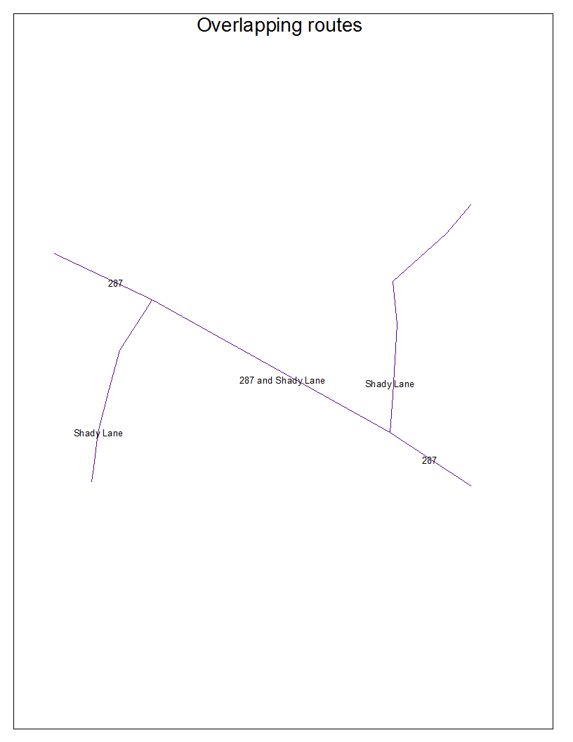
We are using dynamic segmentation for transportation data. Is it possible to define an arc segments to two different routes in ArcGIS? How do you store overlapping routes with Esri? If you have a bus route and, then a driving route how would you model that in GIS? I know you can have events on top of each other, but how do you store overlapping routes correctly in a database design approach? See image for an example of overlapping routes. In pure database design I would have three tables. The first table would store lines. The second table would store the route name. The third table would store line-route table. In this way one could store overlapping routes and have a third normal form database design. How do Esri geoprocessing tools work with an architecture like this? Specifically how would Overlay Route Events tool work with three tables? If Esri does not support this, then how do you correctly model overlapping routes?
