Turn on suggestions
Auto-suggest helps you quickly narrow down your search results by suggesting possible matches as you type.
Cancel
- Home
- :
- All Communities
- :
- Products
- :
- Spatial Data Science
- :
- Spatial Data Science Questions
- :
- Difficulty to create a polygon
Options
- Subscribe to RSS Feed
- Mark Topic as New
- Mark Topic as Read
- Float this Topic for Current User
- Bookmark
- Subscribe
- Mute
- Printer Friendly Page
Difficulty to create a polygon
Subscribe
5780
11
11-09-2015 11:13 AM
11-09-2015
11:13 AM
- Mark as New
- Bookmark
- Subscribe
- Mute
- Subscribe to RSS Feed
- Permalink
Hi,
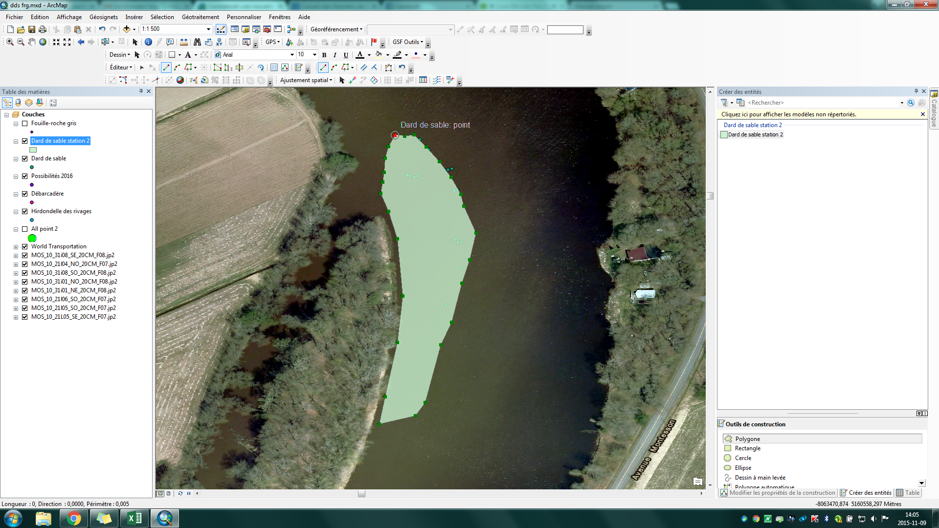
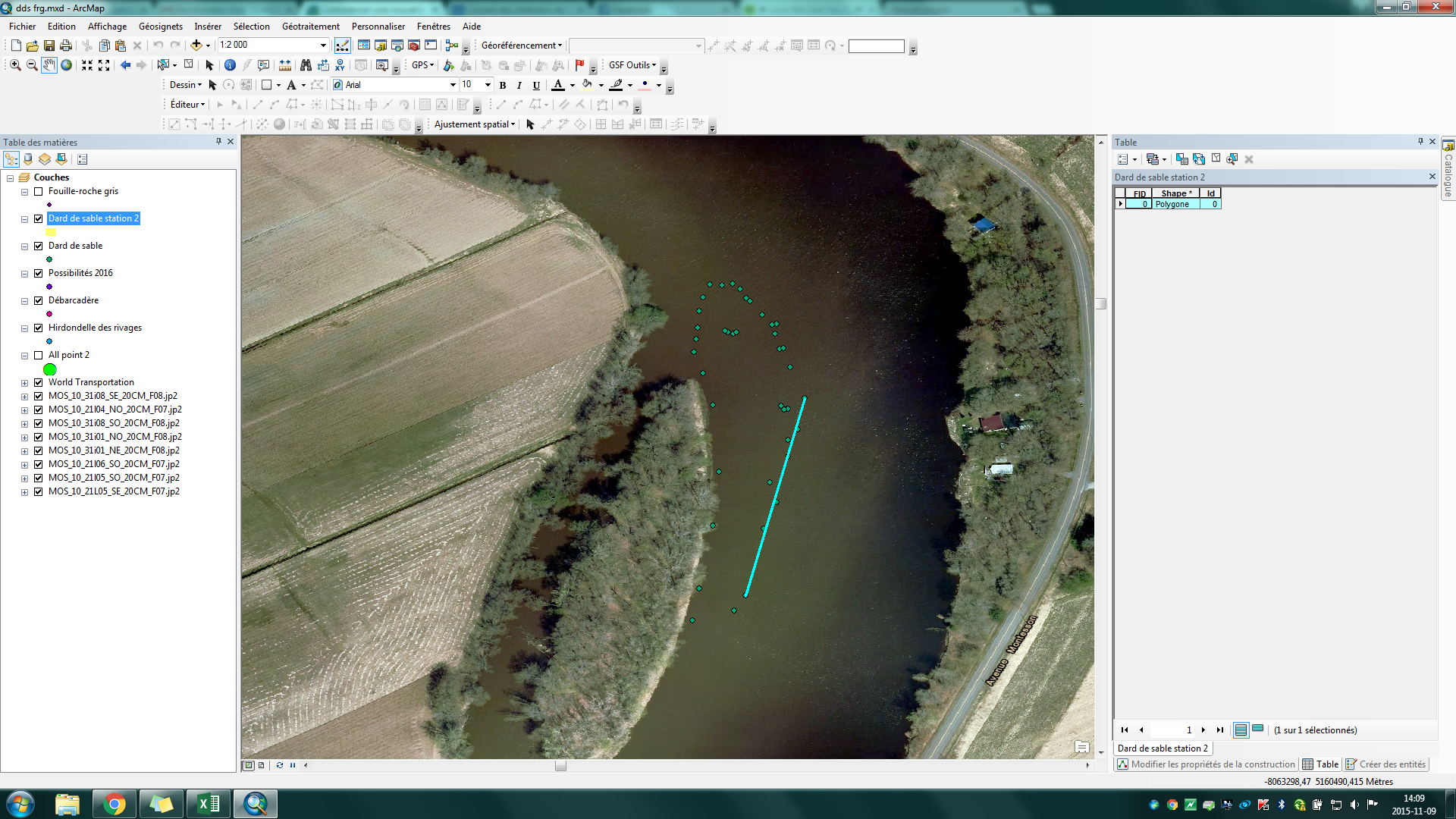
I'm trying to create a polygon base on GPS data on my map but when I finish and click on save it is totaly different it's like arcgis save only 2 points.
11 Replies
11-10-2015
07:16 AM
- Mark as New
- Bookmark
- Subscribe
- Mute
- Subscribe to RSS Feed
- Permalink
Ok I resolve the problem with all your answer! I give XY coordinate at my new shapefile before I create the polygon... Thank you all!
12-12-2015
02:23 PM
- Mark as New
- Bookmark
- Subscribe
- Mute
- Subscribe to RSS Feed
- Permalink
Another idea is to use the Draw toolbox and create a polygon there and when you are done and convert graphics to features as a polygon. I have not tried that but just the thought.
- « Previous
-
- 1
- 2
- Next »
- « Previous
-
- 1
- 2
- Next »