- Home
- :
- All Communities
- :
- Developers
- :
- Python
- :
- Python Questions
- :
- how to parse the raster name into a table in model...
- Subscribe to RSS Feed
- Mark Topic as New
- Mark Topic as Read
- Float this Topic for Current User
- Bookmark
- Subscribe
- Mute
- Printer Friendly Page
how to parse the raster name into a table in model builder or python
- Mark as New
- Bookmark
- Subscribe
- Mute
- Subscribe to RSS Feed
- Permalink
Hi!
I need help to finish a task.
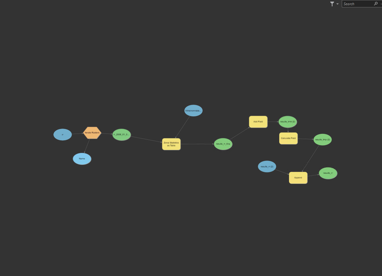
I am trying to use model builder to simplify a task with Zonal Statistics as Table. I have temperature and precipitation *. bil files in their folders. Problem with model builder is that I have to generate two toolboxes. One for temperature and one for precipitation. Now I am trying with temperature.
I am using the iterate rasters to read the rasters, but I wanted to use the Name to fill a new field that I want to create in the table created with the Zonal Statistics. But I don't manage to do it. I am using a polygon of municipalities as feature zone data and the rasters as Input value display.
Can somebody help me with tips? I will appreciate it. I would like to have a table like this. By now I am able to get a table by dataset (one for temperature (tm), one for precipitation (rr)), but no raster name yet and not a merge table either.
| raster_name | Municipality_number | Altitude | rr | tm | sd | sdfsw | fsw | swe |
I am attaching the model builder example also.
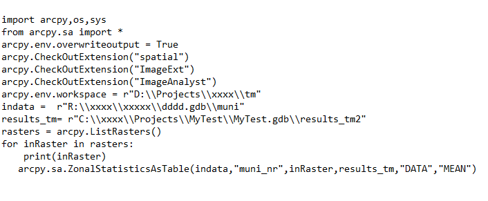
I was also trying some python, but I don't manage to add the name to the table either on Python. I was generating a listraster but I am new to python and do now how to add the rasters name in the table. Here is the python example also attached.
- Mark as New
- Bookmark
- Subscribe
- Mute
- Subscribe to RSS Feed
- Permalink
I've not really checked your script for errors but I guess it works (also if you want to share code in the future, add it as code formatted text - screenshots of code are awful to deal with)
If it works, you're creating a table in each for loop - so add a new field (TEXT) to the table Add Field (Data Management)—ArcGIS Pro | Documentation
then calculate field for all rows in the table (as you may have more than one zone I guess) - Calculate Field (Data Management)—ArcGIS Pro | Documentation
you can use the inRaster variable as it's a string of your raster name (I think?) i.e. expression = inRaster
- Mark as New
- Bookmark
- Subscribe
- Mute
- Subscribe to RSS Feed
- Permalink
Thanks for your reply and help. Yes, I will next time attach the script as text. I manage to workaround the model builder. I haven't tried it just as plain python script, but I will. I am attaching the model I was using. I was creating a clean table with the same attributes from the table generated in the zonal statistics (including the new attribute, name of the raster). And I was appending each calculation to that table.