- Home
- :
- All Communities
- :
- Developers
- :
- Python
- :
- Python Questions
- :
- Re: How to handle parameterType?
- Subscribe to RSS Feed
- Mark Topic as New
- Mark Topic as Read
- Float this Topic for Current User
- Bookmark
- Subscribe
- Mute
- Printer Friendly Page
How to handle parameterType?
- Mark as New
- Bookmark
- Subscribe
- Mute
- Subscribe to RSS Feed
- Permalink
Hi,
I do have a little problem in my business logic of my Python tool.
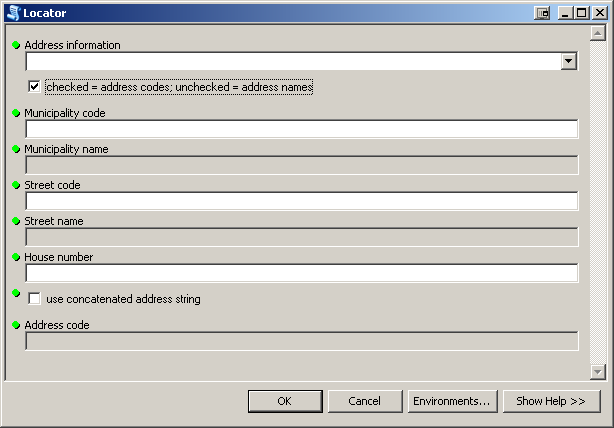
In case the user does not have street and municipality names for the addresses the fields 'Municipality names' and 'Street name' should not only be disabled but also not Required. However, when the appropriate checkbox is set to False these Fields are required.
Is there any possibility to disable a parameter in a Python toolbox that the parameterType is neglected?
Also, that I have to give a parameterType to a checkbox (or GPBoolean), or that there is a 'Required' given as default value is a bit weird.
Looking forward to any suggestion on how to solve these issues.
Bests Thomas
GIS moved on and nobody needs a format consisting out of at least three files! No, nobody needs shapefiles, not even for the sake of an exchange format. Folks, use GeoPackage to exchange data with other GIS!
- Mark as New
- Bookmark
- Subscribe
- Mute
- Subscribe to RSS Feed
- Permalink
Hi Thomas,
A couple of months ago I had the same problem and after some research found that the "Required" parameter property is read-only as documented here:
Customizing tool behavior in a Python toolbox
As a workaround, what I did was if a box was checked or textbox was filled in, I would use the addIDMessage and add error 735.
AddIDMessage (arcpy)
http://resources.arcgis.com/en/help/main/10.1/index.html#//018v00000022000000
000735 : <value>: Value is required.
What this did was that when the value was enabled, I could make the text box required and when the user went to run it, it would through an error asking for that value to be filled in.
Does this help?
- Mark as New
- Bookmark
- Subscribe
- Mute
- Subscribe to RSS Feed
- Permalink
Hi Alexander,
it sounds like a solution, although I do not fully get through it.
Would you have some code example to illustrate it?
How do you deal with the parameterType of the textboxes initially and how do you influence them by using the AddIDMessage?
Bests Thomas
GIS moved on and nobody needs a format consisting out of at least three files! No, nobody needs shapefiles, not even for the sake of an exchange format. Folks, use GeoPackage to exchange data with other GIS!
- Mark as New
- Bookmark
- Subscribe
- Mute
- Subscribe to RSS Feed
- Permalink
Hello Thomas,
I don't have a code sample just yet but what would happen is that when your add the id message, that id message would only appear if the textbox is enabled. If the textbox is disabled, the id message would not display.
Thanks,
Alexander N.