- Home
- :
- All Communities
- :
- Industries
- :
- Transportation
- :
- Public Transit
- :
- Public Transit Questions
- :
- Re: Something Similar to Central Feature Tool?
- Subscribe to RSS Feed
- Mark Topic as New
- Mark Topic as Read
- Float this Topic for Current User
- Bookmark
- Subscribe
- Mute
- Printer Friendly Page
Something Similar to Central Feature Tool?
- Mark as New
- Bookmark
- Subscribe
- Mute
- Subscribe to RSS Feed
- Permalink
Hello everyone,
I am just learning GIS in my advanced GIS class for my masters program. We went over statistical data tools such as the central feature tool. I'm curious to know if GIS has another tool that is similar but works in a slightly more detailed way.
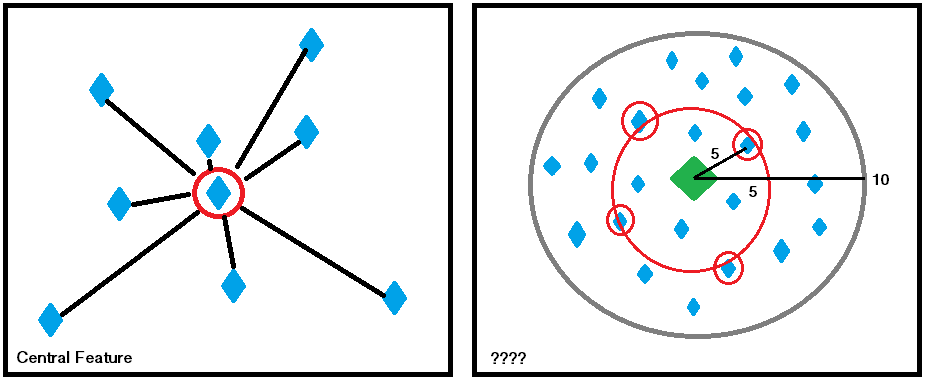
I will provide an image illustrating my problem if I can't communicate it clearly or just as an additional aid--my brain is fried from all the school work so please stick with me!
I have a central point feature (many of them, but lets stick with one). This point relates to a bus stop. I have many points all inside of a layer -- these are intersections. What I need to do is find all intersections that are--as close as possible--equidistant to the central bus stop and the outside edge of the polygon they all fall within.
The polygons in my shape file are super irregular so I don't feel that comfortable looking at the area, finding out what that would be in a circle, and using half the diameter to then perform a select by attribute:distance function. At least, this was one--if not crude--solution I have thought of.
Any help would be greatly appreciated!
Thank you so much!
- Mark as New
- Bookmark
- Subscribe
- Mute
- Subscribe to RSS Feed
- Permalink
super irregular polygons … Feature To Point—Data Management toolbox | ArcGIS Desktop
you could produce a convex hull around your points rather than a circle and determine its centroid
Minimum Bounding Geometry—Data Management toolbox | ArcGIS Desktop
To muddy the waters even more... Euclidean distance? mmmm bus stops and central point, I suspect network distance might be a more representative data set for use in a 'centrality' estimate.
In short, whatever you use or calculate just needs to be documented, known and standardized. There is no guarantee that … 'it'... will be the best measure.
- Mark as New
- Bookmark
- Subscribe
- Mute
- Subscribe to RSS Feed
- Permalink
>What I need to do is find all intersections that are--as close as possible--equidistant to the central bus stop and the outside edge of the polygon they all fall within.
Have you looked at Service Areas in Network Analyst. This solver produces drive time polygons up to a specified distance or time (break values) away from a feature. So you can use your central feature as the facility and drive out X miles. Then select the points that fall on or near the polygon boundary and count them. Repeat for different break values for what ever criteria you have.
Service area analysis layer—ArcGIS Pro | ArcGIS Desktop
Jay Sandhu