- Home
- :
- All Communities
- :
- Industries
- :
- Science
- :
- Ocean Science
- :
- Ocean Science Questions
- :
- Re: Extract ArcInfo Grid in AGOL or Pro?
- Subscribe to RSS Feed
- Mark Topic as New
- Mark Topic as Read
- Float this Topic for Current User
- Bookmark
- Subscribe
- Mute
- Printer Friendly Page
- Mark as New
- Bookmark
- Subscribe
- Mute
- Subscribe to RSS Feed
- Permalink
Hi all,
I have a dataset that a colleague would like to use in analysis, but I can't seem to convert it to a usable format.
This hosted REST layer, TidalStream/usa_mc_tides (MapServer), appears to be an ArcInfo Grid (but I'm not positive about that).
Ideally, I'd like to extract or clip to the extent around Alaska and convert the file into a modern raster format, to be passed on for use in MatLab.
None of the geoprocessing tools in ArcGIS Pro 2.5 seem to accept the layer as a supported format.
Any tips for converting / working with this dataset?
Thanks!
Ben
Solved! Go to Solution.
Accepted Solutions
- Mark as New
- Bookmark
- Subscribe
- Mute
- Subscribe to RSS Feed
- Permalink
Hi Ben,
The Map Service you are referring to does not allow analysis, just visualization. It's essentially a "picture" (tiles) of the analytical results.
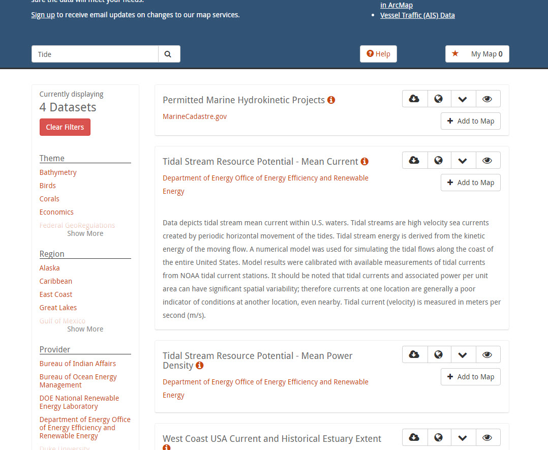
I found the layer you mentioned on Marine Cadastre (search for "tide") and there was a link to a "data download" here is the source.... this should be the underlying data used to make the "picture"....
I hope this helps.

- Mark as New
- Bookmark
- Subscribe
- Mute
- Subscribe to RSS Feed
- Permalink
cc Dan Patterson Kevin Butler Keith VanGraafeiland
Dawn Wright (she/her/hers), Ph.D. & GISP | Esri Chief Scientist
- Mark as New
- Bookmark
- Subscribe
- Mute
- Subscribe to RSS Feed
- Permalink
Hi Ben,
The Map Service you are referring to does not allow analysis, just visualization. It's essentially a "picture" (tiles) of the analytical results.
I found the layer you mentioned on Marine Cadastre (search for "tide") and there was a link to a "data download" here is the source.... this should be the underlying data used to make the "picture"....
I hope this helps.

- Mark as New
- Bookmark
- Subscribe
- Mute
- Subscribe to RSS Feed
- Permalink
Thank you Keith VanGraafeiland! I was able to bring it into AGP and convert it after the download. Much appreciated!