- Home
- :
- All Communities
- :
- User Groups
- :
- Mobile GIS
- :
- Questions
- :
- Converting point features to a polygon feature cla...
- Subscribe to RSS Feed
- Mark Topic as New
- Mark Topic as Read
- Float this Topic for Current User
- Bookmark
- Subscribe
- Mute
- Printer Friendly Page
Converting point features to a polygon feature class
- Mark as New
- Bookmark
- Subscribe
- Mute
- Subscribe to RSS Feed
- Permalink

Above is a screenshot of the point feature boundaries for a farm, tried to create a line feature from the points, but the central line is a boundary being shared by the two adjacent farms. How do l ensure that the attributes joined are unique for each farm since they only share a boundary with same location but different attributes such as farmID and farmName.
- Mark as New
- Bookmark
- Subscribe
- Mute
- Subscribe to RSS Feed
- Permalink
Okay let me try that. Thank you.
- Mark as New
- Bookmark
- Subscribe
- Mute
- Subscribe to RSS Feed
- Permalink
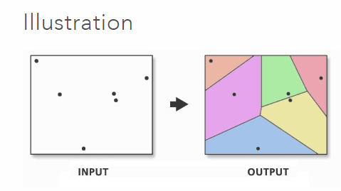
There are several methods to produce polygons from points. It may be that one may be more appropriate for what you are after than another.
Points to Line
Feature to Polygon
Aggregate Points
Points to Regular Polygons (ET Geowizards)
How To: Convert a point feature class to a polygon feature class
One caveat, though, is that some of the methods require an advanced license and in one case the tool is part of a 3rd party software (ET GeoWizards).
Chris Donohue, GISP
