- Home
- :
- All Communities
- :
- Products
- :
- Mapping
- :
- Mapping Questions
- :
- Re: Shapefile Coordinate system
- Subscribe to RSS Feed
- Mark Topic as New
- Mark Topic as Read
- Float this Topic for Current User
- Bookmark
- Subscribe
- Mute
- Printer Friendly Page
- Mark as New
- Bookmark
- Subscribe
- Mute
- Subscribe to RSS Feed
- Permalink
I created a polygon shapefile with a geographic WGS84 Coordinate system, the problem is I need a projected 1992 coordinate. I was trying to change it but my shape is moving to another place. Is there any option to convert that system without moving my shapes? Or is it possible to change it and then relocate shapes back to the old position but in a new coordinate system?
Solved! Go to Solution.
Accepted Solutions
- Mark as New
- Bookmark
- Subscribe
- Mute
- Subscribe to RSS Feed
- Permalink
You need to use the Project tool which will create a new file in the new coordinate system assuming your input file is correctly defined. Do not use the Define Projection to do this job, it will just foul everything up
- Mark as New
- Bookmark
- Subscribe
- Mute
- Subscribe to RSS Feed
- Permalink
You need to use the Project tool which will create a new file in the new coordinate system assuming your input file is correctly defined. Do not use the Define Projection to do this job, it will just foul everything up
- Mark as New
- Bookmark
- Subscribe
- Mute
- Subscribe to RSS Feed
- Permalink
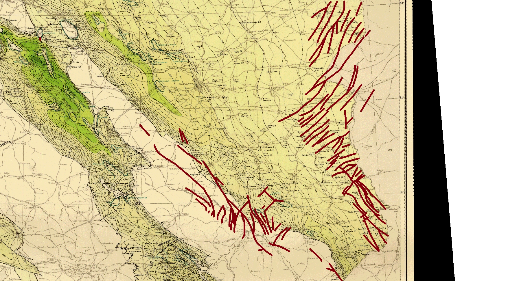
You mean I should use a "Convert coordinate notation" tool? If yes, this tool require to input a X and Y field. I don't have any fields in attribute table with coordinates because my shapes are just a polyline. I don't know how to explain it exactly but look at photo below.
That polylines I created in WGS84, now when I enter to editor mode, there is an alert that "Spatial references doesn't match frame".
- Mark as New
- Bookmark
- Subscribe
- Mute
- Subscribe to RSS Feed
- Permalink
The tool is Project (under Data Management->Projections and Transformations).
- Mark as New
- Bookmark
- Subscribe
- Mute
- Subscribe to RSS Feed
- Permalink
Load the shapefile into ArcMap, then change the data frame coordinate system to the projection that you want the data in, then right click on the layer and choose data>export data, and save the file as a new shapefile using the dataframe option, this will save the layer in the desired projection.
- Mark as New
- Bookmark
- Subscribe
- Mute
- Subscribe to RSS Feed
- Permalink
as I said, the data need to be projected... which produces a file in the new coordinate system... the source of the tool has been provided as well as a variant approach, the net result is still the same ... a new file in a new coordinate system, from a file with a known coordinate system.