Turn on suggestions
Auto-suggest helps you quickly narrow down your search results by suggesting possible matches as you type.
Cancel
- Home
- :
- All Communities
- :
- Products
- :
- Mapping
- :
- Mapping Questions
- :
- Re: HELP! Legend offset from data frame when PDFin...
Options
- Subscribe to RSS Feed
- Mark Topic as New
- Mark Topic as Read
- Float this Topic for Current User
- Bookmark
- Subscribe
- Mute
- Printer Friendly Page
HELP! Legend offset from data frame when PDFing!
Subscribe
2345
2
12-06-2012 08:18 AM
by
Anonymous User
Not applicable
12-06-2012
08:18 AM
- Mark as New
- Bookmark
- Subscribe
- Mute
- Subscribe to RSS Feed
- Permalink
Original User: BrokenLegMike
Hey folks,
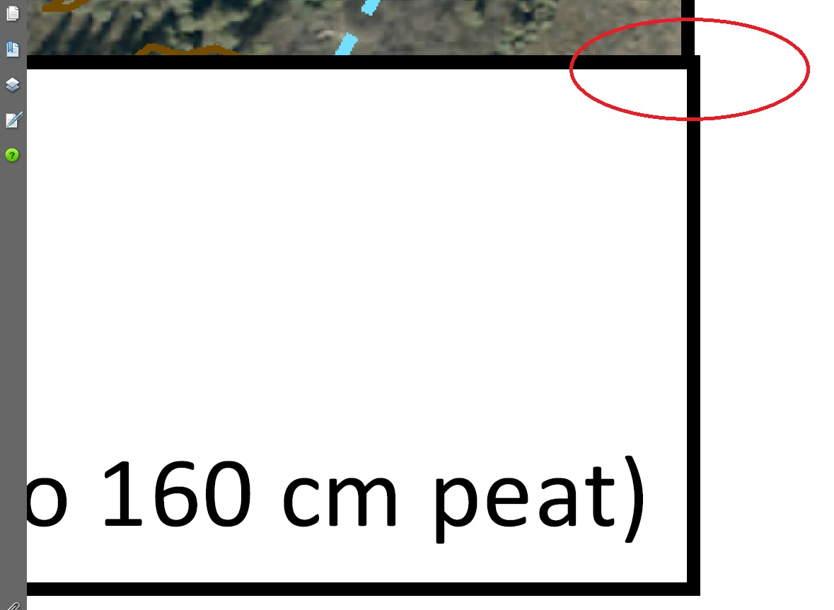
I have been trying to pdf a map and I keep getting an offset between the legend and the dataframe. basically, i have a legend in the bottom right corner of my dataframe. I have anchored the 2 elements together in the exact same X,Y position and everytime I pdf, I keep getting an offset. See images attached. The first one is the mxd file. The legend box is anchored with the dataframe and it aligns perfectly. After I pdf it, the box is offset. (second image)
I've played with grouping the elements together. I've played with the output resolution and quality. I've tried 'Export Map' and 2 other pdf print drivers and I keep getting this offset. I don't know why it's doing this, but I have a report that has to go out today and I need to fix this ASAP! Any help would be much appreciated! 🙂
[ATTACH=CONFIG]19759[/ATTACH] [ATTACH=CONFIG]19760[/ATTACH]
Hey folks,
I have been trying to pdf a map and I keep getting an offset between the legend and the dataframe. basically, i have a legend in the bottom right corner of my dataframe. I have anchored the 2 elements together in the exact same X,Y position and everytime I pdf, I keep getting an offset. See images attached. The first one is the mxd file. The legend box is anchored with the dataframe and it aligns perfectly. After I pdf it, the box is offset. (second image)
I've played with grouping the elements together. I've played with the output resolution and quality. I've tried 'Export Map' and 2 other pdf print drivers and I keep getting this offset. I don't know why it's doing this, but I have a report that has to go out today and I need to fix this ASAP! Any help would be much appreciated! 🙂
[ATTACH=CONFIG]19759[/ATTACH] [ATTACH=CONFIG]19760[/ATTACH]
2 Replies
by
Anonymous User
Not applicable
12-06-2012
11:46 AM
- Mark as New
- Bookmark
- Subscribe
- Mute
- Subscribe to RSS Feed
- Permalink
Original User: cblinnmrc
Hi Mike,
I too have had similar issues in the past when exporting to PDF. I also have issues regarding color, inserted tables, and text. What has worked for me in the past is exporting the map as a JPEG, then converting the JPEG to PDF in Adobe. I know it is another step, but after so much time spent playing with the settings and positions in ArcMap, taking the extra step was the best and fastest solution.
Hope this helps!
Best,
Chris B.
02-01-2013
06:53 AM
- Mark as New
- Bookmark
- Subscribe
- Mute
- Subscribe to RSS Feed
- Permalink
Hey thanks for suggesting that Christopher. I'm afraid that converting to jpeg and then to pdf will result in a loss in actual scale on the map. Have you tried measuring distances in your resulting pdf and then comparing that to the same measure in ArcMap? The map figures I create need an accurate scale because they are used in construction and survey companies to build infrastructure.