- Home
- :
- All Communities
- :
- Products
- :
- Mapping
- :
- Map Projections Questions
- :
- Re: How to make two layers show together
- Subscribe to RSS Feed
- Mark Topic as New
- Mark Topic as Read
- Float this Topic for Current User
- Bookmark
- Subscribe
- Mute
- Printer Friendly Page
How to make two layers show together
- Mark as New
- Bookmark
- Subscribe
- Mute
- Subscribe to RSS Feed
- Permalink
Hey, I have a question when using the GIS map.
I try to add the Export_outlet, which is two points, to the map Landuse_watershed so I can mark the sampling points on the landuse map. But when I choose Zoom to the layer, it can only show either Export_outlet or Landuse_watershed. These two layers do not combine together. They are in the same coordinate system. What can I do to fix that?
Thank you!

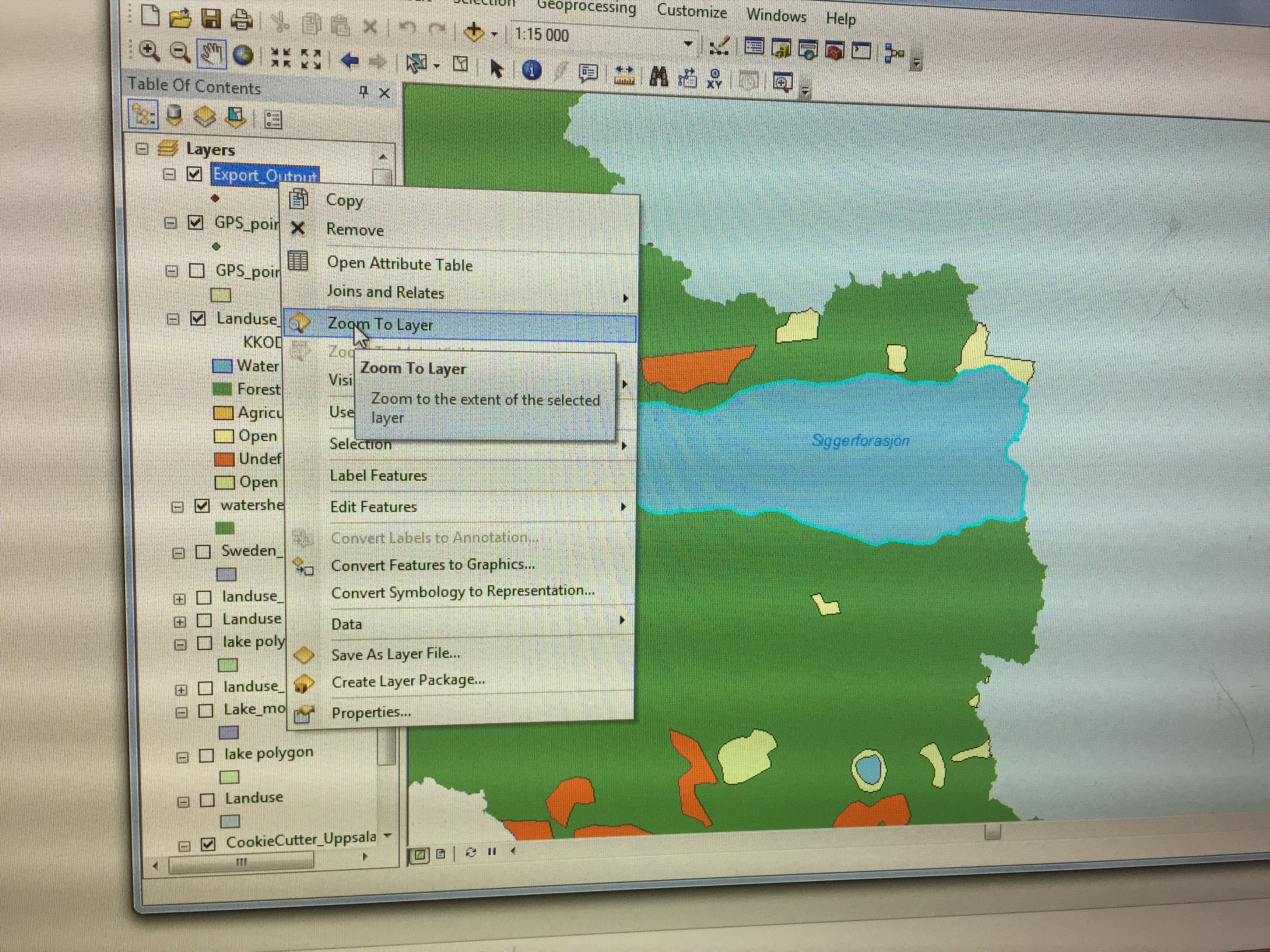
 (I want the two points showing on the map, they are supposed to be on the lake)
- Mark as New
- Bookmark
- Subscribe
- Mute
- Subscribe to RSS Feed
- Permalink
They have different extents.
Check the properties of both and look for the 'extent' ie the left, right, top and bottom.
you need to set a common extent to the smallest of the two.
There are a number of ways to do this, but you could produce new versions by clipping to a common extent
Extent (Environment setting)—Geoprocessing | ArcGIS Desktop
Also, it wouldn't be the first time that both layers have been claimed to be in the same coordinate system and they weren't because people have used the Define Projection tool rather than the Project tool so examine your workflow and confirm that the coordinates are indeed the same
- Mark as New
- Bookmark
- Subscribe
- Mute
- Subscribe to RSS Feed
- Permalink
What Dan said. Further, when two layers do not overlay at all, it's often because one has coordinates that are latitude-longitude (in degrees) but has a projected coordinate system (PCS) assigned to it. Because the latitude-longitude values are so small compared to PCS coordinates, that layer will show up very far to the west and south of the data that's truly using a projected coordinate system.
Melita