- Home
- :
- All Communities
- :
- Products
- :
- Mapping
- :
- Map Projections Questions
- :
- Re: How do you indentify coordinates?
- Subscribe to RSS Feed
- Mark Topic as New
- Mark Topic as Read
- Float this Topic for Current User
- Bookmark
- Subscribe
- Mute
- Printer Friendly Page
How do you indentify coordinates?
- Mark as New
- Bookmark
- Subscribe
- Mute
- Subscribe to RSS Feed
- Permalink
Hi all -
I'm trying to master the wretched process of dealing with unidentified coordinates. I work for a state agency that does a lot of field work and this data comes in fairly often. I'd like to train my users on how to manage it, but it appears I haven't quite got a handle on it myself! This is the documentation (unless one of you knows a better source).
29129 - Identify the spatial reference, projection, or coordinate system of data
It says to add the data table and look at the data via the 'project on-the-fly' utility.
But when I look at the source tab, I can't see anything but text, both with a csv or xls table.
I wondered if maybe it was b/c it wasn't a dbf but when I try and export as a dbf it fails! Help, please? TIA
Cheers,
Joanna
- Mark as New
- Bookmark
- Subscribe
- Mute
- Subscribe to RSS Feed
- Permalink
copy and post the first few rows of the csv file.
- Mark as New
- Bookmark
- Subscribe
- Mute
- Subscribe to RSS Feed
- Permalink
Gladly.
ID,site,Latitude,Longitude
1,Lowell -Burgess Branch,44.80583300,-72.46055600
2,Troy - Jay Branch,44.95638900,-72.39722200
3,"Westfield – Missisquoi River, Loop Rd ",44.86666700,-72.41555600
4,"N Troy – Missisquoi River, Big Falls",44.97388900,44.97388900
- Mark as New
- Bookmark
- Subscribe
- Mute
- Subscribe to RSS Feed
- Permalink
It's worth noting that I was able to project the data, but only by guesswork. I used the "Most frequently, GPS data is collected on the WGS 1984 datum" rule, but that seemed suspicious to me. I got it from below.
27589 - Import XY data tables to ArcMap and convert the data to a shapefile
But I want to know how to do this correctly and teach it that way as well.
- Mark as New
- Bookmark
- Subscribe
- Mute
- Subscribe to RSS Feed
- Permalink
They are latitude and longitude values and if originating from a gps, most likely using WGS84 datum. I wouldn't worry...do note that Longitude-Easting-X are Latitude-Northing-Y can be thought of as triplets when referring to coordinates, in case someone directly or inadvertently changed the coordinates in the GPS (highly unlikely)...without getting into details, just don't switch them around if asked for an X-coordinate and you are given gps data as you have recorded.
- Mark as New
- Bookmark
- Subscribe
- Mute
- Subscribe to RSS Feed
- Permalink
Here's something I recommend in my talks at the UC. If you generally deal with data from one area, make a cheat sheet with extents or sample coordinates in the various coordinate systems. Here are sample coordinates for San Diego in three different coordinate systems.
| Header 1 | Header 2 | Header 3 |
|---|---|---|
| San Diego, California | ||
| NAD 1983 | X / longitude | Y / latitude |
| Geographic | -116.67 | 33 |
| UTM zone 11N | 530,000 m | 3,650,000 m |
| State Plane (CA zone 6) | 1,960,000 m | 593,000 m |
Beyond training the staff to, say, always use latitude and longitude, WGS 1984, in decimal degrees, this technique may help you to more quickly identify data with an unknown coordinate system.
Melita
- Mark as New
- Bookmark
- Subscribe
- Mute
- Subscribe to RSS Feed
- Permalink
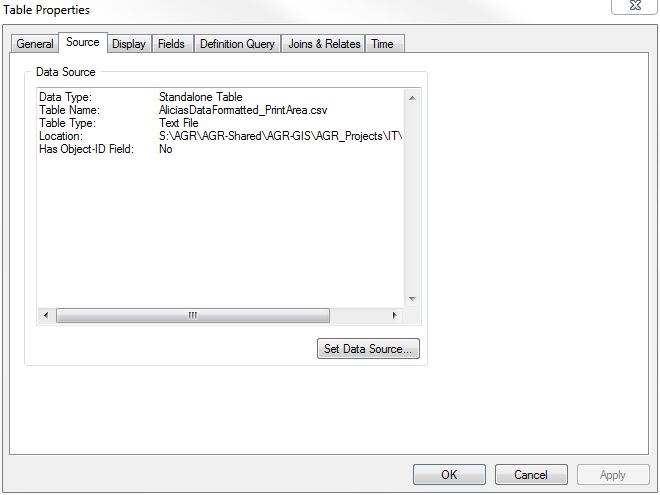
cool idea. I work for the State of Vermont so that might be doable. I still don't understand why this data can't be viewed in my source tab like the documentation says. I'd just like to do it the right way!
- Mark as New
- Bookmark
- Subscribe
- Mute
- Subscribe to RSS Feed
- Permalink
The coordinate systems are all based on NAD 1983 (state plane on NAD27 would have different values). The 2nd column is either a x/easting/longitude value while the third column is y/northing/latitude.
They're just a sample coordinate pair per each coordinate system (one geographic, two projected).
It's xy file data, so the same information isn't as available as it is in a shapefile or other feature class.
Melita
- Mark as New
- Bookmark
- Subscribe
- Mute
- Subscribe to RSS Feed
- Permalink
Okay. So, is the rule of thumb really that GPS points always come in as WGS 84? We only ever get the data in decimal degrees.