- Home
- :
- All Communities
- :
- Products
- :
- Imagery and Remote Sensing
- :
- Imagery Questions
- :
- Re: I'm using Arc 10 and want to know how to uploa...
- Subscribe to RSS Feed
- Mark Topic as New
- Mark Topic as Read
- Float this Topic for Current User
- Bookmark
- Subscribe
- Mute
- Printer Friendly Page
I'm using Arc 10 and want to know how to upload tiles and a dataset (polygons). Anyone still familiar with this!?
- Mark as New
- Bookmark
- Subscribe
- Mute
- Subscribe to RSS Feed
- Permalink
- Report Inappropriate Content
I'm using Arc 10 and want to know how to upload tiles and a dataset (polygons). Anyone still familiar with this!?
- Mark as New
- Bookmark
- Subscribe
- Mute
- Subscribe to RSS Feed
- Permalink
- Report Inappropriate Content
No. You should not change the extension. You should only change the name before the extensions to match each other.
e.g. NZ01.tif and NZ01.tfw
Think Location
- Mark as New
- Bookmark
- Subscribe
- Mute
- Subscribe to RSS Feed
- Permalink
- Report Inappropriate Content
Ah - and at the moment they are lower and upper case - OK
Thanks
Ben Scotting BSc (Hons) ABC Arb MCIEEM
Project ManagerRural Development Initiatives
Office: +44 (0) 1765 609 355
Mobile: +44 (0) 7957 172 021
Email: ben.scotting@ruraldevelopment.org.uk
Address: Rural Development Initiatives Ltd.
Unit 9, Sycamore Business Park,
Copt Hewick, Ripon,
North Yorkshire, HG4 5DF
Website: www.ruraldevelopment.org.uk <http://clicks.clearformat.com/mbq46>
Disclaimer
Important: This message is private and confidential. If you have received
this message in error, please notify us and remove it from your system.
Rural Development Initiatives Ltd. is a limited company registered in
Scotland. Registered number: SC278363. Registered office:The Soap Factory,
111 Gallowgate, Aberdeen, AB25 1BU. Please note that Rural Development
Initiatives Ltd. may monitor email traffic data and also the content of
email for the purposes of security and staff training. This message (and
any associated files) is intended only for the use of the recipient and may
contain information that is confidential, subject to copyright or
constitutes a trade secret. If you are not the intended recipient you are
hereby notified that any dissemination, copying or distribution of this
message, or files associated with this message, is strictly prohibited. If
you have received this message in error, please notify us immediately by
replying to the message and deleting it from your computer. Any views or
opinions presented are solely those of the author and do not necessarily
represent those of the company.
- Mark as New
- Bookmark
- Subscribe
- Mute
- Subscribe to RSS Feed
- Permalink
- Report Inappropriate Content
Right all the files are now named all the same - i.e. in upper case. Still
no scaling.
Ben Scotting BSc (Hons) ABC Arb MCIEEM
Project ManagerRural Development Initiatives
Office: +44 (0) 1765 609 355
Mobile: +44 (0) 7957 172 021
Email: ben.scotting@ruraldevelopment.org.uk
Address: Rural Development Initiatives Ltd.
Unit 9, Sycamore Business Park,
Copt Hewick, Ripon,
North Yorkshire, HG4 5DF
Website: www.ruraldevelopment.org.uk <http://clicks.clearformat.com/mbq46>
Disclaimer
Important: This message is private and confidential. If you have received
this message in error, please notify us and remove it from your system.
Rural Development Initiatives Ltd. is a limited company registered in
Scotland. Registered number: SC278363. Registered office:The Soap Factory,
111 Gallowgate, Aberdeen, AB25 1BU. Please note that Rural Development
Initiatives Ltd. may monitor email traffic data and also the content of
email for the purposes of security and staff training. This message (and
any associated files) is intended only for the use of the recipient and may
contain information that is confidential, subject to copyright or
constitutes a trade secret. If you are not the intended recipient you are
hereby notified that any dissemination, copying or distribution of this
message, or files associated with this message, is strictly prohibited. If
you have received this message in error, please notify us immediately by
replying to the message and deleting it from your computer. Any views or
opinions presented are solely those of the author and do not necessarily
represent those of the company.
On 3 August 2017 at 14:34, Scotting, Ben <
- Mark as New
- Bookmark
- Subscribe
- Mute
- Subscribe to RSS Feed
- Permalink
- Report Inappropriate Content
As you mentioned the data is from Ordnance Survey UK? They propose woldfiles (.tfw) to their data free to download on their homepage.
Geo-referencing, and land and sea tiles
You could compare your wordfiles with the downloaded ones if they have any of your data. Simply drag and drop the .tfw files in notepad to open them.
1:25 000 Scale Colour Raster - 10km x 10km NZ01.TFW looks like this one:
2.500000000000000
0.000000000000000
0.000000000000000
-2.500000000000000
400001.250000000000000
519998.750000000000000
- Mark as New
- Bookmark
- Subscribe
- Mute
- Subscribe to RSS Feed
- Permalink
- Report Inappropriate Content
You can't do any such thing in ArcReader.
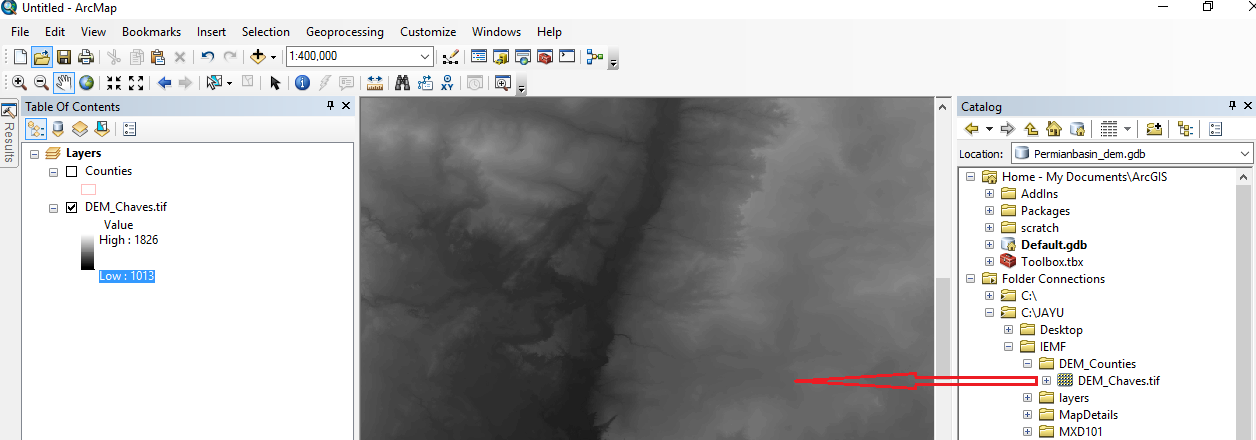
Now, coming to ArcMap, what happens when you Add Data > Add the TIF Raster image to ArcMap? Could you send a screenshot of the whole ArcMap screen after adding the Raster (TIF Image) to it?
Think Location
- « Previous
- Next »
- « Previous
- Next »