- Home
- :
- All Communities
- :
- Products
- :
- Geoprocessing
- :
- Geoprocessing Questions
- :
- WKT .csv file to Polygons
- Subscribe to RSS Feed
- Mark Topic as New
- Mark Topic as Read
- Float this Topic for Current User
- Bookmark
- Subscribe
- Mute
- Printer Friendly Page
WKT .csv file to Polygons
- Mark as New
- Bookmark
- Subscribe
- Mute
- Subscribe to RSS Feed
- Permalink
Hello
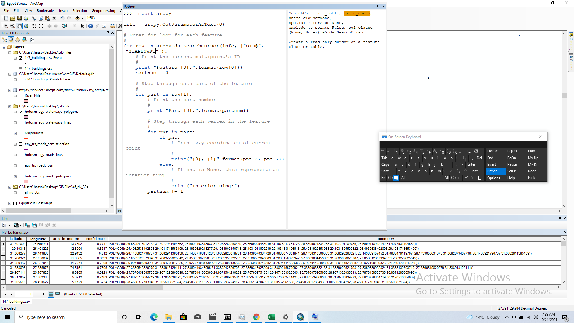
I am trying to convert a .csv file with WKT geometry into a polygon shapefile in arcmap. I saw some examples where arcpy was used to do this but I am struggling to use the code despite experience with python (although in different syntax). Is there any other way of converting the data? if not does anyone have a clear resource for using the arcpy code.
I included a screenshot of my table and the code I am trying to use.
Any help would be much appreciated thanks.
- Mark as New
- Bookmark
- Subscribe
- Mute
- Subscribe to RSS Feed
- Permalink
Could you share a sample CSV for us to test?
Think Location
- Mark as New
- Bookmark
- Subscribe
- Mute
- Subscribe to RSS Feed
- Permalink
FromWKT() can be used using ArcPy, a sample explained in the comments of Utilizing 'fromWKT' function in python in version ... - Esri Community.
However, if you have QGIS, it could be pretty straightforward using "Add Delimited Text Layer" tool.

.png)
Think Location
- Mark as New
- Bookmark
- Subscribe
- Mute
- Subscribe to RSS Feed
- Permalink
Thank you. I ended up downloading Qgis just to do this. I find it strange that ArcGIS doesn't have a tool for this, although I guess arcpy works well for those familiar enough with it.