Turn on suggestions
Auto-suggest helps you quickly narrow down your search results by suggesting possible matches as you type.
Cancel
- Home
- :
- All Communities
- :
- Products
- :
- Geoprocessing
- :
- Geoprocessing Questions
- :
- Need very urgent help with LS Factor(USLE)Calculat...
Options
- Subscribe to RSS Feed
- Mark Topic as New
- Mark Topic as Read
- Float this Topic for Current User
- Bookmark
- Subscribe
- Mute
- Printer Friendly Page
Need very urgent help with LS Factor(USLE)Calculation in ArcGis10 (get strange result
Subscribe
18618
11
08-12-2012 09:44 AM
08-12-2012
09:44 AM
- Mark as New
- Bookmark
- Subscribe
- Mute
- Subscribe to RSS Feed
- Permalink
I wanted to calculate the LS Factor of the USLE (Universal Soil Loss Equation) with the tool Raster Calculator in ArcGis 10.
First, I filled my DEM with the tool Fill. (DEM was calculated in UTM)
Second, I calculated the Flow Direction with the Tool Flow Direction.
Third, I calculated the Flow Accumulation with my Flow Direction as Inputfile. [ATTACH=CONFIG]16862[/ATTACH]
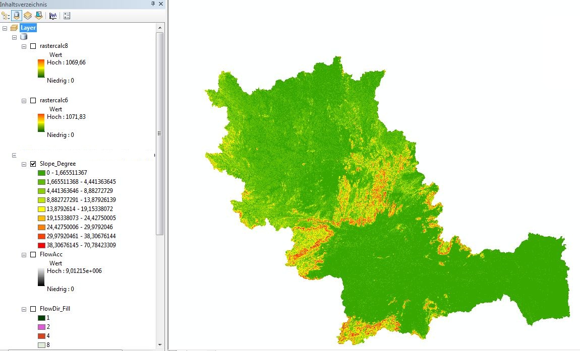
Fourth, I calculated the Slope in Degrees by the Spatial Analyst tool Surface and Slope. [ATTACH=CONFIG]16863[/ATTACH]
Fifthly, I used the Equation by Moore and Burch 1986: LS = (Flow Accumulation * Cell Size/22.13)^0.4 * (sin (slope/0.0896))^1.3
Sixthly: I typed in the raster calculator the equation:
(Power((("FlowAcc" * 92.46745509) / 22.13),0.4)) * (Power((Sin("Slope_Degree" / 0.0896)),1.3))
But my result look very very strange! There a lot of white areas! The Raster is not like cover areas.... It looks like that every calculated value is seperated... It looks like a dotted map....What did I wrong?? Did I forget something?? I can`t believe that this is right??!! [ATTACH=CONFIG]16864[/ATTACH]
First, I filled my DEM with the tool Fill. (DEM was calculated in UTM)
Second, I calculated the Flow Direction with the Tool Flow Direction.
Third, I calculated the Flow Accumulation with my Flow Direction as Inputfile. [ATTACH=CONFIG]16862[/ATTACH]
Fourth, I calculated the Slope in Degrees by the Spatial Analyst tool Surface and Slope. [ATTACH=CONFIG]16863[/ATTACH]
Fifthly, I used the Equation by Moore and Burch 1986: LS = (Flow Accumulation * Cell Size/22.13)^0.4 * (sin (slope/0.0896))^1.3
Sixthly: I typed in the raster calculator the equation:
(Power((("FlowAcc" * 92.46745509) / 22.13),0.4)) * (Power((Sin("Slope_Degree" / 0.0896)),1.3))
But my result look very very strange! There a lot of white areas! The Raster is not like cover areas.... It looks like that every calculated value is seperated... It looks like a dotted map....What did I wrong?? Did I forget something?? I can`t believe that this is right??!! [ATTACH=CONFIG]16864[/ATTACH]
11 Replies
08-29-2021
05:05 AM
- Mark as New
- Bookmark
- Subscribe
- Mute
- Subscribe to RSS Feed
- Permalink
Hi JoanitoOliveira,
I tried and installed the GISus_M esri add-in in Arcgis 10.2, however, it's not functional. Just it's only installed and also showing in Arc tool list, but not highlighting any the options in the model. Kindly suggest me right procedure for installation in order to work on the model.
Thanks
02-03-2021
11:25 PM
- Mark as New
- Bookmark
- Subscribe
- Mute
- Subscribe to RSS Feed
- Permalink
Hey @JuliaHauczinger ,
Your formula is correct. Just use the slope in radians (i.e., multiply the slope(in degrees) with 3.14/180 ).
Then you will be getting the correct result.
Thank You
- « Previous
-
- 1
- 2
- Next »
- « Previous
-
- 1
- 2
- Next »