- Home
- :
- All Communities
- :
- Products
- :
- Geoprocessing
- :
- Geoprocessing Questions
- :
- Re: I produced a raster map representing estimates...
- Subscribe to RSS Feed
- Mark Topic as New
- Mark Topic as Read
- Float this Topic for Current User
- Bookmark
- Subscribe
- Mute
- Printer Friendly Page
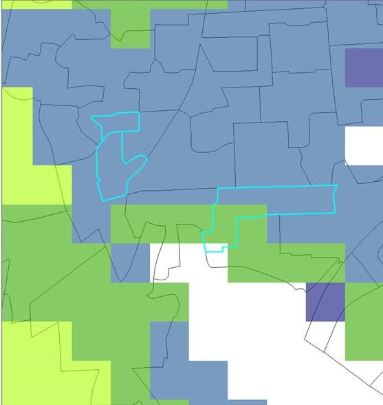
I produced a raster map representing estimates of the number inhabitants in pixels of 100x100 meter and I want to calculate the total of inhabitants per administrative units that are represented by polygons such as those shown in the picture. After conver
- Mark as New
- Bookmark
- Subscribe
- Mute
- Subscribe to RSS Feed
- Permalink
I produced a raster map representing estimates of the number inhabitants in pixels of 100x100 meter and I want to calculate the total of inhabitants per administrative units that are represented by polygons such as those shown in the picture. After converting those polygons into a raster layer (with a resolution of 100 meter) I'm using Zonal Statistic as Table in ArcGIS to calculate the number of inhabitants per administrative unit. The resultant table has fewer lines than the number of administrative units represented in the raster layer. Therefore I'm losing information for administrative units having an area below 28500 square meters or for administrative units with an irregular geometry such as those highlighted in the picture. The problem persists when I convert the administrative units into a raster layer with a resolution of 25 meter.
- Mark as New
- Bookmark
- Subscribe
- Mute
- Subscribe to RSS Feed
- Permalink
It is best to convert the zones to a raster first, setting the cell size, extent and snap raster before beginning.
http://pro.arcgis.com/en/pro-app/tool-reference/spatial-analyst/zonal-statistics-as-table.htm
If this isn't done, then you may not get exactly what you want
- Mark as New
- Bookmark
- Subscribe
- Mute
- Subscribe to RSS Feed
- Permalink
Thanks,
I did all of that before posting the question actually.
Yet, any thoughts?
- Mark as New
- Bookmark
- Subscribe
- Mute
- Subscribe to RSS Feed
- Permalink
The image doesn't show the raster version of the administrative units does it?
ADDENDUM
There are 58 bugs covering all incarnations of ArcMap and PRO, but none that cover your situation
https://support.esri.com/en/Search-Results#search?q=zonal statistics as table&content-type=Bugs
- Mark as New
- Bookmark
- Subscribe
- Mute
- Subscribe to RSS Feed
- Permalink
The image itself no but I have done those procedures before. I believe this may happen due to the irregular geometries of the polygons. I am not sure if there is any way to tackle this issue. I have done the conversion to raster in equally area of the minimum polygon area but still no resolution.
Thanks
- Mark as New
- Bookmark
- Subscribe
- Mute
- Subscribe to RSS Feed
- Permalink
If possible, attach the data (or a sample of the data) to the thread so we can have a look what is going on.
- Mark as New
- Bookmark
- Subscribe
- Mute
- Subscribe to RSS Feed
- Permalink
Thanks Xander. I have talked with my colleagues and in the near time would be complicated to share the data as we have limited time to prepare it (we work with large datasets). Anyway, if I have a chance, I will certainly do it. I want to return to this point later as it is important to find a solution.
Thanks again