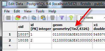
I have a simple TINZ surface (e.g. a 3d TIN) stored in my postgresql+postgis database. Here is the table (called tin4):

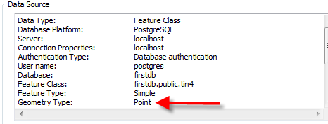
I have made a connection to this database in ArcScene and when I add the TIN to the scene layers it for some reason converts the geometry to a Point :

This can be verified in the layer properties under the source tab:

This results in not being able to visualize the data in the 3D camera.
Why is ArcScene converting TINZ geometries into Point geometries?
How can I properly import TIN geometries from my postgis database?
Thank you