- Home
- :
- All Communities
- :
- Services
- :
- Esri Training
- :
- Esri Training Questions
- :
- Re: May 15, 2018: Cartography. MOOC Ask Me Anythin...
- Subscribe to RSS Feed
- Mark Topic as New
- Mark Topic as Read
- Float this Topic for Current User
- Bookmark
- Subscribe
- Mute
- Printer Friendly Page
May 15, 2018: Cartography. MOOC Ask Me Anything (AMA)
- Mark as New
- Bookmark
- Subscribe
- Mute
- Subscribe to RSS Feed
- Permalink
Live Today! AMA Event on GeoNet
Tuesday, May 15, 9:30 a.m. - 10:30 a.m. (PDT)
Join our Cartography. MOOC guests here on the GeoNet Community for a LIVE AMA (Ask Me Anything) event. The AMA will take place in this discussion thread on Tuesday, May 15, 2018, from 9:30 a.m. - 10:30 a.m. (PDT).
*Click HERE to convert exact time for different countries.
This is an opportunity to ask our guests questions about the Cartography. MOOC course, about cartography in general, great maps, best practices or anything else that comes to mind.
AMA Guests
How does the AMA work? During the AMA, you can post your questions by clicking the "Add Reply" button below and our guests will reply to your questions in comments. You are welcome to post questions ahead of the AMA and they will answer them during the AMA.Please note: You must be logged in to post questions and see responses. See instructions on How to Log into GeoNet for the AMA. AMA Tips and GeoNet Community Guidelines
- When asking questions and comments during the AMA, remember to follow the GeoNet Community Guiding Principles: Be Helpful, Be Human, Be Smart.
- This discussion page will not auto-refresh, so please remember to refresh this page to see new questions, comments and replies.
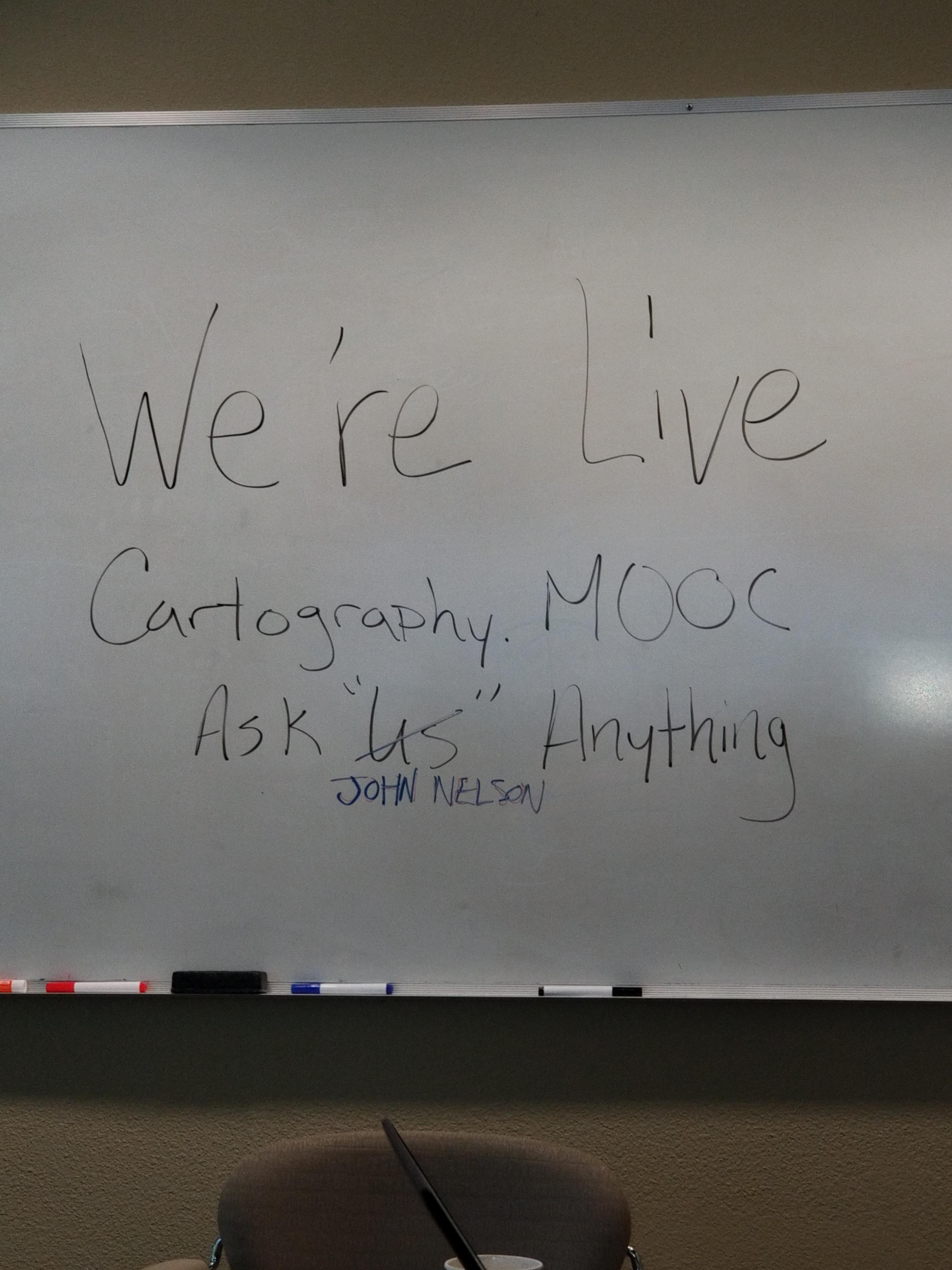
Please note: The AMA will be live when you see a picture of our guests below. We are live!
 |  |
9:30 a.m. - And we're live! Go ahead and ask your questions!
9:45 a.m. - If you are just joining us, feel free to ask any question.
10:00 a.m. - We're halfway through, Great questions! Keep them coming!
10:15 a.m. - If you are just joining us, feel free to ask any question.
10:25 a.m. - Five minutes to go! Got any fun questions for our Guests?
10:30 a.m. - And that's a wrap! The live AMA has ended with our wonderful Cartography. MOOC Guests.
Thank you for your questions and participation.
The thread has shifted to a time-stamp view. To view the threads in their entirety, you can select the Actions above the right corner of the discussion thread and select View PDF.
- Mark as New
- Bookmark
- Subscribe
- Mute
- Subscribe to RSS Feed
- Permalink
ArcMap and ArcGIS Pro come as part of the same license so you should be good to go.
As for when to switch...whenever you are comfortable. At v1.0 I still used ArcMap about 80% of the time. At v2.0 I probably switched to doing 70% of my work in Pro. Now (v2.1.2) I go to Pro first and it actually now freaks me out going back to ArcMap. So, it all depends on when you're comfortable, when Pro supports what you do and...when you make the jump!
- Mark as New
- Bookmark
- Subscribe
- Mute
- Subscribe to RSS Feed
- Permalink
I finally got here! Man, there are a lot of good stuff here. This is my first experience with cartography. I am probably in the lowest level users, if I am considered a user. I do not know what to ask. I think I will use what I have left of my lunch time and go back and work on section three. Do not know if I can finish the course, but I will get as much done before it ends. Jim
- Mark as New
- Bookmark
- Subscribe
- Mute
- Subscribe to RSS Feed
- Permalink
Glad you are taking the course.
- Mark as New
- Bookmark
- Subscribe
- Mute
- Subscribe to RSS Feed
- Permalink
Another question, do you have a favorite color palettes and preferred font sets that you use.. can you share them with us?
- Mark as New
- Bookmark
- Subscribe
- Mute
- Subscribe to RSS Feed
- Permalink
Regarding the color palette question, you should check out the Viridis set of colors. Great for maps and visualization. https://cran.r-project.org/web/packages/viridis/vignettes/intro-to-viridis.html
- Mark as New
- Bookmark
- Subscribe
- Mute
- Subscribe to RSS Feed
- Permalink
But usually, I start with a simple hue gradient with a slight brightness shift too. To help re-inforce the less-to-more visual. Then I just play with them manually in the Color Scheme Editor in Pro until something looks cool.
- Mark as New
- Bookmark
- Subscribe
- Mute
- Subscribe to RSS Feed
- Permalink
Thanks a lot.. you are the man...
- Mark as New
- Bookmark
- Subscribe
- Mute
- Subscribe to RSS Feed
- Permalink
And you can do strange but effective practical and impractical things with transparency in gradients. Here is a big collection of resources: https://www.esri.com/arcgis-blog/products/arcgis-pro/analytics/interesting-and-absurd-uses-of-digita...
- Mark as New
- Bookmark
- Subscribe
- Mute
- Subscribe to RSS Feed
- Permalink
Ok, one more question. What kind of other education would you guys recommend looking into to further my education? I have a bachelors degree in Geography as well as the GIS Certificate but I was thinking about going one step further but my schedule won't exactly allow for me to sit in a class but I was thinking about online options. Any recommendations?
Thanks