Turn on suggestions
Auto-suggest helps you quickly narrow down your search results by suggesting possible matches as you type.
Cancel
Esri Software Security & Privacy Blog - Page 3
Turn on suggestions
Auto-suggest helps you quickly narrow down your search results by suggesting possible matches as you type.
- Home
- :
- All Communities
- :
- Products
- :
- Esri Software Security & Privacy
- :
- Esri Software Security & Privacy Blog
- :
- Esri Software Security & Privacy Blog - Page 3
Options
- Mark all as New
- Mark all as Read
- Float this item to the top
- Subscribe to This Board
- Bookmark
- Subscribe to RSS Feed
Subscribe to This Board
Latest Activity
(35 Posts)
Esri Regular Contributor
05-28-2019
07:41 AM
2
0
831
Esri Regular Contributor
03-12-2019
11:13 AM

1
0
3,182
Esri Regular Contributor
02-04-2019
10:37 AM
9
3
4,377
Esri Regular Contributor
01-28-2019
12:08 PM
0
0
647
Deactivated User
01-07-2019
01:51 PM
2
0
1,374
Esri Regular Contributor
11-16-2018
08:36 AM
0
0
617
Esri Regular Contributor
11-15-2018
08:21 AM
5
30
10.6K
Esri Regular Contributor
11-14-2018
07:08 AM
1
0
1,033
Esri Regular Contributor
11-05-2018
11:58 AM
3
15
10K
124 Subscribers
Popular Articles
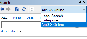
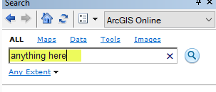
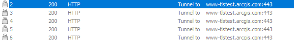
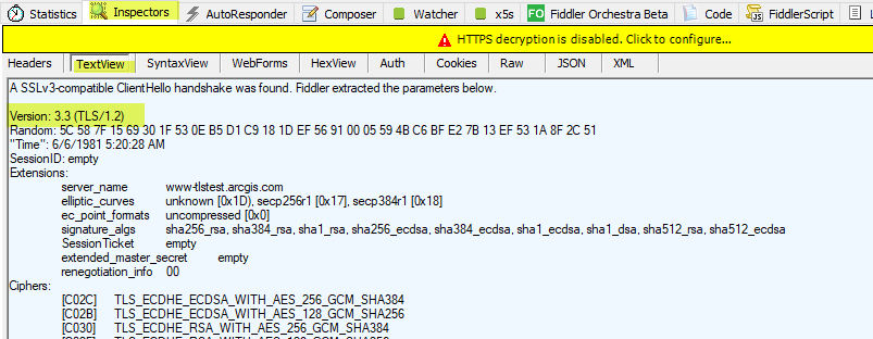
ArcGIS Online TLS Changes: Alternative Testing Methods
RandallWilliams
Esri Regular Contributor
9 Kudos
3 Comments
Coronavirus Downloadable Malware Map App Clarification
RandallWilliams
Esri Regular Contributor
7 Kudos
0 Comments
Building Trust within Your Environment Using SSL Certificates
BrendanBladdickEsri
Esri Contributor
6 Kudos
0 Comments