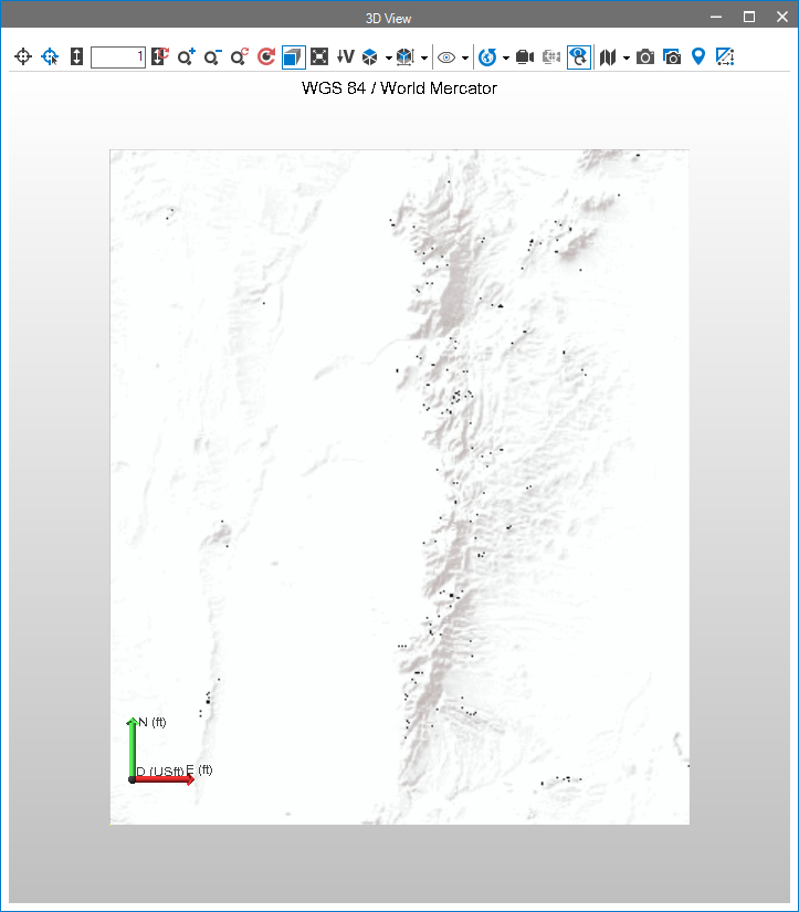
I've noticed the World_Terrain_Base map server includes transparent pixels when exporting images as png. I find that odd, since this is clearly supposed to be a base map. This is a minor problem because my c# application is using an http GET to export the map image as a png, but then it gets converted into a bitmap in order for a legacy OpenGL view to render the image on a surface. As a result, the transparent pixels show up as black, against a grey-scale map.

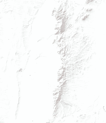
Verses what a web browser renders:

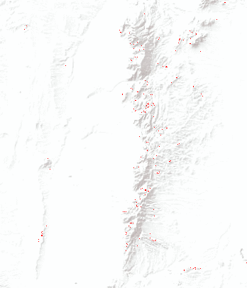
If I save the image from the web as a png, and load it into a paint program (I use Paint.NET) I can show the transparent pixels by inserting a non-white layer under the map image:

My question is, was this on purpose, or is there an error in the map image data?
Here is the export operation I used:
https://services.arcgisonline.com/arcgis/rest/services/World_Terrain_Base/MapServer/export?bbox=-119...