- Home
- :
- All Communities
- :
- Developers
- :
- Developers - General
- :
- Developers Questions
- :
- Re: Can I get census fields by geocoding using Arc...
- Subscribe to RSS Feed
- Mark Topic as New
- Mark Topic as Read
- Float this Topic for Current User
- Bookmark
- Subscribe
- Mute
- Printer Friendly Page
Can I get census fields by geocoding using ArcGIS?
- Mark as New
- Bookmark
- Subscribe
- Mute
- Subscribe to RSS Feed
- Permalink
I'm looking for fields like Tract, Block, Fips State, County, Place, MSA, CBSA, etc..
I want to do a batch job to process many addresses and get this data back per address.
Is this possible with ArcGIS?
Thank you.
- Mark as New
- Bookmark
- Subscribe
- Mute
- Subscribe to RSS Feed
- Permalink
Yes it is possible with ArcGIS.
Using ArcGIS Desktop you could:
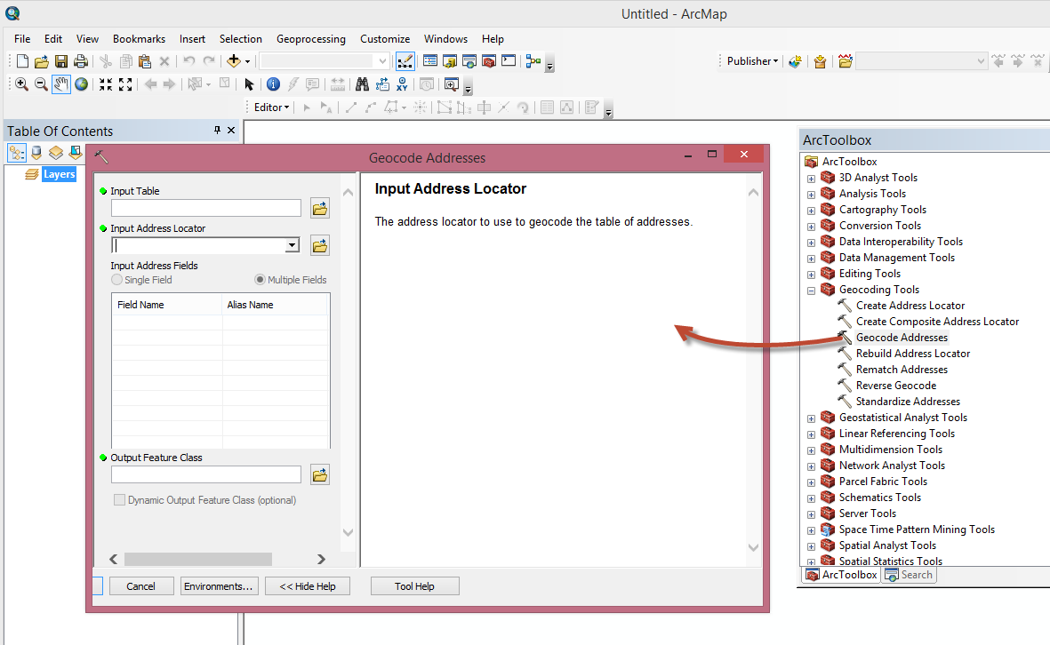
1. create point features from your address data.
Geocoding a table of addresses in ArcMap—Help | ArcGIS for Desktop
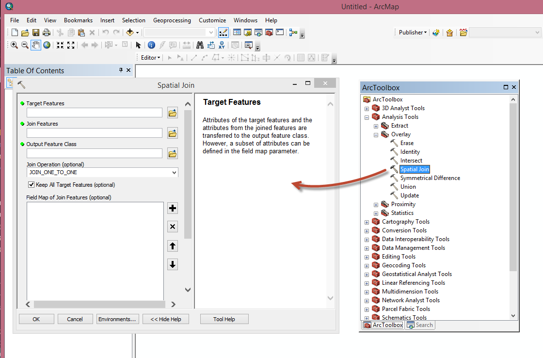
2. use a spatial join to pass desired polygon data attributes to the point data created from your address data.
Spatial Join—Help | ArcGIS for Desktop
Mark
- Mark as New
- Bookmark
- Subscribe
- Mute
- Subscribe to RSS Feed
- Permalink
Hi Mark,
Thank you so much for your help.
I haven't purchased any of the software yet.
1. What software would I need to be able to do geocoding for thousands of addresses?
2. Do I need specific files per state to get all the census info I asked about plus other data?
My data covers the entire united states.
3. What format can my address file be in so I can do batch processing?
Thank you so much I appreciate all your help. I'm trying to research ArcGIS as much as I can to get all my questions answered. Can I send you a list of fields I need and see if they are all available through ArcGIS?
Thank you,
Jerry
- Mark as New
- Bookmark
- Subscribe
- Mute
- Subscribe to RSS Feed
- Permalink
Jerry,
I might be a good idea to contact your local Esri office to get the information that you are looking for.
Esri Offices Worldwide | Find the Esri Office that Serves You
They should be able to help.
Mark