- Home
- :
- All Communities
- :
- Developers
- :
- Developers - General
- :
- Developers Questions
- :
- ArcMap Dataset Linking Question
- Subscribe to RSS Feed
- Mark Topic as New
- Mark Topic as Read
- Float this Topic for Current User
- Bookmark
- Subscribe
- Mute
- Printer Friendly Page
- Mark as New
- Bookmark
- Subscribe
- Mute
- Subscribe to RSS Feed
- Permalink
I have two polygon shp files that do not have a common ID.
I'm trying to link the datasets with a common ID based on spatial location.
Is there a tool/process to link features from one polygon shp file that are spatially located inside the other polygon shp file.
For example, imagine you have a parcel/property boundary layer, and a buildings layer.
Would there be a way to link all building features with the surrounding parcel/property boundary feature with a common ID.
Thank you for any and all help.
Solved! Go to Solution.
Accepted Solutions
- Mark as New
- Bookmark
- Subscribe
- Mute
- Subscribe to RSS Feed
- Permalink
You may want to look at doing a Spatial Join
Spatial Join—Help | ArcGIS for Desktop
GIS Tutorial: How to perform a spatial join in ArcMap - YouTube
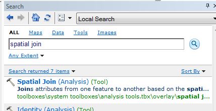
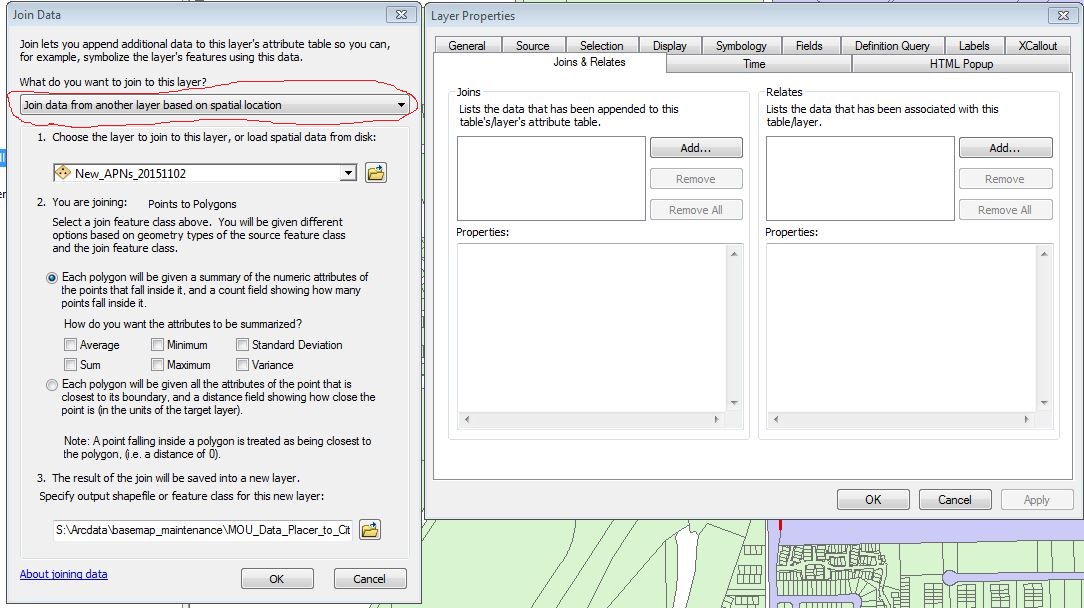
A Spatial Join can be performed with either the Tool in ArcToolbox Spatial Join (Analysis) or by performing a Join to one of the feature classes while accessing the Layer Properties from the Table of Contents in ArcMap.


Chris Donohue, GISP
- Mark as New
- Bookmark
- Subscribe
- Mute
- Subscribe to RSS Feed
- Permalink
You may want to look at doing a Spatial Join
Spatial Join—Help | ArcGIS for Desktop
GIS Tutorial: How to perform a spatial join in ArcMap - YouTube
A Spatial Join can be performed with either the Tool in ArcToolbox Spatial Join (Analysis) or by performing a Join to one of the feature classes while accessing the Layer Properties from the Table of Contents in ArcMap.


Chris Donohue, GISP
- Mark as New
- Bookmark
- Subscribe
- Mute
- Subscribe to RSS Feed
- Permalink
Thanks Chris! I really appreciate the advice.
Have a blessed day
- Mark as New
- Bookmark
- Subscribe
- Mute
- Subscribe to RSS Feed
- Permalink
No problem.
One caution - it can sometimes take a few tries to find the right combination of settings that achieve what is desired with a Spatial Join, so I would run some tests first and carefully check the output. Play around with the Spatial Join and if you get stuck post what you tried and what doesn't seem to be working.
Chris Donohue, GISP