- Home
- :
- All Communities
- :
- Products
- :
- Data Management
- :
- Data Management Questions
- :
- Re: Will merged road datasets be "linked" and read...
- Subscribe to RSS Feed
- Mark Topic as New
- Mark Topic as Read
- Float this Topic for Current User
- Bookmark
- Subscribe
- Mute
- Printer Friendly Page
Will merged road datasets be "linked" and ready to use in a network dataset?
- Mark as New
- Bookmark
- Subscribe
- Mute
- Subscribe to RSS Feed
- Permalink
I need to combine two vector datasets (representing roads) into a single dataset, and then create a network dataset from the result. I believe I can use the merge tool to combine the two vector datasets. However, I am wondering if I need to carry out any further operations to “link” the two merged vector datasets before creating my network dataset. Will the two merged vector datasets be “connected” after the merge, so that the network dataset created from the merged dataset will allow calculation of routes that travel on roads contained in both of the original vector datasets.
- Mark as New
- Bookmark
- Subscribe
- Mute
- Subscribe to RSS Feed
- Permalink
from Merge—Help | ArcGIS for Desktop
- This tool will not split or alter the geometries from the input datasets. All features from the input datasets will remain intact in the output dataset, even if the features overlap. To combine, or planarize, feature geometries, use the Union tool.
And of course there is no guarantee that you won't have gaps, duplicates or myriad of other issues.
Experimentation would be your answer, but using something for which it wasn't designed should be considered
- Mark as New
- Bookmark
- Subscribe
- Mute
- Subscribe to RSS Feed
- Permalink
Yes I was wondering what must be done to "planarize" the two datasets. Glad to know that union will do this. This is what I was looking for. Thanks
- Mark as New
- Bookmark
- Subscribe
- Mute
- Subscribe to RSS Feed
- Permalink
I was just looking at the union tool, and I believe the union tool can only be used on polygonal geometries. I believe I have to use the merge tool on linear geometries. Do you know if ArcMap will planarize my data when I create a network dataset?
- Mark as New
- Bookmark
- Subscribe
- Mute
- Subscribe to RSS Feed
- Permalink
You do need to use the Merge tool. The Network Dataset will not Planarize the lines for you. To Planarize the lines with a geoprocessing tool you can use the tool that Devdatta Tengshe points out in his response to this post:
"The Feature To Line (Data Management) geoprocessing tool can be used for 'cleaning up' the data.
The help file mentions:
Where input lines or polygon boundaries touch, cross, or overlap each other at locations other than their start and end vertices, they will be split at those intersections; each of the split lines will become an output line feature. If an input line or polygon boundary is not intersected by another feature, its entire shape will still be written out as a line feature.
In Addition, remember to set the Preserve attributes option to true, in order to preserve the attributes in the output file."
Also the comments by ccn and fmark point out that:
"This is the most efficient option, and you can go a step further when you set an appropriate cluster_tolerance to 'correct' minor undershoots and overshoots in data, too (but be wary that the tolerance value doesn't simplify the data beyond useful spatial accuracy)" - ccn
"Its worth adding that if you want to do the cluster combining as a separate step you can use the Integrate tool." - fmark
If you have ArcMap 10.3 you should also look at the Conflation Toolset in the Editing toolbox. The Generate Edgematch Links and Edgematch Features tools may be of particular use. The other Editing toolbox tools can also be useful if you don't want to use a geodatabase topology.
- Mark as New
- Bookmark
- Subscribe
- Mute
- Subscribe to RSS Feed
- Permalink
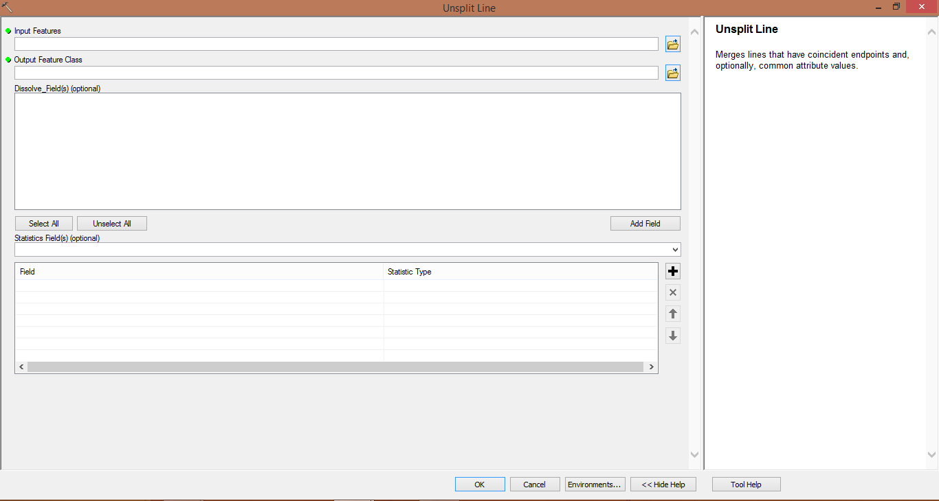
If combined roads have same code or name ...etc
you can after merge the roads use Unsplit lines Tool in (Data Management Tools - Features ) and using the field that has same code for each splited road in two feature classes in Dissolve_Field option in the tool.
- Mark as New
- Bookmark
- Subscribe
- Mute
- Subscribe to RSS Feed
- Permalink
sadly I do not have a shared field between the two datasets
- Mark as New
- Bookmark
- Subscribe
- Mute
- Subscribe to RSS Feed
- Permalink
If you don't have shared fields between the two datasets, how do you expect to build a Network Dataset? A Network Dataset without a set of fields that apply to the entire network to control things like route naming and evaluators is not going to be very useful.
- Mark as New
- Bookmark
- Subscribe
- Mute
- Subscribe to RSS Feed
- Permalink
The only task I am looking to accomplish with this network dataset is building an OD cost matrix
- Mark as New
- Bookmark
- Subscribe
- Mute
- Subscribe to RSS Feed
- Permalink
I suppose I should mention that the two datasets do both have a field to uniquely identify each segment, but they use different conventions. The duplicate segments do not have the same entries for the field that uniquely identifies the individual segments.