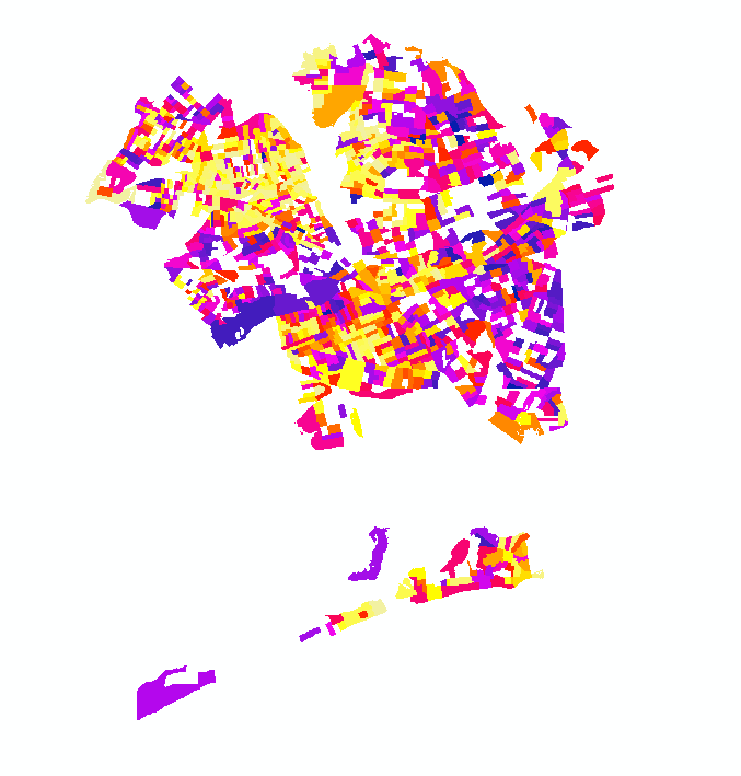

I'm trying to do a simple representation of some data (milkFactor in the attached file) using graduated colors. My problem is that GIS isn't sampling all of the data from the attribute table.


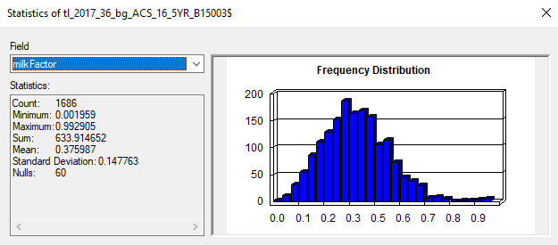
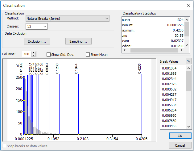
I first noticed that while the attribute table shows the maximum value is ~.99 the classification menu shows that the maximum values is ~.42 and that the shape of the distribution is totally different from that of the statistics menu from the attribute table. Additionally, the attribute table has 1,686 values under milkFactor, but the classification menu is only reading in 1,324. My maximum sample size is set to 10,000, so that doesn't seem to be the problem either.
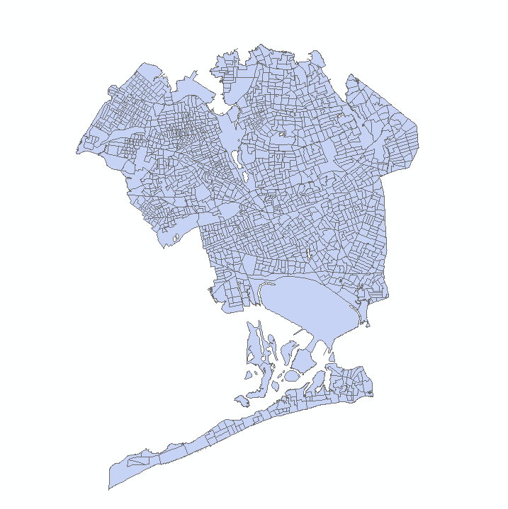
I only seem to get this problem when i try to map quantities. I have no holes in my map when I change the symbology to features of categories. I'm running ArcMap 10.5.1. Does anyone know what's going on here?