Hi All-
I put this tool together for FWS use - we are looking to increase transparency and value on US-FWS investments - so, here you go.
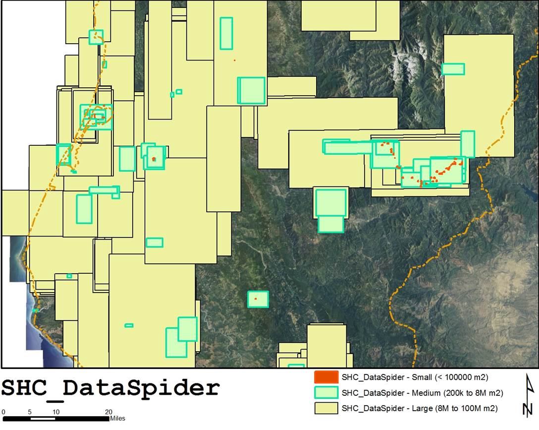
The SHC_DataSpider is a python script that inventories GIS data directories (or whole drives) and produces a geodatabase of indices and metatata. For instance, it creates a FC of extent rectangles for all data, and builds attribute tables depending on the data flavor.
The script is currently posted on GitHub - I am revising it for multi-core, and better crash prevention (the ESRI Python bindings tank when encountering corrupt/broken data sets, but it is a very cool project, IMO. Share and enjoy!
GeospatialDaryl/KSHC_DataSpider · GitHub