- Home
- :
- All Communities
- :
- Products
- :
- Data Management
- :
- Data Management Questions
- :
- Re: setting max vertices in Contour tool
- Subscribe to RSS Feed
- Mark Topic as New
- Mark Topic as Read
- Float this Topic for Current User
- Bookmark
- Subscribe
- Mute
- Printer Friendly Page
setting max vertices in Contour tool
- Mark as New
- Bookmark
- Subscribe
- Mute
- Subscribe to RSS Feed
- Permalink
Hello,
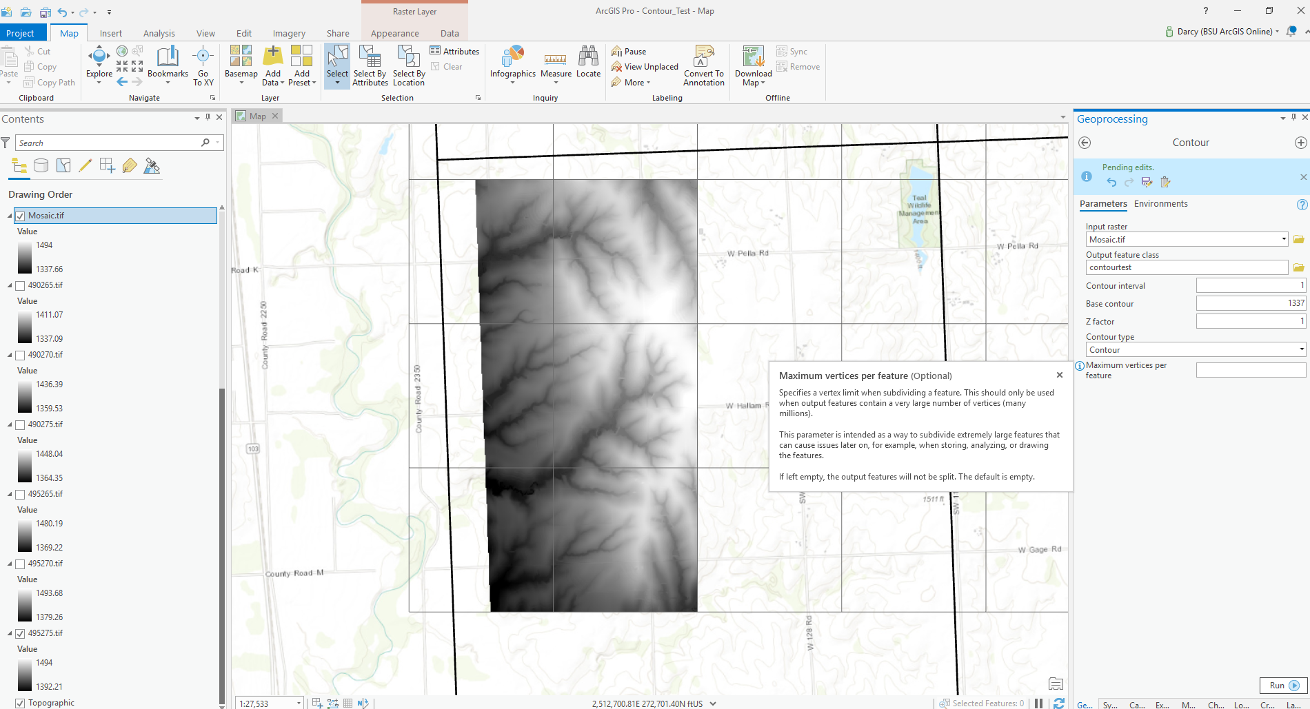
I'm trying to create a 1 ft contour feature class from a (mosaiked) tif file. This data was created from LiDAR.
How would you recommend setting the max vertices in the contour tool? I want to retain as much detail as possible, but also not so much detail that displaying later on will be an issue. Eventually these files will be tiled by qquad area (shown in the bold line).
Thank you for any ideas
Darcy

- Mark as New
- Bookmark
- Subscribe
- Mute
- Subscribe to RSS Feed
- Permalink
Here are a couple of sources.
https://www.youtube.com/watch?v=q3iblCHGoZk
It has been 4 years, but I used the Esri suggestion of building them from a terrain file, which the LIDAR vendor had provided. They were a bit smoother than whatever I had tried (probably TINs). However, my main goal was 20m contours on some high-relief terrain. I also did 10m and others, but we don't use these much. If you really need 1m contours and you have a lot of relief in your area of interest, there is no way even smoothed ones will draw without some painful waiting times. What I have done is set up layers (.lyr files) that turn on 10m and 1m features only as the user zooms in to appropriate scales (turning off the other layers at the same time). This reduced wait times and also allows the labeling and symbology to be set to work at the appropriate scale range.