Turn on suggestions
Auto-suggest helps you quickly narrow down your search results by suggesting possible matches as you type.
Cancel
- Home
- :
- All Communities
- :
- Products
- :
- Data Management
- :
- Data Management Questions
- :
- Re: Published Mosaic Dataset: Greyed Out
Options
- Subscribe to RSS Feed
- Mark Topic as New
- Mark Topic as Read
- Float this Topic for Current User
- Bookmark
- Subscribe
- Mute
- Printer Friendly Page
Published Mosaic Dataset: Greyed Out
Subscribe
6133
6
08-17-2013 02:47 AM
08-17-2013
02:47 AM
- Mark as New
- Bookmark
- Subscribe
- Mute
- Subscribe to RSS Feed
- Permalink
We are currently still using ArcGIS 10 for our Desktop and Server.
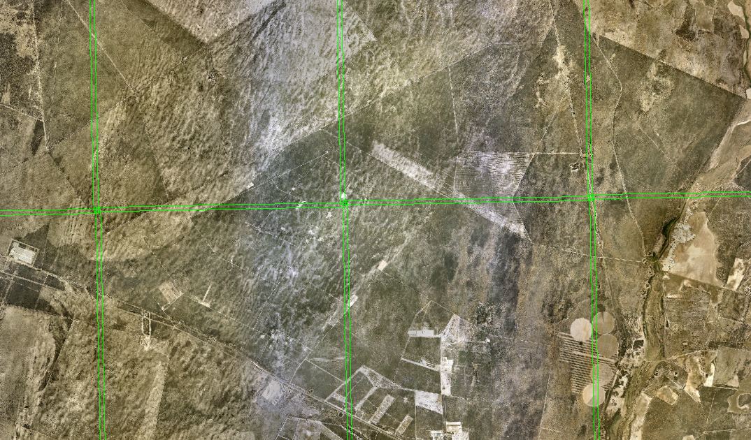
We have suddenly come across the following problem and not sure what has changed that can be causing our published Mosaic Datasets to grey out when zoomed into the individual tiles level. We have made sure that the ArcGIS Server SOC and SOM accounts have full access to the directory wherein which we are publishing our Mosaic Datasets. We have also ensured that we are using UNC paths for the Mosaic Dataset. The Mosaic Dataset draws correctly within ArcCatalog, in that the Mosaic displays correctly when zoomed into the individual tiles. As soon as we publish the Mosaic Dataset, the published service will display the overviews but not the individual tiles. Our only work around at this stage is to store the images within the File Geodatabase. The problem is that we can't keep converting our aerial orthophotos into grids as we are losing the compression that they are currently stored in (ECW and MrSID) and will run out of storage space. Any help or advice will be appreciated.
Regards
6 Replies
08-18-2013
02:52 AM
- Mark as New
- Bookmark
- Subscribe
- Mute
- Subscribe to RSS Feed
- Permalink
Do you have ECW for ArcGIS Server installed and licensed? See http://geospatial.intergraph.com/products/other/ecw/ecw_for_arcgis_server/Downloads.aspx and http://support.esri.com/en/knowledgebase/techarticles/detail/36261
I don't know, but assume there's a similar requirement for MrSID.
I don't know, but assume there's a similar requirement for MrSID.
by
Anonymous User
Not applicable
08-18-2013
03:08 AM
- Mark as New
- Bookmark
- Subscribe
- Mute
- Subscribe to RSS Feed
- Permalink
Original User: Playa
Hi Luke
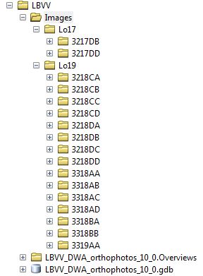
After speaking to Peter Becker from ESRI, it was indeed identified that unless you have a server licence for ECW or MrSID it won't publish. I've converted our images into a File Geodatabase as ESRI Grid's and published from there. Thanks for your response.
Regards
Hi Luke
After speaking to Peter Becker from ESRI, it was indeed identified that unless you have a server licence for ECW or MrSID it won't publish. I've converted our images into a File Geodatabase as ESRI Grid's and published from there. Thanks for your response.
Regards
08-19-2013
08:39 AM
- Mark as New
- Bookmark
- Subscribe
- Mute
- Subscribe to RSS Feed
- Permalink
Hi Peter,
You should convert the data to Tiff. Peter Becker would agree with that and I would be surprised if that wasn't already advised. Tiff should be faster than File Geodatabase rasters. Please note that FGDB rasters and Esri GRID are two completely seperate formats. It's impossible to store an Esri GRID in a File Geodatabase.
Best,
Eric
by
Anonymous User
Not applicable
08-19-2013
09:00 AM
- Mark as New
- Bookmark
- Subscribe
- Mute
- Subscribe to RSS Feed
- Permalink
Original User: Playa
Hi Eric
Thanks for the clarification of the following. Apologies for the incorrect use of terminology. I presumed that if my rasters were stored within a File Geodatabase, that they were in fact stored as ESRI GRID's. After reading your post, I investigated the format of my images within the File Geodatabase and they are FGDBR. What's the difference between FGDBR and ESRI GRID's? What's the reason that TiFF are better than storing my images within a File Geodatabase?
Thanks Eric.
Regards
08-19-2013
09:52 AM
- Mark as New
- Bookmark
- Subscribe
- Mute
- Subscribe to RSS Feed
- Permalink
Hi Peter,
I recommend some reading at this point. It's long, but worth it. For the Tiff comment it is simply faster to access than a FGDBR. Here is an excerpt from Imagery: Data Management and patterns and recommendations.
"Optimized image formats�??Some imagery can be slower to read than others due to their storage format or compression, and it is recommended that you convert these into more optimal formats. For example, an ASCII DEM image format is slow to read; therefore, it is recommended that you convert it to a format such as TIFF. Also, if the image is very large and not tiled it is recommended that you convert this to a tiled TIFF format to optimize disk access."
Since you have to convert from ECW you might as well go to an optimized image format like Tiff. Also, while in ArcMap go to Customize > Options > Raster tab, and make sure Created Tiled Tiff is checked on. It should be on since that is the default. You can even compress the Tiff file, so you might consider Tiled Tiff with jpeg compression. If you know Peter Becker and he is familiar with your data he can probably guide you on this quite well.
For the format questions please see the following.
Esri GRID format
How raster data is stored and managed (this explains the FGDB parts including PGDB and Enterprise geodatabases)
If you really want to know how a FGDBR is actually stored in the FGDB you can read all about it in the SDE section since they follow the same idea/storage.
Raster datasets and raster catalogs in a geodatabase in SQL Server
Best,
Eric
by
Anonymous User
Not applicable
08-19-2013
10:14 AM
- Mark as New
- Bookmark
- Subscribe
- Mute
- Subscribe to RSS Feed
- Permalink
Original User: Playa
Hi Eric
Thanks for the following its greatly appreciated. I'll read through the following to better understand my options for managing our imagery and contact Peter, to confirm my proposed workflow for managing our imagery.
Regards
Hi Eric
Thanks for the following its greatly appreciated. I'll read through the following to better understand my options for managing our imagery and contact Peter, to confirm my proposed workflow for managing our imagery.
Regards