- Home
- :
- All Communities
- :
- Products
- :
- Data Management
- :
- Data Management Questions
- :
- Re: Possible to code? - Attach picture to feature
- Subscribe to RSS Feed
- Mark Topic as New
- Mark Topic as Read
- Float this Topic for Current User
- Bookmark
- Subscribe
- Mute
- Printer Friendly Page
- Mark as New
- Bookmark
- Subscribe
- Mute
- Subscribe to RSS Feed
- Permalink
I am building a map from scratch of a water/sewer system. My current work flow is like this...
- Collect points on Topcon GRS-1 (handheld GPS unit)
- Convert to shapefile
- Move file to my computer
- Append to my existing gdb
This has worked so far with manholes and valves, but we are taking pictures of the hydrants... and moving that over has not been fun.
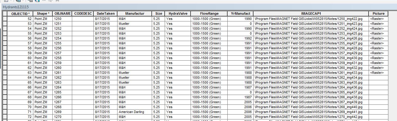
The picture's "name" shows up in the shapefile as it's location on the handheld (IMAGECAP1 below). This is my general work flow:
- Move shapefile to my computer (like before)
- Put file of pictures taken on computer
- Convert shapefile to feature class in default.gdb
- Attach raster by searching for each individual file on my computer
- Append to existing gdb (No Test)
When I'm bringing in at least 150-200 hydrants each time I do this, it can be pretty time consuming. Is there a way I could do this using code? The reason I use the default gdb is because I don't want the IMAGECAP1 attribute to be included in my existing gdb, but I need to see the picture's name in order to attache the raster. I hope this makes sense!
Solved! Go to Solution.
Accepted Solutions
- Mark as New
- Bookmark
- Subscribe
- Mute
- Subscribe to RSS Feed
- Permalink
Have you had a look at Working with the Attachments geoprocessing tools—Help | ArcGIS for Desktop
- Mark as New
- Bookmark
- Subscribe
- Mute
- Subscribe to RSS Feed
- Permalink
No, but I will now!