Turn on suggestions
Auto-suggest helps you quickly narrow down your search results by suggesting possible matches as you type.
Cancel
- Home
- :
- All Communities
- :
- Products
- :
- Data Management
- :
- Data Management Questions
- :
- NOAA bathymetric data offshore raster block is wha...
Options
- Subscribe to RSS Feed
- Mark Topic as New
- Mark Topic as Read
- Float this Topic for Current User
- Bookmark
- Subscribe
- Mute
- Printer Friendly Page
NOAA bathymetric data offshore raster block is what?
Subscribe
10-18-2014
01:13 PM
- Mark as New
- Bookmark
- Subscribe
- Mute
- Subscribe to RSS Feed
- Permalink
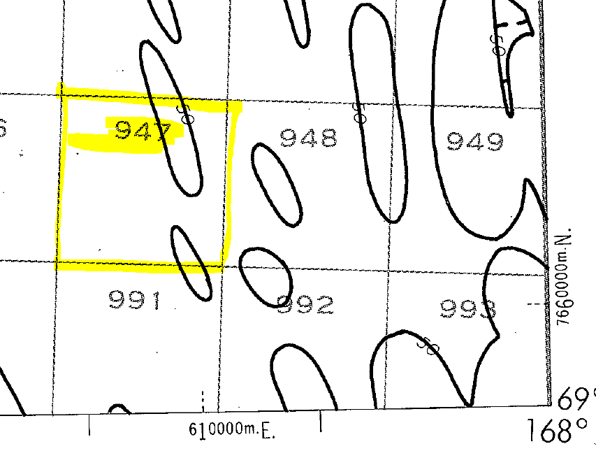
I am wondering what the blocks offshore are called in a NOAA bathymetric chart? And what do they represent.
NGDC/MGG-Download NOS Scanned Bathymetric and Fishing Maps Alaska & Bering Sea North of 58 degrees
I did some looking around on the web but could not find anything definite.
Thanks for any input!
Forest
Solved! Go to Solution.
1 Solution
Accepted Solutions
10-20-2014
09:16 AM
- Mark as New
- Bookmark
- Subscribe
- Mute
- Subscribe to RSS Feed
- Permalink
Outer Continental Shelf Lease Blocks
1 Reply
10-20-2014
09:16 AM
- Mark as New
- Bookmark
- Subscribe
- Mute
- Subscribe to RSS Feed
- Permalink
Outer Continental Shelf Lease Blocks