- Home
- :
- All Communities
- :
- Products
- :
- Data Management
- :
- Data Management Questions
- :
- Re: NetCDF file to Raster layer
- Subscribe to RSS Feed
- Mark Topic as New
- Mark Topic as Read
- Float this Topic for Current User
- Bookmark
- Subscribe
- Mute
- Printer Friendly Page
NetCDF file to Raster layer
- Mark as New
- Bookmark
- Subscribe
- Mute
- Subscribe to RSS Feed
- Permalink
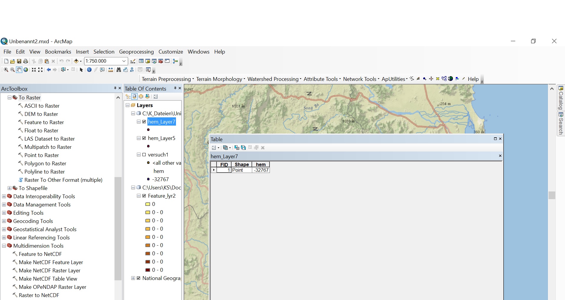
I have a question respective NetCDF Raster Layer.
I downloaded a netcdf file from EOWEB. I have inserted it as a feature layer and converted in Raster layer, but i think the file is empty. What is my Problem respectively my mistake.
My targed, i want to see the height data, because i want to charge a hydro power potential.
Sorry my englisch ist very bad.
- Mark as New
- Bookmark
- Subscribe
- Mute
- Subscribe to RSS Feed
- Permalink
Did you meet all the criteria for conversion to a raster layer?
And, it is also not good to add data to a dataframe with a basemap unless you are absolutely sure that the data has a defined coordinate system because you will probably never see it unless the data happens to be in the same coordinate system (generally web Mercator for basemaps)
- Mark as New
- Bookmark
- Subscribe
- Mute
- Subscribe to RSS Feed
- Permalink
Hello Mr. Patterson,
thank you for your answer.
I think, I have read and follow the criteria.
What do you mean with "not good to add data to a dataframe with a basemap" what is the alternative?
- Mark as New
- Bookmark
- Subscribe
- Mute
- Subscribe to RSS Feed
- Permalink
from the menu... Insert, Data Frame ...
It will give you a blank unpolluted data frame. The first file that is added to a data frame sets its coordinate system. If you then add a file with an unknown or wrongly defined coordinate system to it... nothing will match.
It is best to explore your data to ensure it shows first, then you can add the basemap if you need one.