- Home
- :
- All Communities
- :
- Products
- :
- Data Management
- :
- Data Management Questions
- :
- How can I find a shapefile of all restaurants and ...
- Subscribe to RSS Feed
- Mark Topic as New
- Mark Topic as Read
- Float this Topic for Current User
- Bookmark
- Subscribe
- Mute
- Printer Friendly Page
How can I find a shapefile of all restaurants and bakeries in California? Or a free list of addresses to Geocode?
- Mark as New
- Bookmark
- Subscribe
- Mute
- Subscribe to RSS Feed
- Permalink
Hi I am currently trying to search for restaurant (of all types) and bakeries in California. I am thinking finding a shapefile of this is pretty unlikely but was wondering where I might find a free comprehensive list of addresses that I could then geocode within arcmap? Can google maps or google earth provide this for me?
Thanks,
Melissa
- Mark as New
- Bookmark
- Subscribe
- Mute
- Subscribe to RSS Feed
- Permalink
Once you see your layer in My Contents on ArcGIS Online click on the item, it would direct you to a new page...then under layers you would see your layer. There would be a small arrow to pull a drop down just beside that layer where you would get an option to export it out as a shapefile and/or a ,csv.
- Mark as New
- Bookmark
- Subscribe
- Mute
- Subscribe to RSS Feed
- Permalink
Hi Rakesh,
Under layers I see all of my layers. the small arrow to pull a drop down just beside that layer gives me the options of view item details, add layer to map, add layer to new map. These are the only options. The type is saved as a feature layer.
Thanks,
Melissa
- Mark as New
- Bookmark
- Subscribe
- Mute
- Subscribe to RSS Feed
- Permalink
Yes, go for View Items, once on that page under layers you would see your layer and just beside that there would be a small arrow which would give you the option to export to a shapefile or a CSV.
- Mark as New
- Bookmark
- Subscribe
- Mute
- Subscribe to RSS Feed
- Permalink
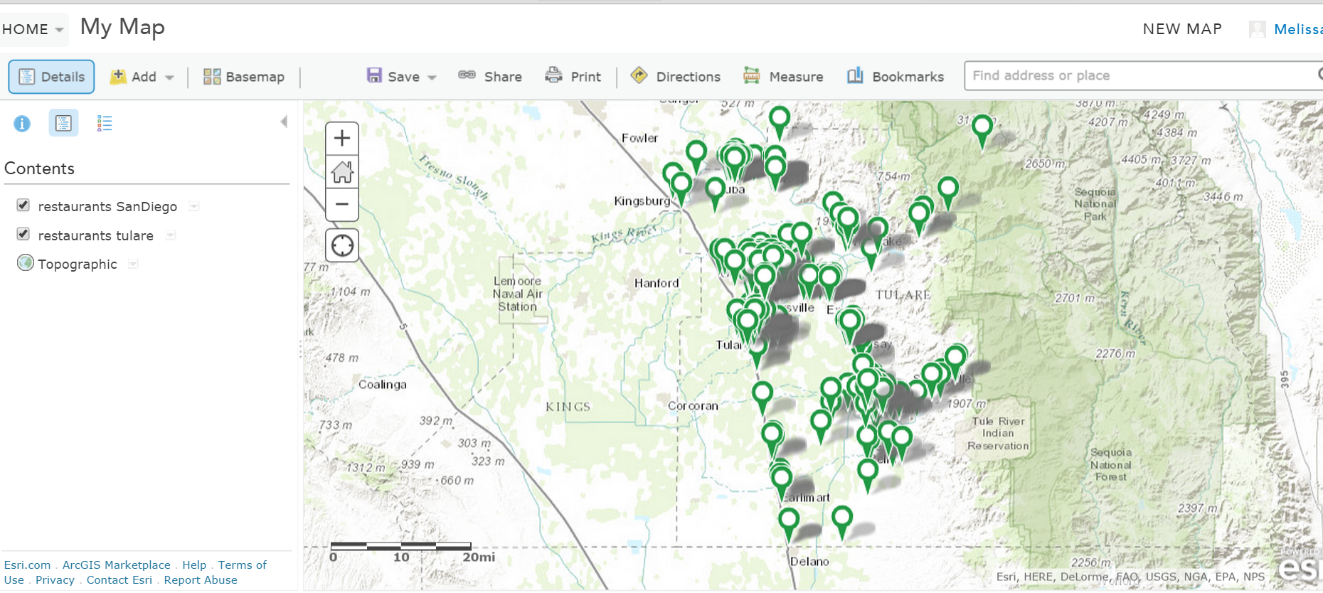
When I click view item details this is where it brings me to. There is no layer option and when I click open it prompts me to open in map or open in new map. When I click add layer to map it brings me the map view image below. Here I click on the small little drop down menu on the side and click "perform analysis" and then click "manage data" and then "extract data" where I can choose an output format of shapefile, csv, kml or file geodatabase. The only issue is it only allows me to save back to my content in my arcgis online account. I went ahead and tried to do this and clicked "run analysis" and went back to my content and did not see a csv saved anywhere.
- Mark as New
- Bookmark
- Subscribe
- Mute
- Subscribe to RSS Feed
- Permalink
Hi Rakesh,
Thank you so much for the tutorial but I don't have this option when I click on view item details it goes from description to properties. There is no layers header below the description header. Do you know why this could be?
Thanks,
Melissa
- Mark as New
- Bookmark
- Subscribe
- Mute
- Subscribe to RSS Feed
- Permalink
I am using a 60 day trial of Arc Desktop and ArcGIS online. Is this why I do not have the export option?
- Mark as New
- Bookmark
- Subscribe
- Mute
- Subscribe to RSS Feed
- Permalink
Trial does not make a difference.
- Mark as New
- Bookmark
- Subscribe
- Mute
- Subscribe to RSS Feed
- Permalink
Hi Rakesh, last we spoke I ended up figuring out how to export all my layers as cSVs and combine them into one CSV and create a shapefile. However I had to go in and edit all my layers to exclude bakeries because we decided to omit this. When I did this and deleted all my layers and CSVs in my ArcGIS online account I then shared all my layers with my arcGIS online account again (same name as before but because I deleted them I figured it wouldn't matter) now after I try to publish my layer so that I can export it as CSV I am getting an Error message that says "The item with the same key has already been added". I tried to change of the names i.e restaurants_alameda2 instead of restraunts_alameda (even though restaurants_alameda was deleted from my arcgis online) but this didn't seem to work. Any ideas?
- Mark as New
- Bookmark
- Subscribe
- Mute
- Subscribe to RSS Feed
- Permalink
Hi Melissa,
It seems as if AGOL is still reading the older layers in the backend. It might also be possible that the layers or one of the Service definition file still exits. How actually you are trying to publish the layer to AGOL? Where and how you edited the layers? Did you create a local copy of the layers in ArcGIS Desktop and synchronised it back with AGOL? Please help me with the answers such that I can better assist you.
Thanks,
Rakesh
- Mark as New
- Bookmark
- Subscribe
- Mute
- Subscribe to RSS Feed
- Permalink
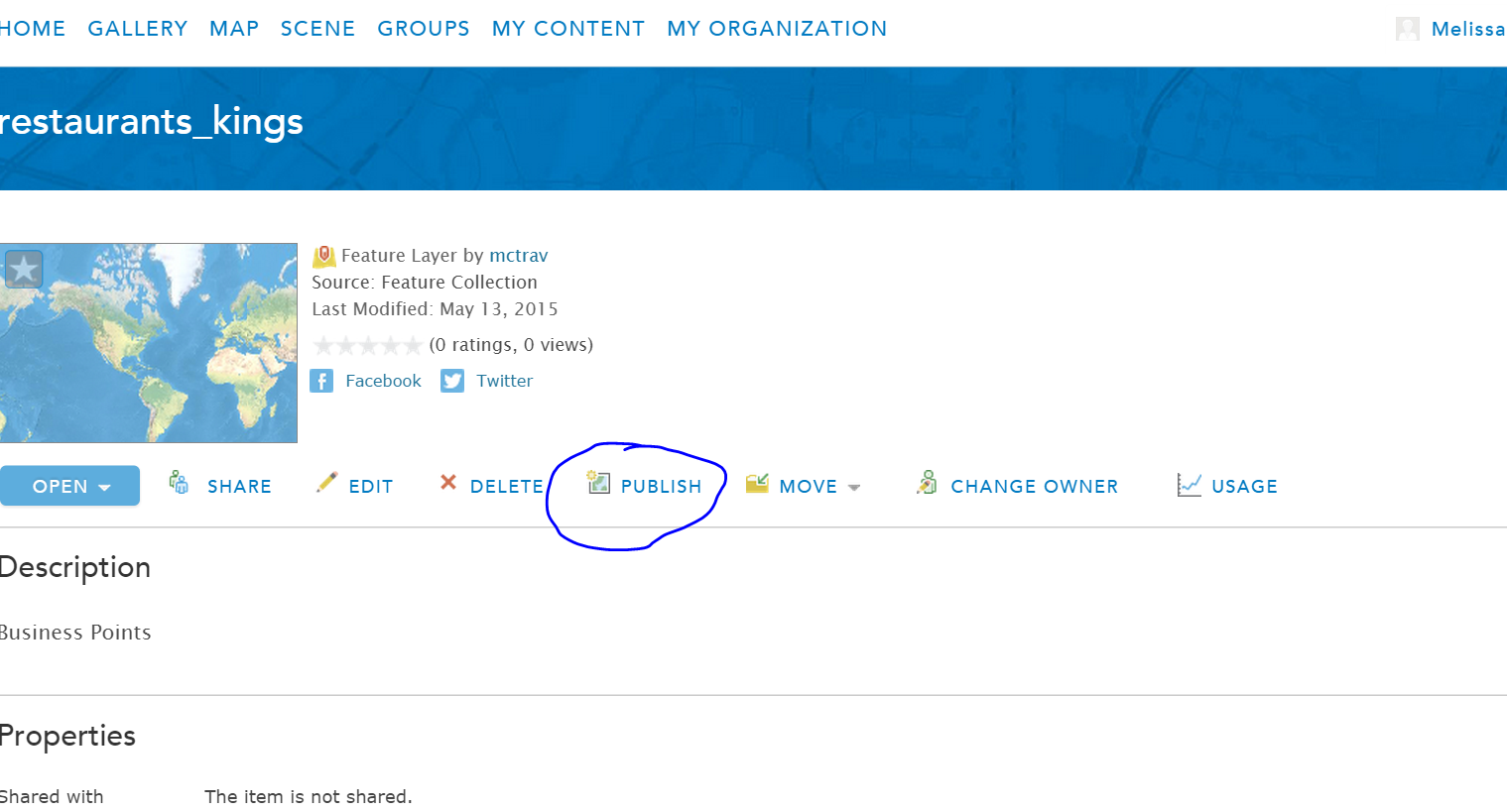
Hi Rakesh,
I edited my layers in the community analyst tool to omit some point locations within each county. I then went into my ArcGIS online account and deleted all my layers under My content "My Layers-CA-Business Points" and then deleted my CSVs under "mctrav(home)". I then went into Groups where I believe they were published to and I deleted all my layers here. The image attached shows what I clicked on to publish my layers originally.